Sign up or log in to your Spatialnode account.

Takes less than a few seconds.

Kincade Fire Progression Map

Naomi Yates
Naomi Yates•

January 19, 2022

Kincade Fire Progression Map

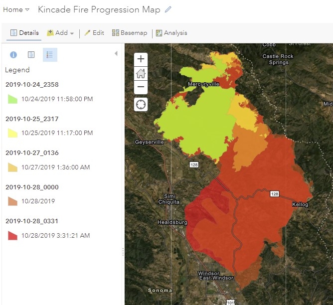
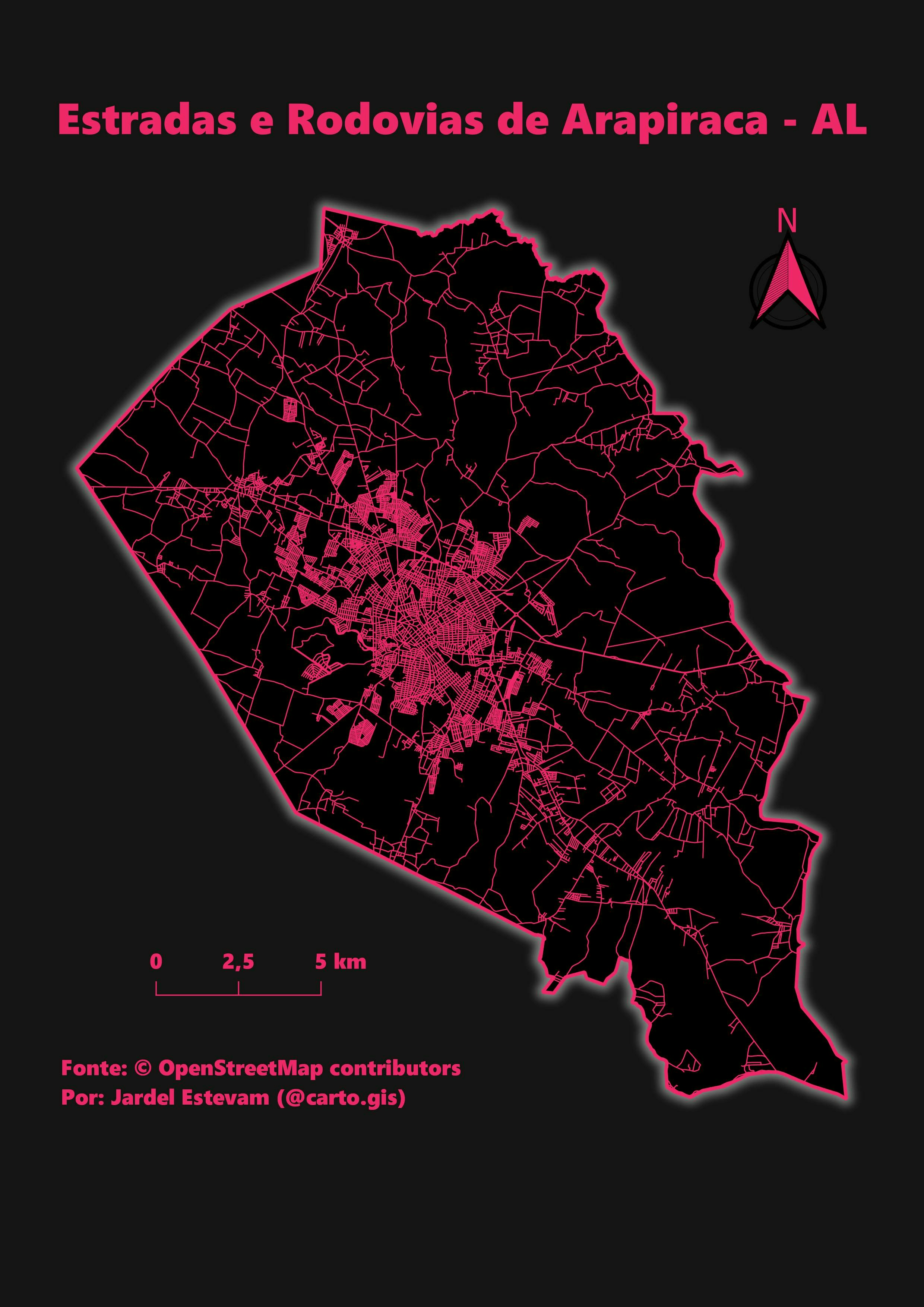
This is a map of a 2019 fire progression, which I made in ArcGIS Pro for Geography 9 at Shasta College in Spring 2021.

Demo

Tools used

ArcGIS OnlineArcGIS Pro

More by Naomi Yates

NorthStateGIS Community of Practice Map
18
Middle School Mapping Club Projects
21
The California Water Crisis
296
Old House, New Home
Old House, New Home
83
City of Shasta Lake Parks storymap
8
Shingletown Lidar Viewer
365
NorthStateGIS YouTube Videos
309
Caltrans D2 Guardrail Inventory Project
26
GeoCV
GeoCV
279
QGIS Dam/Reservoir Resiliency Study
587

You might also like

Afghanistan Snowpack Change Detection
Derek R Schiavone
Afghanistan Snowpack Change Detection
Derek R Schiavone
152
Localização Bacia do rio Itajaí
Vivian Maria
Localização Bacia do rio Itajaí
Vivian Maria
123
Drainage Map of river and akwa Ibom
Ologun Emmanuel Ayowole
Drainage Map of river and akwa Ibom
Ologun Emmanuel Ayowole
85
Lord of The Rings Style
Adriana Calderon
Lord of The Rings Style
Adriana Calderon
440
Pemba Ward wise population distributon
Hashimu Misanya
Pemba Ward wise population distributon
Hashimu Misanya
42
How to Measure Land Use Mix via Entropy
Stewart Berry
How to Measure Land Use Mix via Entropy
Stewart Berry
342
Mapa de Uso e Ocupação da Terra
Sidney dos Santos
Mapa de Uso e Ocupação da Terra
Sidney dos Santos
10
Remote Sensing based Agave Classifcation
Angel Bautista
Remote Sensing based Agave Classifcation
Angel Bautista
16
North Dakota Corn For Grain
Keran Nkongolo
North Dakota Corn For Grain
Keran NkongoloPro
7
Calculating Impervious Surfaces
Miranda Teats
Calculating Impervious Surfaces
Miranda Teats
49
Elevation map of Peshawar valleyPakistan
Arman Alam
Elevation map of Peshawar valleyPakistan
Arman Alam
32
Species presence analysis(National Park)
Marta Rueda Pasadas
Species presence analysis(National Park)
Marta Rueda Pasadas
13

Join the community!

We're a place where geospatial professionals showcase their works and discover opportunities.

Sign Up for free