Sign up or log in to your Spatialnode account.

Takes less than a few seconds.

GeoCV

Naomi Yates
Naomi Yates•

January 19, 2022

GeoCV

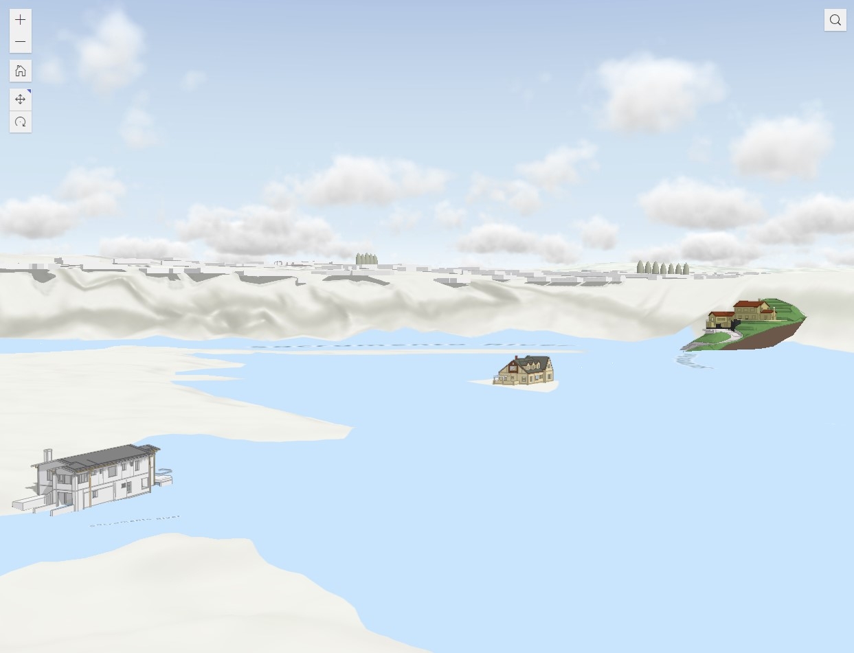
This is a story map of my personal CV, which I created with ArcGIS Pro and ArcGIS Online, for my Geography 9 class at Shasta College in Spring 2021.

Demo

Tools used

ArcGIS OnlineArcGIS ProArcGIS Story Maps

tags

CV

More by Naomi Yates

QGIS Dam/Reservoir Resiliency Study
579
NorthStateGIS Community of Practice Map
12
NorthStateGIS YouTube Videos
302
Kincade Fire Progression Map
39
Old House, New Home
Old House, New Home
83
Middle School Mapping Club Projects
20
Caltrans D2 Guardrail Inventory Project
26
Shingletown Lidar Viewer
364
City of Shasta Lake Parks storymap
8
The California Water Crisis
288

You might also like

Sand mining in Rio Paraná
Fernando Santos
Sand mining in Rio Paraná
Fernando Santos
12
 NbS Suitability Assessment
Wong Yong Bin
NbS Suitability Assessment
Wong Yong Bin
37
Lights Heatmap 🌃
Alexa Cristina
Lights Heatmap 🌃
Alexa Cristina
57
Tree Distribution Map UBC, Vancouver
Ishampreet
Tree Distribution Map UBC, Vancouver
Ishampreet
57
Mapa de uso ocupação de solo
Paulo Ricardo Gomes de Souza
Mapa de uso ocupação de solo
Paulo Ricardo...
277
People Mover Aeroporto de Guarulhos GRU
Matheus Amaral Prates
People Mover Aeroporto de Guarulhos GRU
Matheus Amaral Prates
63
Aegean Islands
Adriana Calderon
Aegean Islands
Adriana Calderon
140
Toledo Freighter Site Analysis
alyle5@charlotte.edu
Toledo Freighter Site Analysis
alyle5@charlotte.edu
18
Divisão das Mesorregiões de Minas Gerais
SUSANE LAIS DA SILVA CHAVES
Divisão das Mesorregiões de Minas Gerais
SUSANE LAIS...
194
Land cover classification Colombia
Angela Mejia
Land cover classification Colombia
Angela Mejia
17
Determining Areas of Active Wildfire
Cameron
Determining Areas of Active Wildfire
Cameron
16
Automated Rural Land Valuation
Kaio Serrano Galvão
Automated Rural Land Valuation
Kaio Serrano Galvão
20

Join the community!

We're a place where geospatial professionals showcase their works and discover opportunities.

Sign Up for free