Sign up or log in to your Spatialnode account.

Takes less than a few seconds.

Map of Kogi state highlighting Lokoja

Chukwulobe Martins Ugonna
Chukwulobe Martins Ugonna•

November 22, 2023

Map of Kogi state highlighting Lokoja

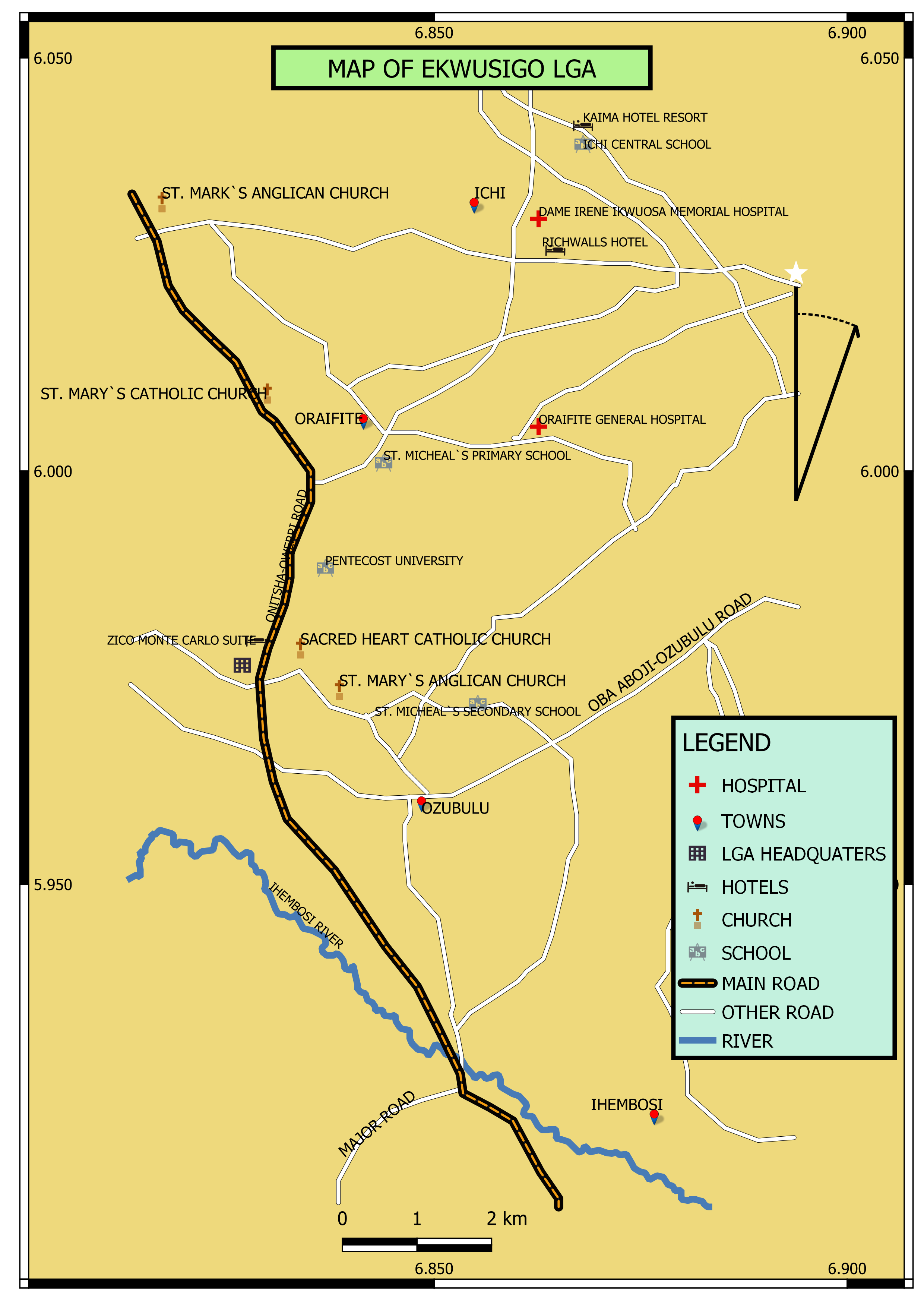
QGiS, Open street maps, Google map work collaboration.


Plug-ins used

QuickOSM

tags

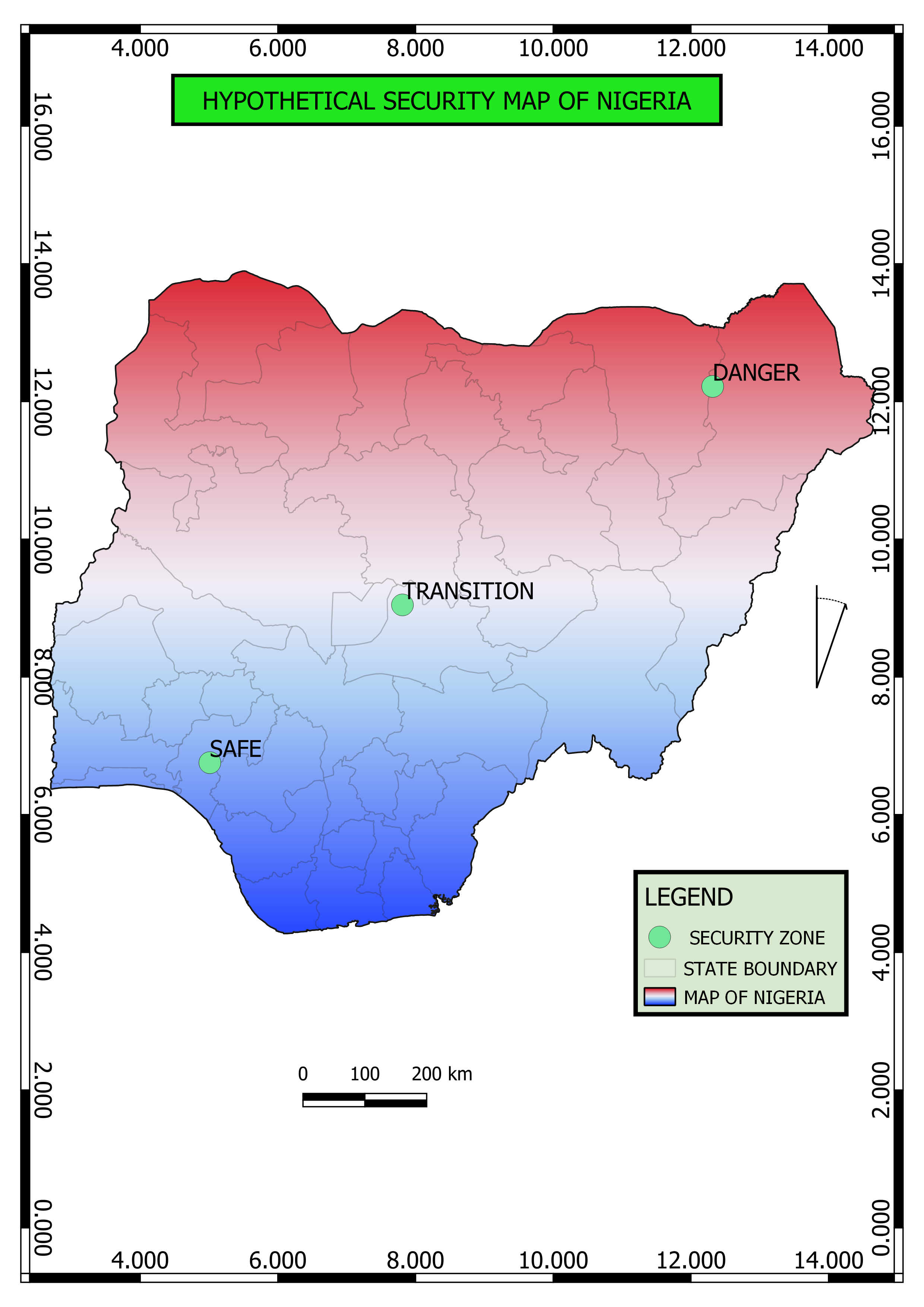
Kogi NigeriaNorthCentral Nigeria

More by Chukwulobe Martins Ugonna

Map of Enugu state showing road network
482
Map of Udi LGA in Enugu State, Nigeria
208
Hypothetical security map of Nigeria
20
Map of Anambra classed by Population
397
Map of Kogi State
Map of Kogi State
668
Map of Ekwusigo LGA, Anambra State
272
Contour map of Enugu State, Nigeria
414
Elevation map of Uzo Uwani Enugu State
43

You might also like

POP. DENSITY ESTIMATES OF NIGERIA : 2021
Bamidele Daniel Ohinoyi
POP. DENSITY ESTIMATES OF NIGERIA : 2021
Bamidele Daniel Ohinoyi
475
Massacres in Latin America, 2018-2022
Sebastian Silva
Massacres in Latin America, 2018-2022
Sebastian Silva
100
Flood hazard map
Katalin Peter
Flood hazard map
Katalin Peter
9
Suitability analysis
Kolawole Arowoogun
Suitability analysis
Kolawole Arowoogun
396
Mapa de uso e ocupação do solo
Kelven Ruan Pereira
Mapa de uso e ocupação do solo
Kelven Ruan Pereira
15
Flood Risk Map of Mokwa LGA, Niger State
Akor, Daniel Enechojo
Flood Risk Map of Mokwa LGA, Niger State
Akor, Daniel Enechojo
39
Populated Places on Earth 🌍
Alexa Cristina
Populated Places on Earth 🌍
Alexa Cristina
82
Car Collisions in Los Angeles 2014-2019
Harrison Hyatt
Car Collisions in Los Angeles 2014-2019
Harrison Hyatt
79
United States Subregions - Raster
Nick Linell
United States Subregions - Raster
Nick LinellPro
9
(ALCC) - Earth Engine Implementation
Md Rokib Uddin Oney
(ALCC) - Earth Engine Implementation
Md Rokib...
3
Relative Flood Risk
Leul Wolde
Relative Flood Risk
Leul Wolde
19
Watershed Landuse
David Walters
Watershed Landuse
David Walters
130

Join the community!

We're a place where geospatial professionals showcase their works and discover opportunities.

Sign Up for free