

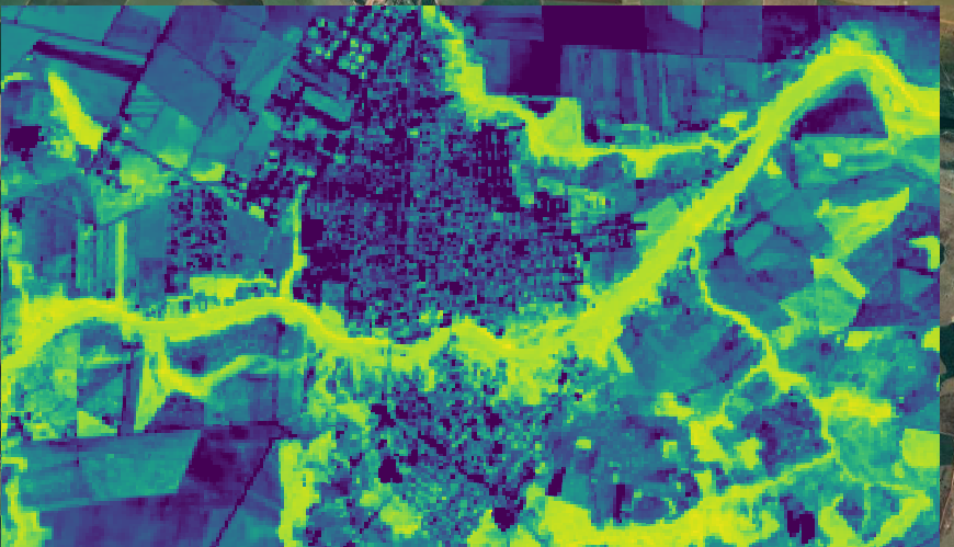
This is a remote sensing image of an orchard located in Traverse City, Michigan. The purpose of this is to accurately geolocate the orchard so when the time arrives, the farmer has the ease of using a GPS system linked to a harvester to greatly increase productivity and save time, cutting down on the cost of labor and increasing the farmer's profit from the crop. This was particularly fun to do because it impacts not only that farmer, but farmers in Michigan and abroad.
Remote Sensing of Orchard
Plug-ins used
Remote Sensing
tags
GPSRemote Sensing
More by Reese Dresch


You might also like


.jpg&w=3840&q=100)


.svg "Keran Nkongolo")


.png&w=3840&q=100)

Join the community!
We're a place where geospatial professionals showcase their works and discover opportunities.