
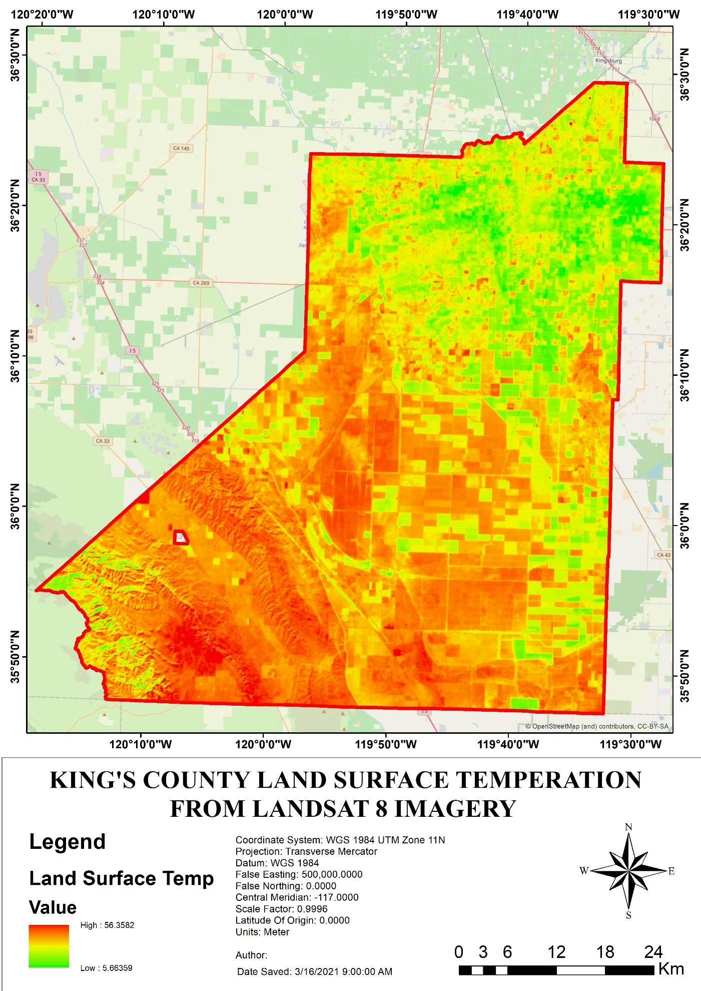
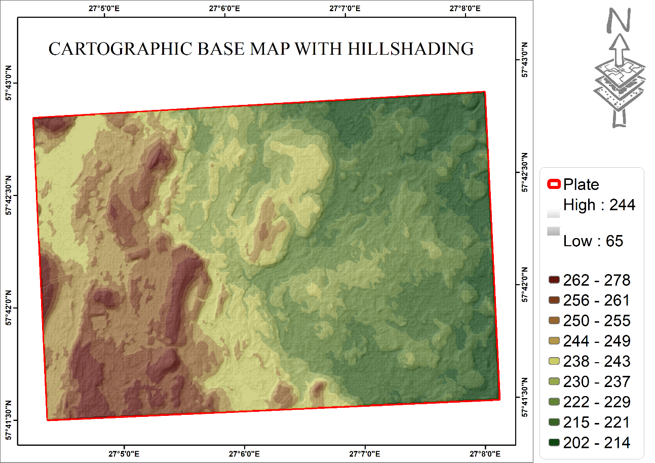
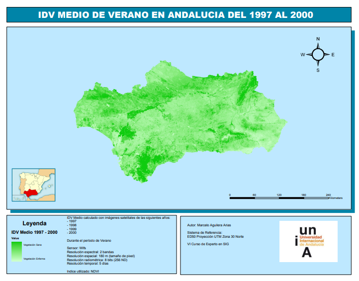
Land Surface temperature map generated from landsat imagery.
Land SURFACE Temperature
Tools used
ArcMap
Plug-ins used
ArcMap
More by Adedoyin Ajeyomi
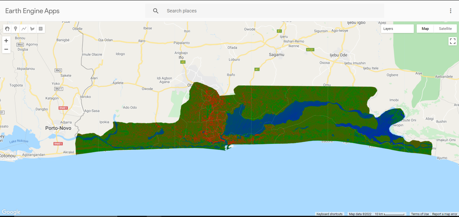
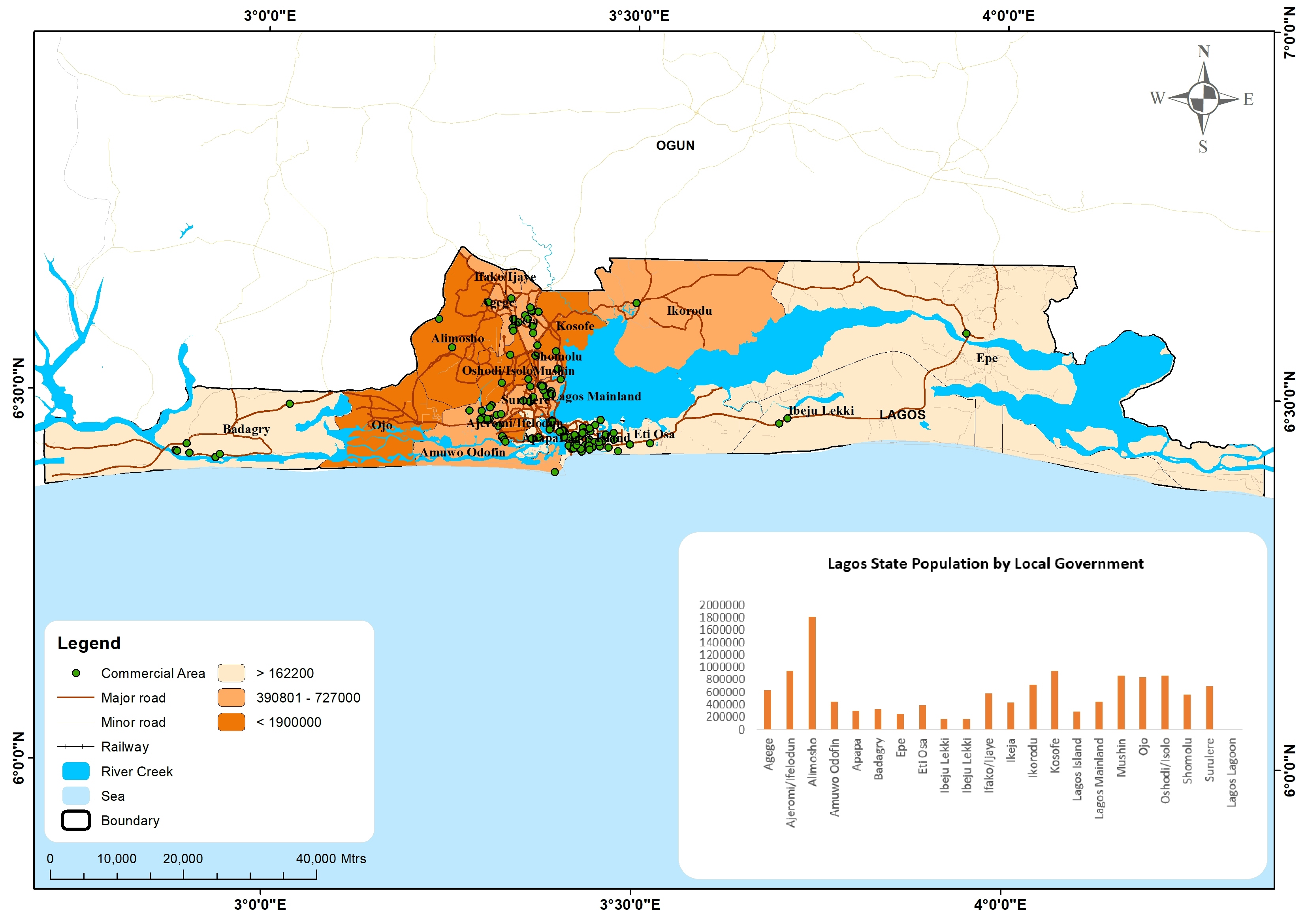
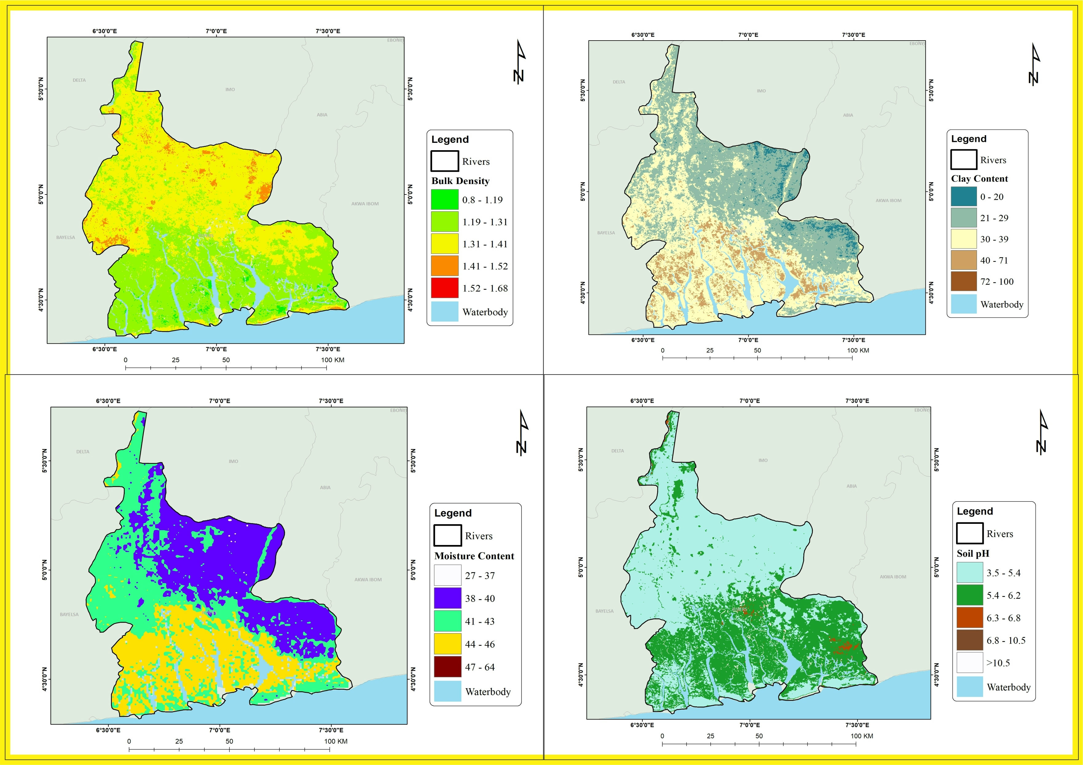

You might also like
.gif&w=3840&q=100)


.svg "Boti Vegh")


Join the community!
We're a place where geospatial professionals showcase their works and discover opportunities.