

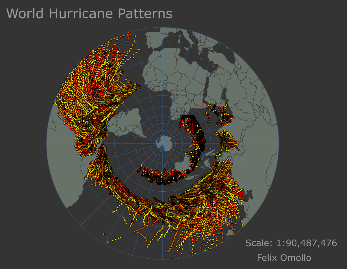
This 3D map of Naperville showcases the city's topographical features, such as buildings and water bodies, in stunning detail. The map also highlights key landmarks, parks, and public spaces, which make the city attractive. The map was created using advanced GIS technologies, including 3D modeling, data visualization, and geospatial analysis, which provide a comprehensive view of the city's urban landscape. This 3D map of Naperville offers a fascinating insight into the city's geography and infrastructure, serving as a valuable resource for anyone interested in exploring or studying the area.
3D Map of Naperville
Tools used
ArcGIS Pro
Plug-ins used
2D/3D Scenes3d3D AnalystArcScene
tags
3D Analysis3d mapArcScene
More by FELIX OMOLLO


You might also like


Join the community!
We're a place where geospatial professionals showcase their works and discover opportunities.