
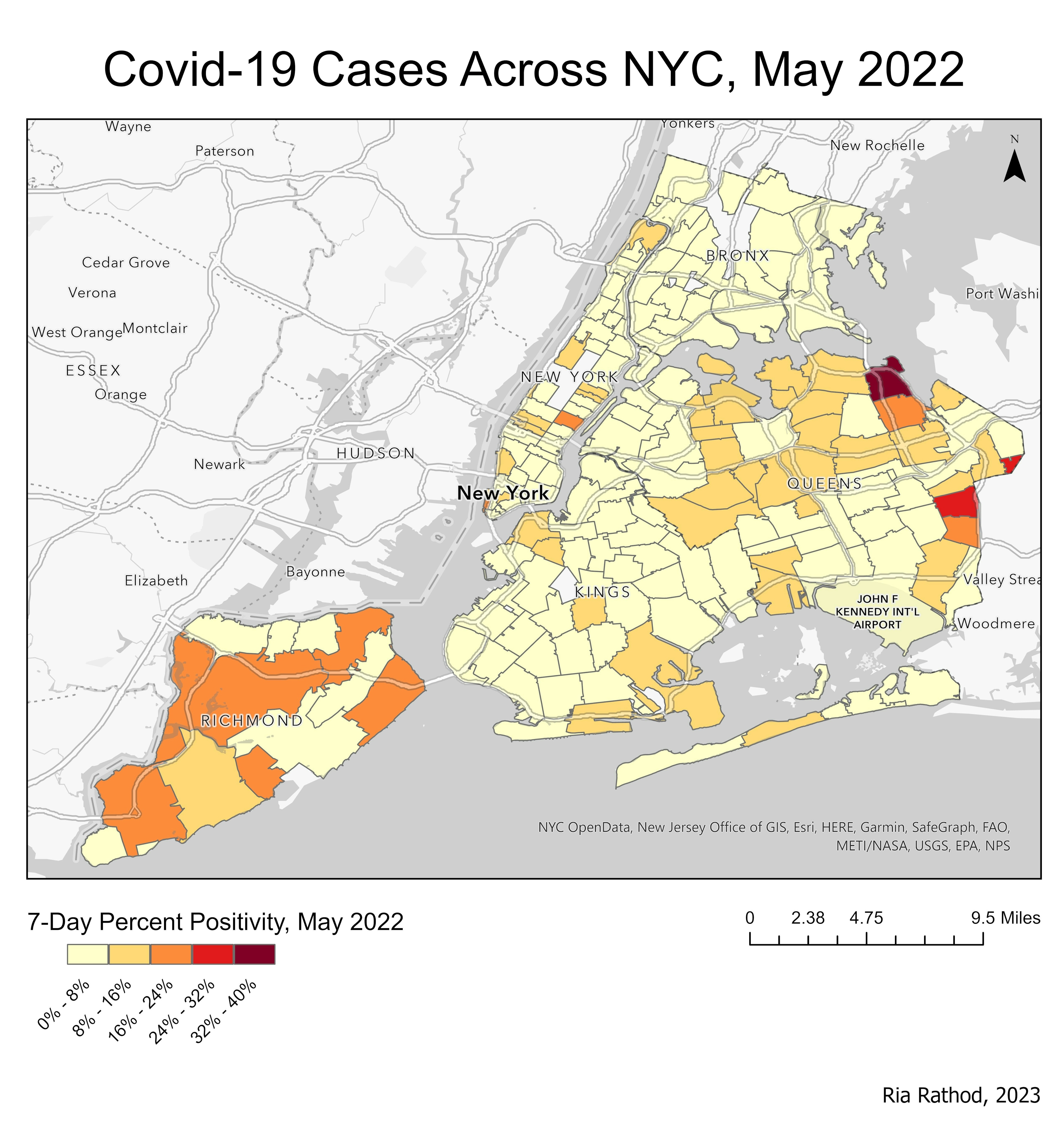
This personal project used ArcGIS Pro to map positive COVID-19 cases across New York City using data from May 2022. I downloaded NYC Area polygon data and COVID-19 point data and applied a spatial join to show percent positivity of the last 7 days of the data.
COVID-19 Cases Across NYC, May 2022
Plug-ins used
N/A
tags
PUBLIC Health Spatial Join
More by Ria Rathod

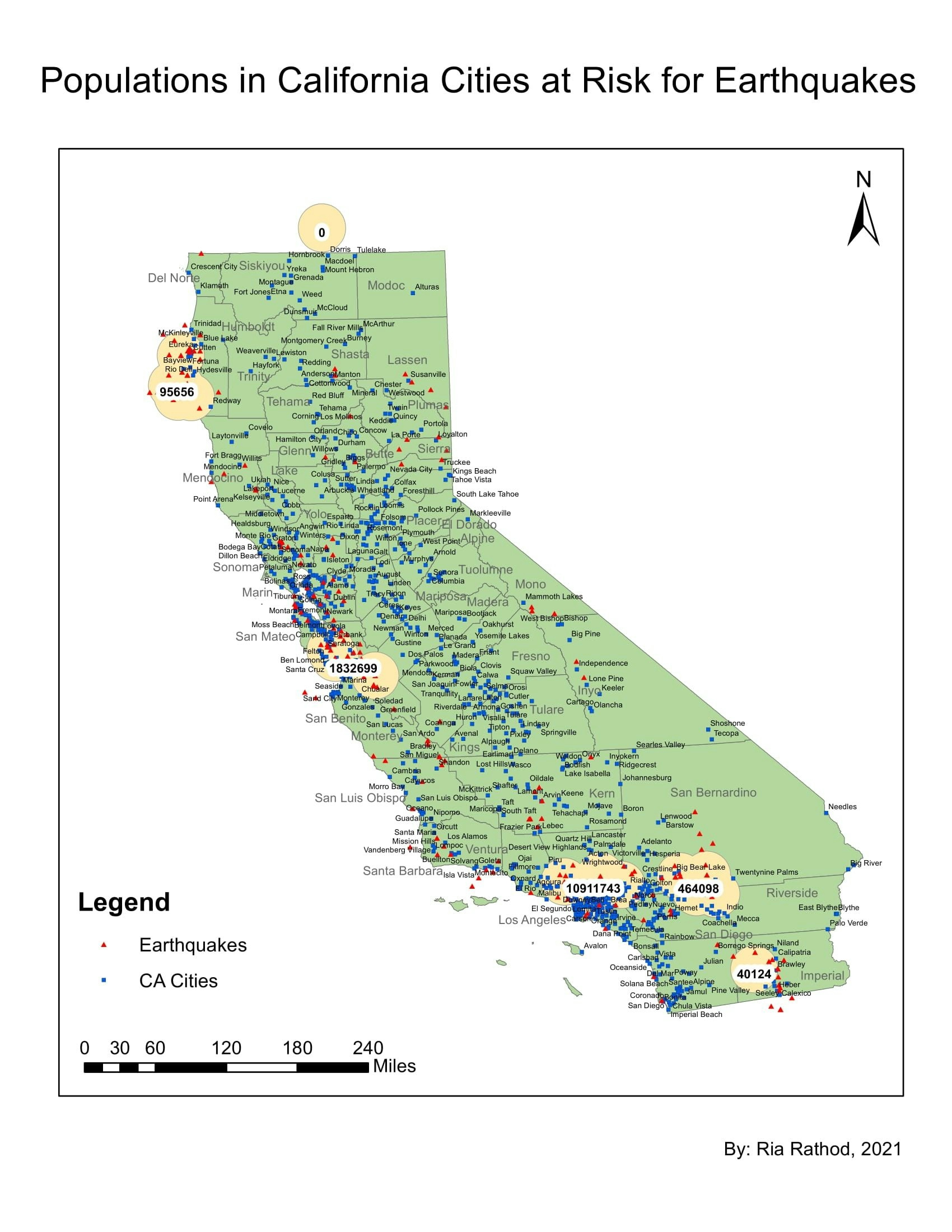
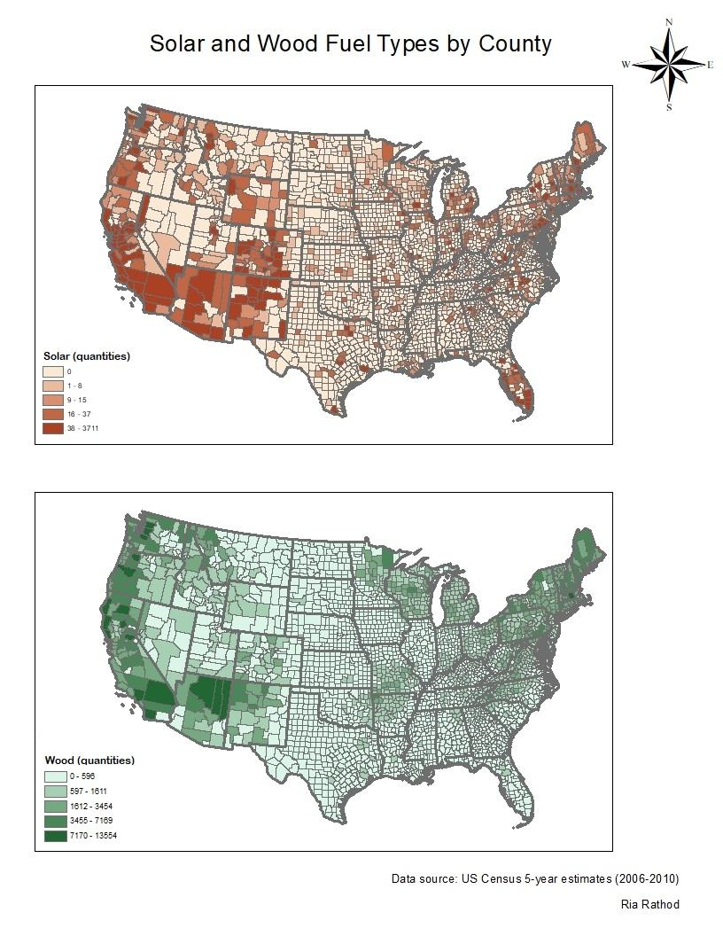
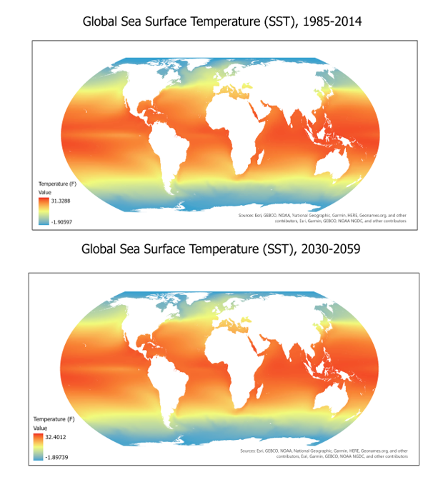
You might also like

.jpeg&w=3840&q=100)


Join the community!
We're a place where geospatial professionals showcase their works and discover opportunities.