
The summer of 2025 I rode my bicycle from my graduation in Williamsburg Virginia 5,200 miles to Astoria, Oregon. As I went further west I was amazed how much easier it was to find places to camp for free. Inspired by this I wanted to make a map showing the percentage of each county that is covered by federal lands. The results are unsurprising but I thought it made a pretty map nonetheless.
Federal Land by County
tags
County MapPublic Lands
More by Max Knight


You might also like


.png&w=3840&q=100)


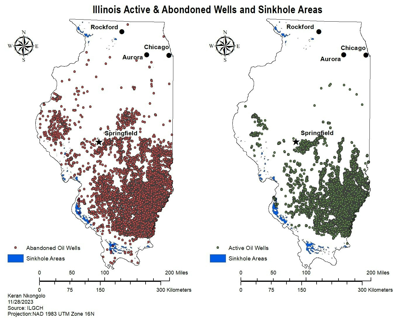
.svg "Keran Nkongolo")
Join the community!
We're a place where geospatial professionals showcase their works and discover opportunities.