
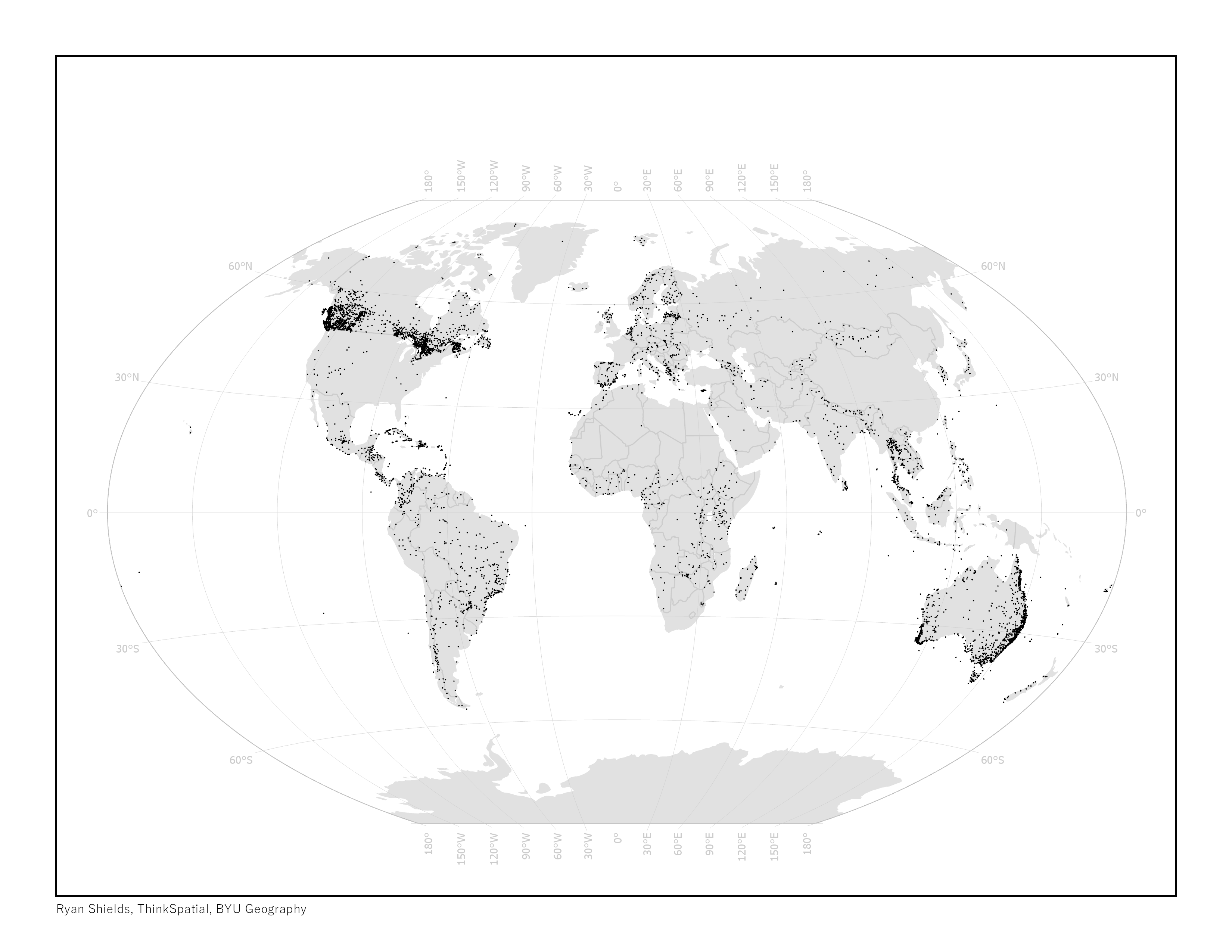
- Queried and visualized the WDPA to show the distribution of IUCN Category II protected areas across the globe.
- Created as part of curriculum for a Global Conservation Designations course at the Brigham Young University Geography Department
- Specifically used to highlight differences between Category II protected areas in the United States vs other countries with higher concentrations
Global National Park Concentration
Tools used
ArcMapWorld Database on Protected Areas
Plug-ins used
ArcMap
tags
ArcMapWorld Database on Protected Areas
More by Ryan Shields


You might also like


Join the community!
We're a place where geospatial professionals showcase their works and discover opportunities.