Sign up or log in to your Spatialnode account.

Takes less than a few seconds.

Barbados Ocean Depth Zones

Ryan Shields
Ryan Shields•

March 06, 2023

Barbados Ocean Depth Zones

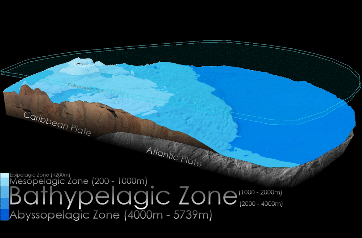
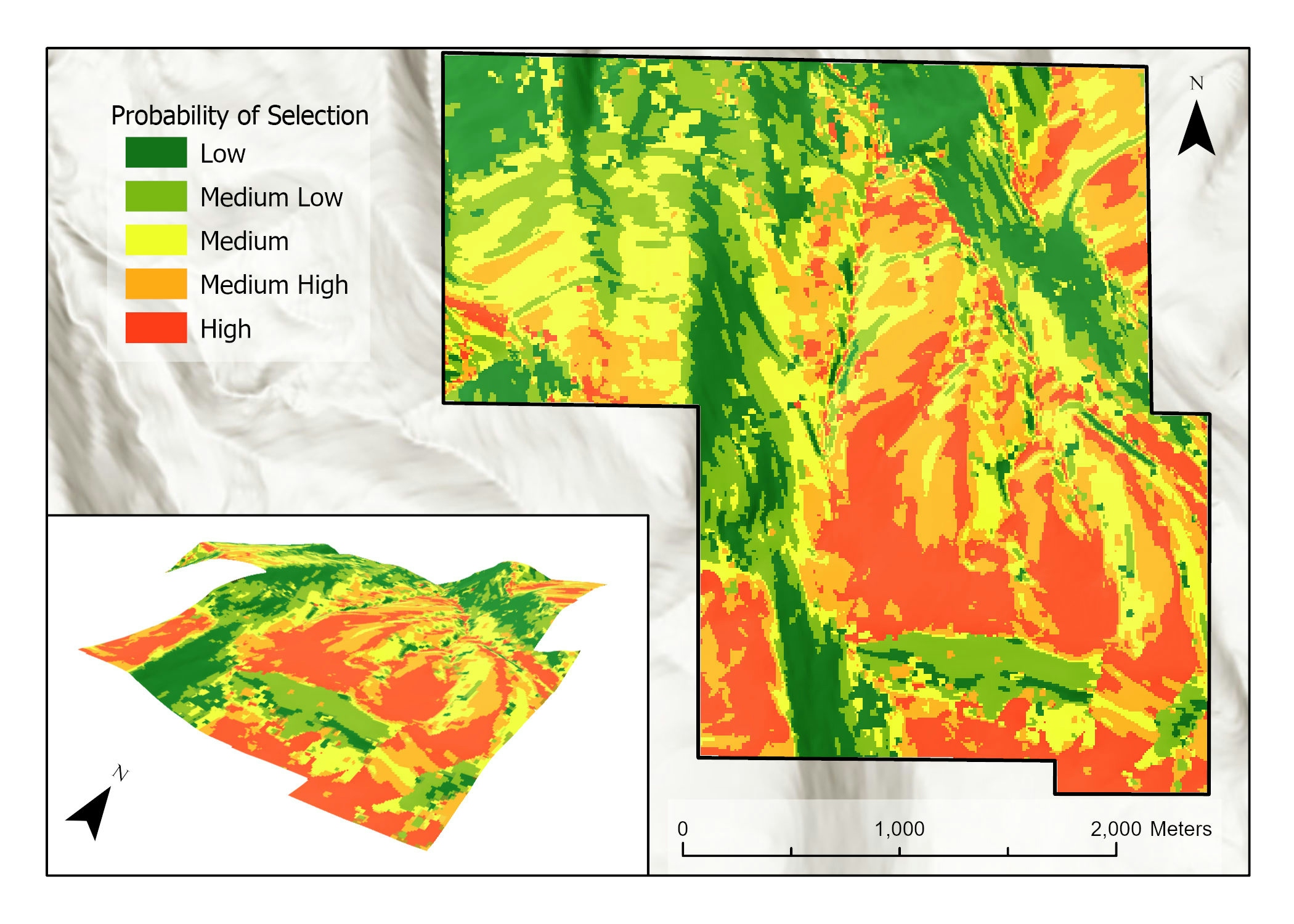
3D surface generated from a 90m digital bathymetry model produced by TCarta. Design done in ArcGIS Pro. Animation in Adobe After Effects.


Tools used

After EffectsArcGIS Pro

Plug-ins used

3D Analyst

tags

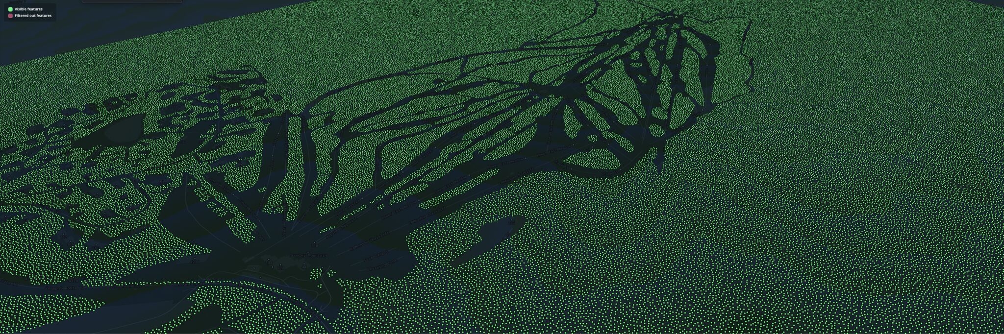
animationbathymetryocean

More by Ryan Shields

3D Forested Ski Resort
26
Global National Park Concentration
106
Pakistan Terror Attacks 2001 - 2007
58
Terror Attacks in Afghanistan 2001-2017
154
Predicting Sheep Resource Selection
64

You might also like

Análise da área influência do Fastfood
Luan Tomaz
Análise da área influência do Fastfood
Luan Tomaz
388
EO with Indices and Raster Functions
Zach Torres
EO with Indices and Raster Functions
Zach Torres
104
Floodplain in Adamawa State
Ireoluwa Orodiji
Floodplain in Adamawa State
Ireoluwa Orodiji
19
Estimating Canopy Height from LiDAR
Joe Pitti
Estimating Canopy Height from LiDAR
Joe Pitti
10
Classify Mangroves using Deep Learning
Akshar Patel
Classify Mangroves using Deep Learning
Akshar Patel
23
Localização CMEI e renda responsáveis
Ana Carolina Vizintim
Localização CMEI e renda responsáveis
Ana Carolina Vizintim
29
Comparação entre áreas alagadas
Daniel Conceição do Nascimento
Comparação entre áreas alagadas
Daniel Conceição...
33
Mapa de Localização Município do Cazenga
Raduel Fernando da Fonseca
Mapa de Localização Município do Cazenga
Raduel Fernando...
862
 Geospatial Data Management Integration
Peter Kimani
Geospatial Data Management Integration
Peter Kimani
11
Map a Month: July
Cari Lynn Squibb
Map a Month: July
Cari Lynn Squibb
9
Densidade Demográfica
João Alison Dionísio Mendonça
Densidade Demográfica
João Alison...
12
Dodoma Region Elevation map
Hashimu Misanya
Dodoma Region Elevation map
Hashimu Misanya
85

Join the community!

We're a place where geospatial professionals showcase their works and discover opportunities.

Sign Up for free