
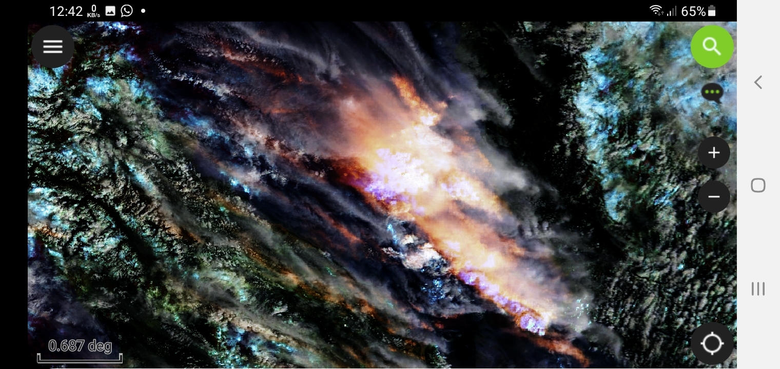
Can Be Found In INPUT apk Under the Name of (NASA)
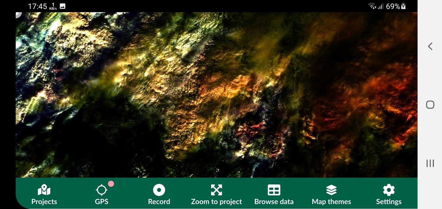
Other projects exist related to (LANDSAT)(EUMETSAT)
Modis-Terra With Sentinel3 Satellite
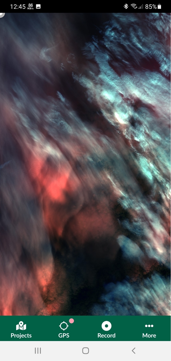
Can Be Found In INPUT apk Under the Name of (NASA)
Other projects exist related to (LANDSAT)(EUMETSAT)
More by Karion Mohamad
You might also like
We're a place where geospatial professionals showcase their works and discover opportunities.


.svg "Keran Nkongolo")