Sign up or log in to your Spatialnode account.

Takes less than a few seconds.

LANDSAT8 SATELLITE MOST RECENT IMAGERY.

Karion Mohamad
Karion Mohamad•

January 15, 2022

LANDSAT8 SATELLITE MOST RECENT IMAGERY.

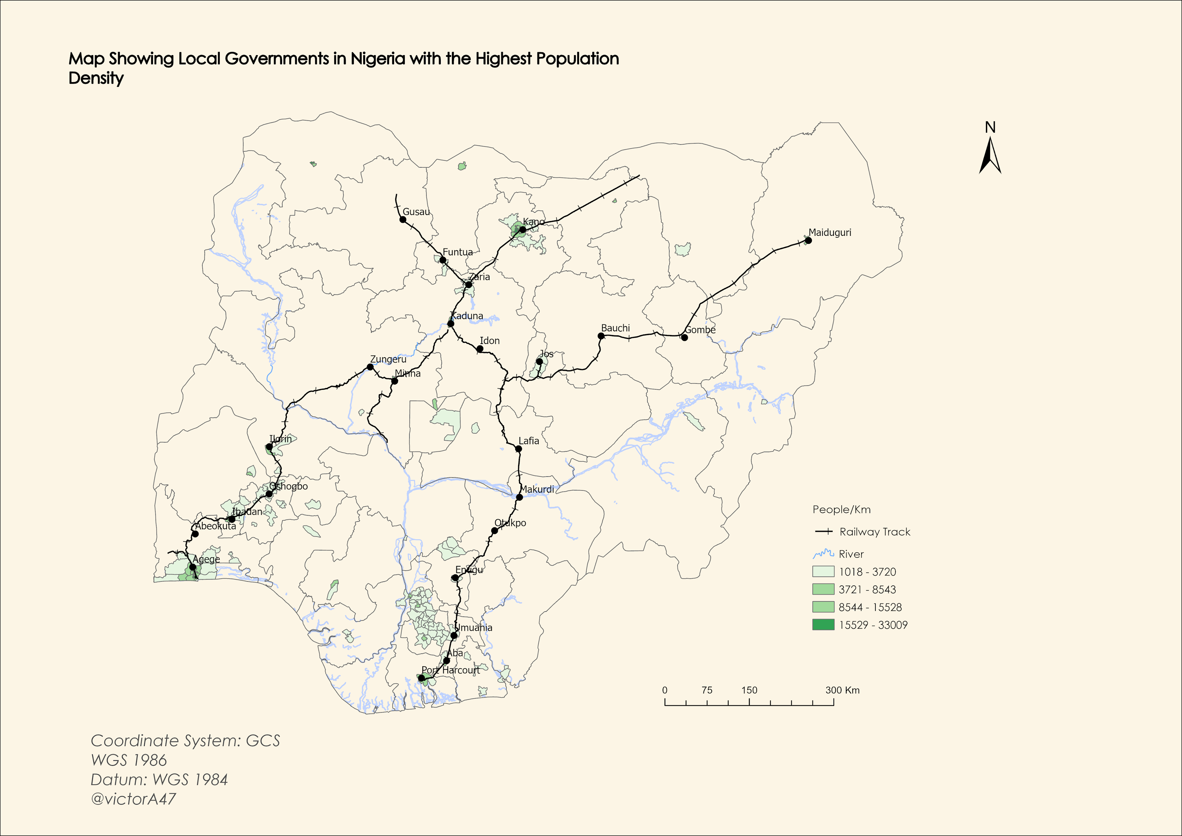
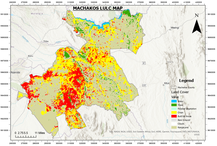
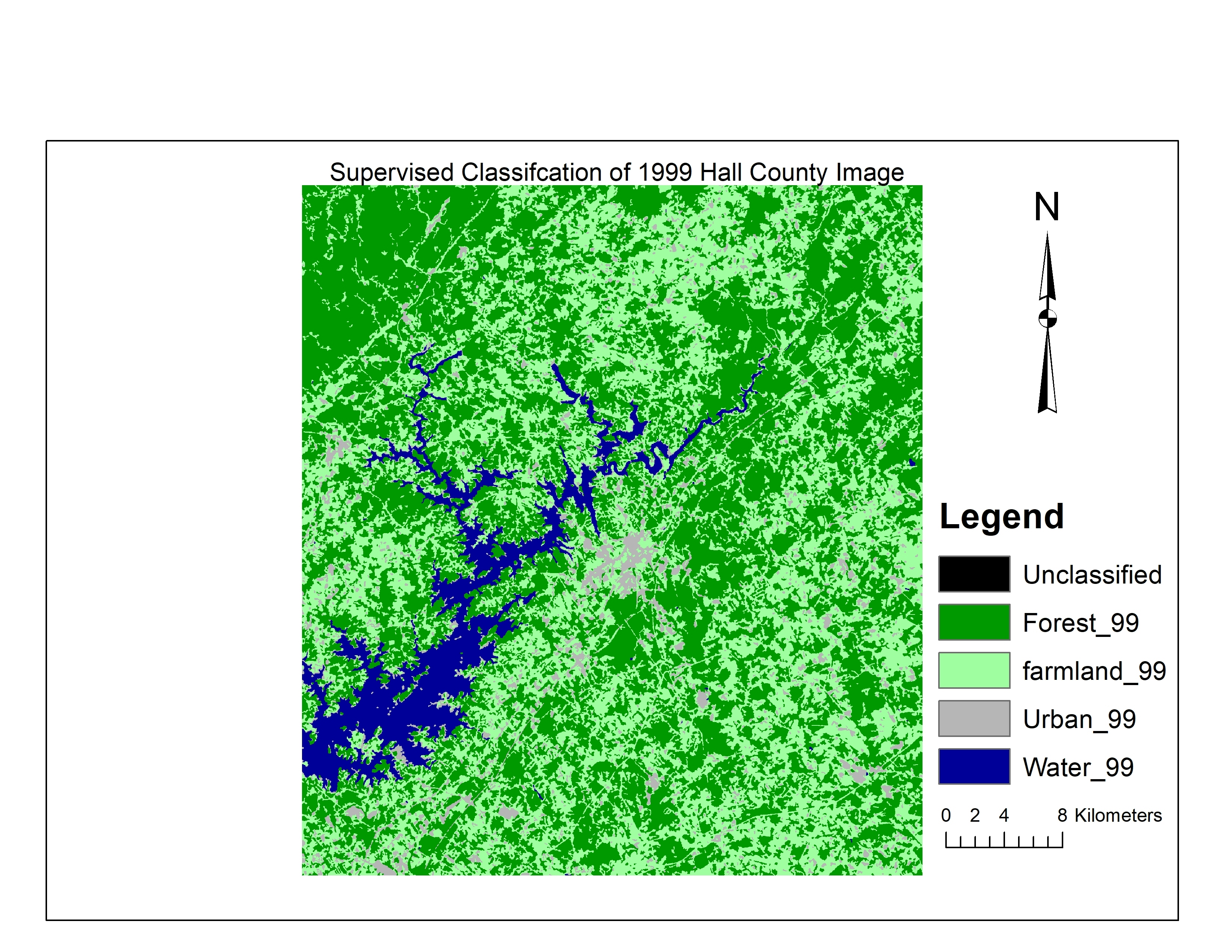
Project Can Be Found On INPUT apk Under The Name ( LANDSAT8 )
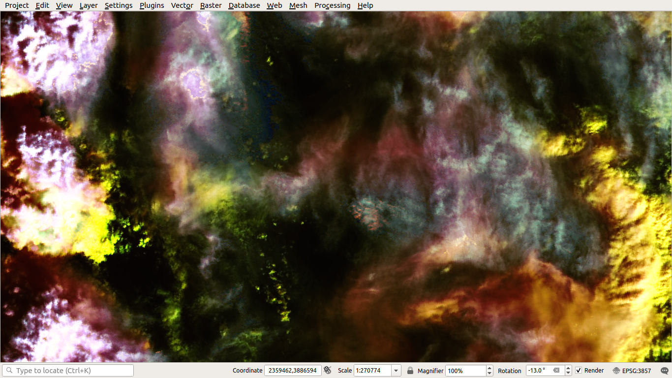
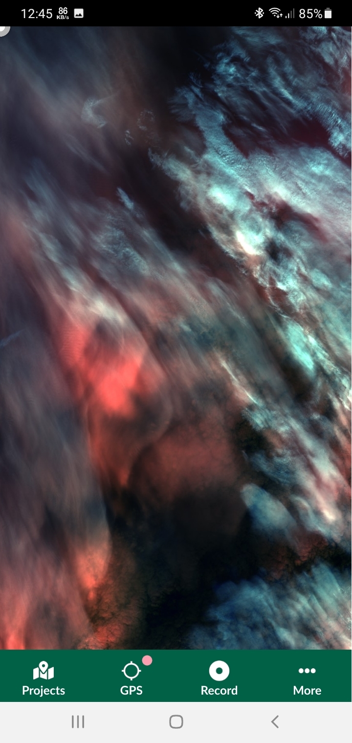
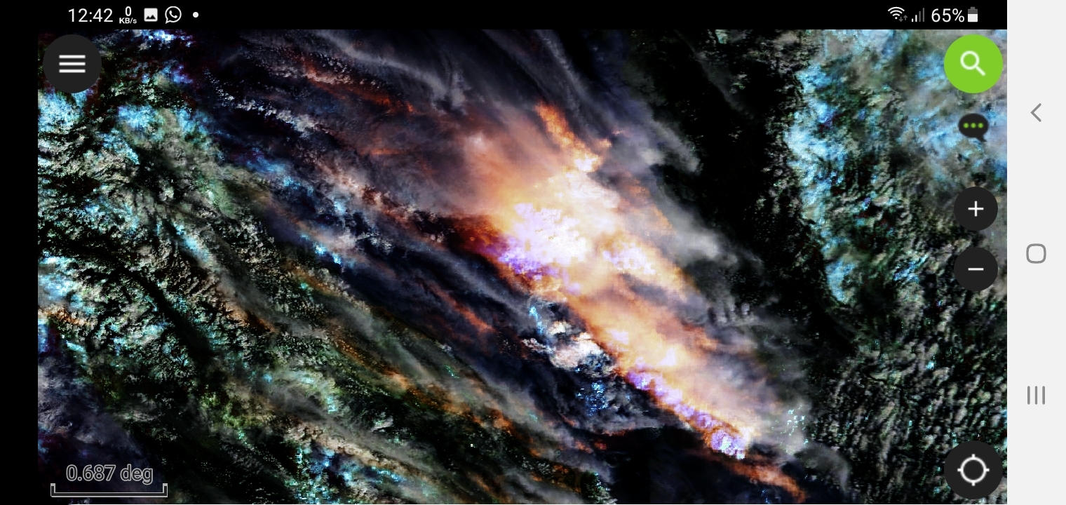
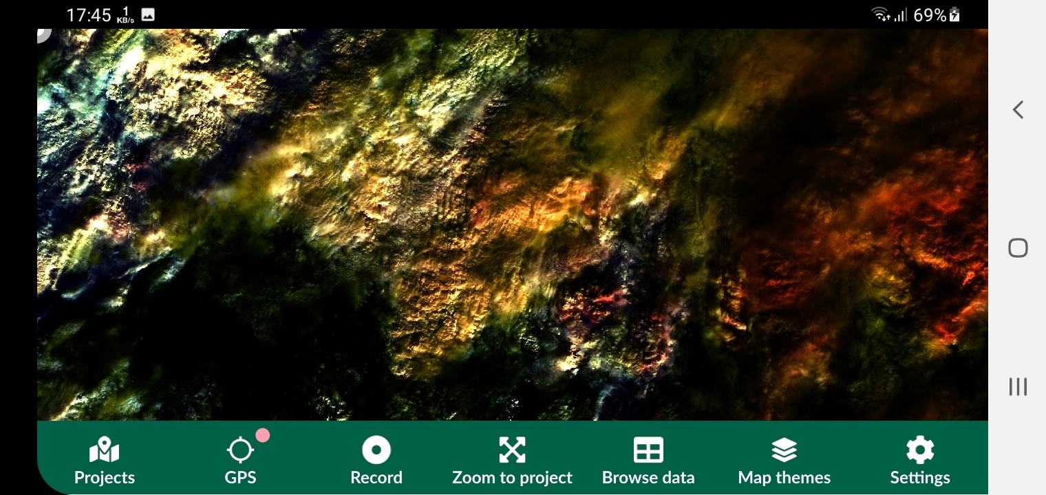


More by Karion Mohamad

Modis-Terra With Sentinel3 Satellite
247
SENTINEL2 Satellite AutoUpdate To Recent
5
LANDSAT8 Latest Imagery Auto Updated
248
EUMETSAT Imagery Updated Every Few Min
257

You might also like

Mapa Hipsométrico
MICHAEL LUCAS DA SILVA SA
Mapa Hipsométrico
MICHAEL LUCAS...
16
Bridger Lakes Features - Wyoming
Nick Linell
Bridger Lakes Features - Wyoming
Nick LinellPro
2
Levantamento topográfico
Antonio Carlos Costa Linhares
Levantamento topográfico
Antonio Carlos...
6
Uso e cobertura da terra na área propost
Gustavo Soares Arrial
Uso e cobertura da terra na área propost
Gustavo Soares Arrial
13
Geographic Network Monitoring System
Emmanuel Oyerinde
Geographic Network Monitoring System
Emmanuel Oyerinde
773
Pakistan Terror Attacks 2001 - 2007
Ryan Shields
Pakistan Terror Attacks 2001 - 2007
Ryan Shields
58
Puerto Princesa Bay Harbor Chart
Alvin M. Natividad
Puerto Princesa Bay Harbor Chart
Alvin M. Natividad
82
MUNICÍPIO DE TERRA RICA-PR (HIPSOMETRIA)
Itamar Sateles de Sá
MUNICÍPIO DE TERRA RICA-PR (HIPSOMETRIA)
Itamar Sateles...
243
Mapa de localização de estudos - Revisão
João Gabriel Feriato do Nascimento
Mapa de localização de estudos - Revisão
João Gabriel...
6
Population Density Map of Arkansas
Martin Nuñez Igarzabal
Population Density Map of Arkansas
Martin Nuñez Igarzabal
55
1985 - 2020 NDBI Change in Las Vegas
Christina Nedo
1985 - 2020 NDBI Change in Las Vegas
Christina Nedo
9
Mapa de Declividade
Luiz Prado
Mapa de Declividade
Luiz Prado
8

Join the community!

We're a place where geospatial professionals showcase their works and discover opportunities.

Sign Up for free