Sign up or log in to your Spatialnode account.

Takes less than a few seconds.

NDVI Time Series Visualization

Ananda Rianti Dewi
Ananda Rianti Dewi•

July 20, 2022

NDVI Time Series Visualization

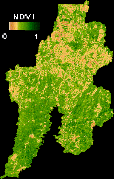
Normalized Difference Vegetation Index (NDVI) Time Series Visualization in Bekasi City, Indonesia.


More by Ananda Rianti Dewi

Land Cover Maps
Land Cover Maps
15
Land Surface Temperature Map
55
Industrial Area Potential
7
Mangrove Vegetation Health Index
16

You might also like

Social Vulnerability in Disaster Areas
Derek R Schiavone
Social Vulnerability in Disaster Areas
Derek R Schiavone
71
Shingletown Lidar Viewer
Naomi Yates
Shingletown Lidar Viewer
Naomi Yates
364
Georeferencing antique geological map.
Miriela Ulloa Santana
Georeferencing antique geological map.
Miriela Ulloa Santana
70
Fire Station Response Time
Niroj Shrestha
Fire Station Response Time
Niroj Shrestha
41
Mapping of cities and air polution
Ani Pearn
Mapping of cities and air polution
Ani Pearn
14
The Connecticut River Watershed
Konstantinos Gouzias
The Connecticut River Watershed
Konstantinos Gouzias
20
MAPA MULTIESCALAR DE LOCALIZAÇÃO UIRAÚNA
Jonatha Iuri
MAPA MULTIESCALAR DE LOCALIZAÇÃO UIRAÚNA
Jonatha Iuri
97
Análise Temporal NDVI - Porto Acre (AC)
Paulo Vitor Moraes Estella
Análise Temporal NDVI - Porto Acre (AC)
Paulo Vitor...
13
Declividade da Cidade Universitária
Raduel Fernando da Fonseca
Declividade da Cidade Universitária
Raduel Fernando...
24
Emerald Ash Borer Risk Blue Earth County
Nick Linell
Emerald Ash Borer Risk Blue Earth County
Nick LinellPro
13
MAPA DE IDENTIFICAÇÃO DE INCÊNDIO
Breno Nunes
MAPA DE IDENTIFICAÇÃO DE INCÊNDIO
Breno Nunes
539
Densidade demográfica - Baixadas
Maria Gabriela Menegussi
Densidade demográfica - Baixadas
Maria Gabriela Menegussi
9

Join the community!

We're a place where geospatial professionals showcase their works and discover opportunities.

Sign Up for free