I wanted to create a map of Molokini Crater in Maui but I couldn't find any DEM. I used photogrammetry derived from a Youtube to create a georeferenceable elevation model. You can read about my process in detail here.
Summary process:
Download Youtube video (https://www.youtube.com/watch?v=NiBpKIuwq98)
Extract still image from video every second (using GOM Player)
Process still images through Meshroom into a 3D model
Open the resulting mesh in Meshlab and start cleaning. Export as point cloud.
Open point cloud in Cloud Compare to denoise, decimate and align image. Export as raster.
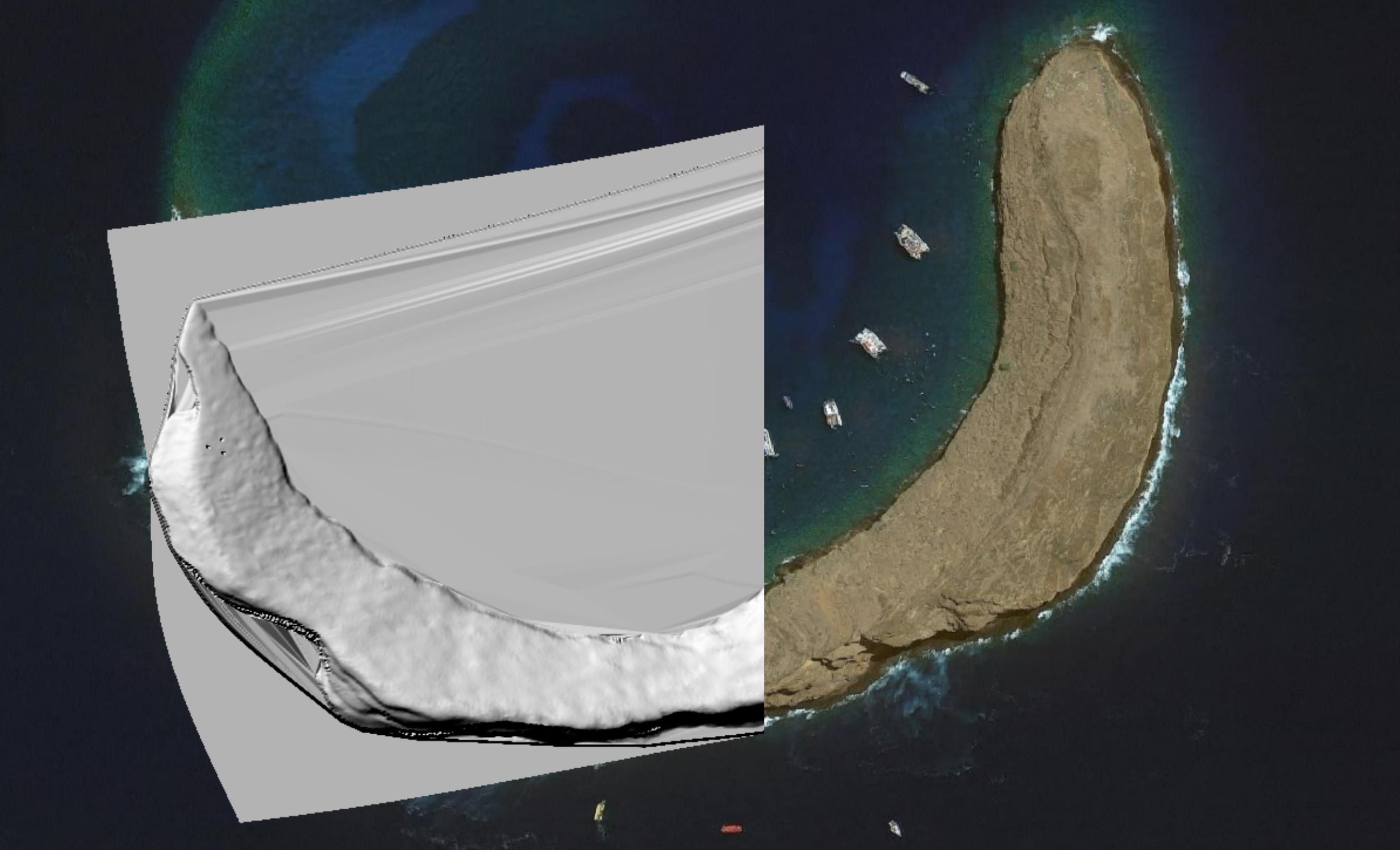
Open raster in QGIS and georeference against satellite imagery to align.
Use raster calculator to rescale raster values to represent known island's surveyed maximum elevation.
This DEM that I created is now the world's most comprehensive (read: only) elevation map of Molokini Crater and is hosted by the National Geodetic Survey. It is their only entirely YouTube-derived dataset.
Voila!