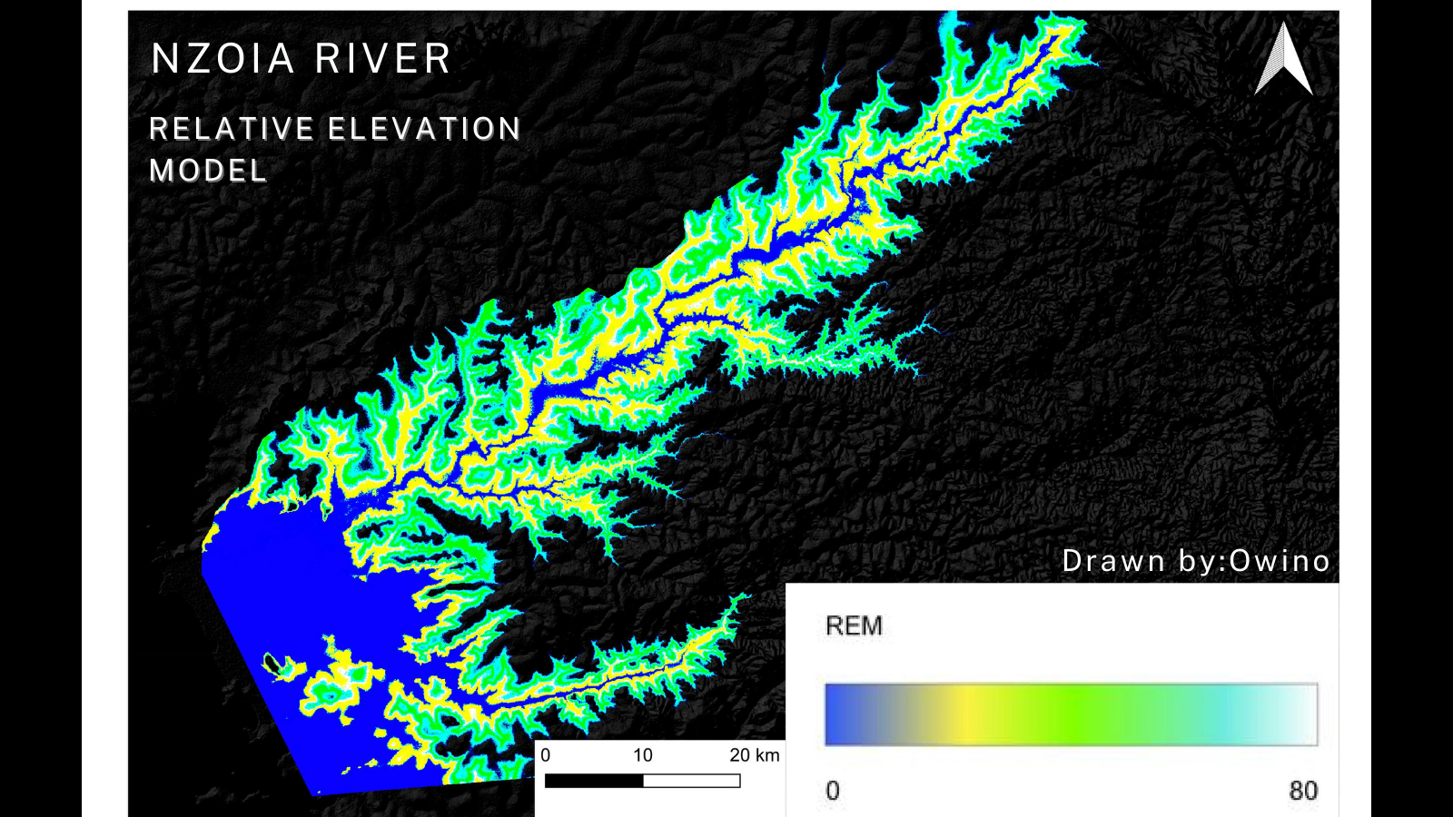
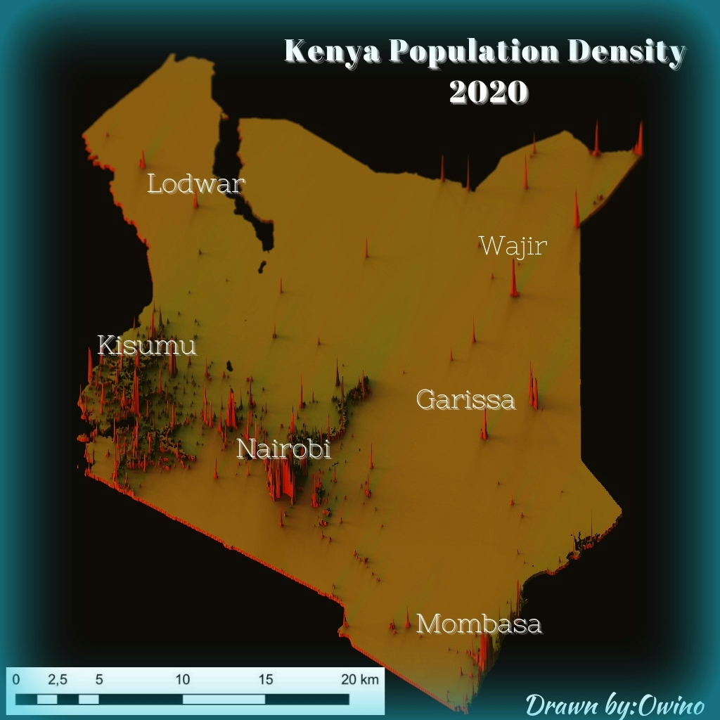
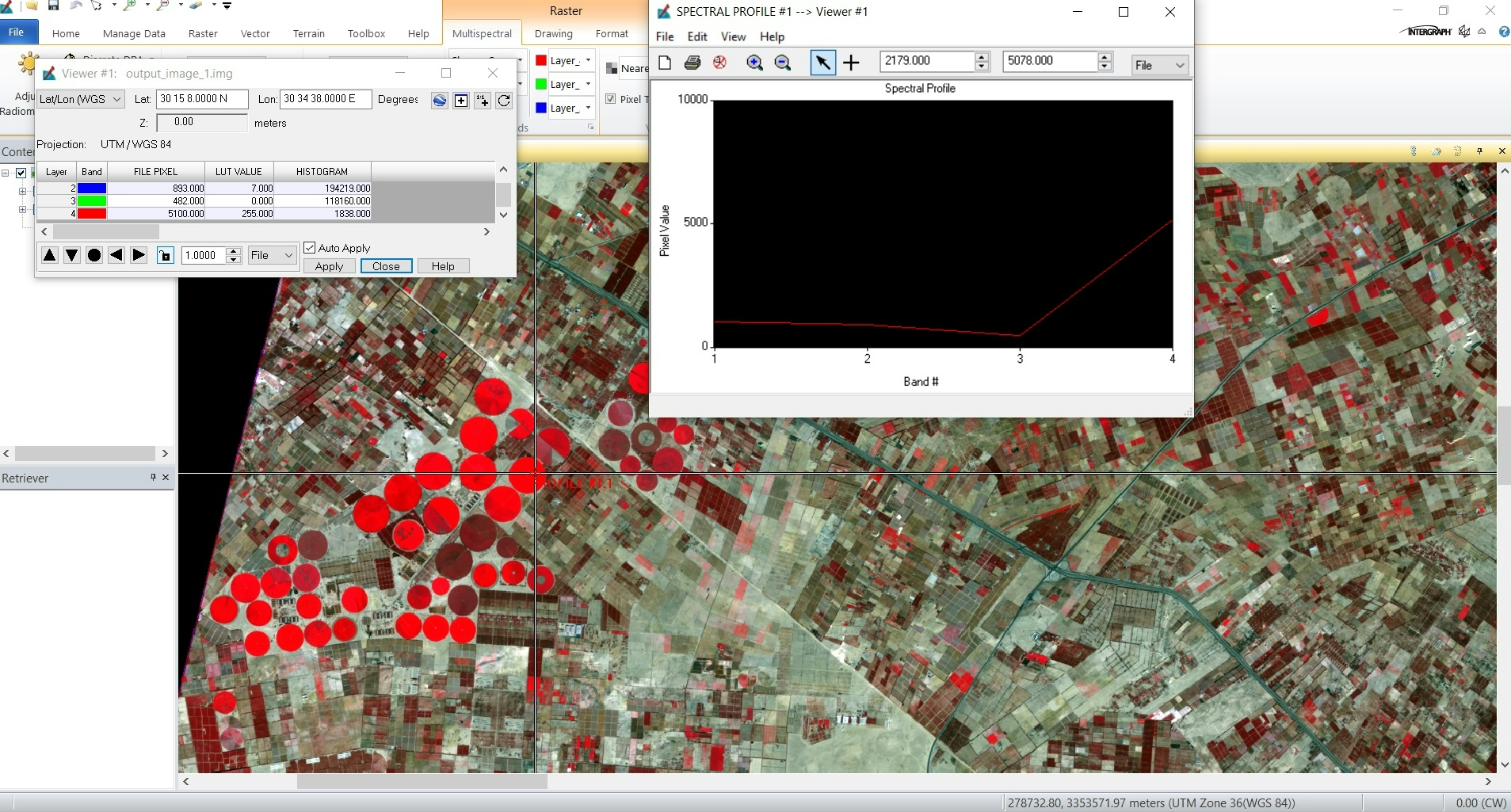
Digital Elevation model
USGS Lidar Explorer data
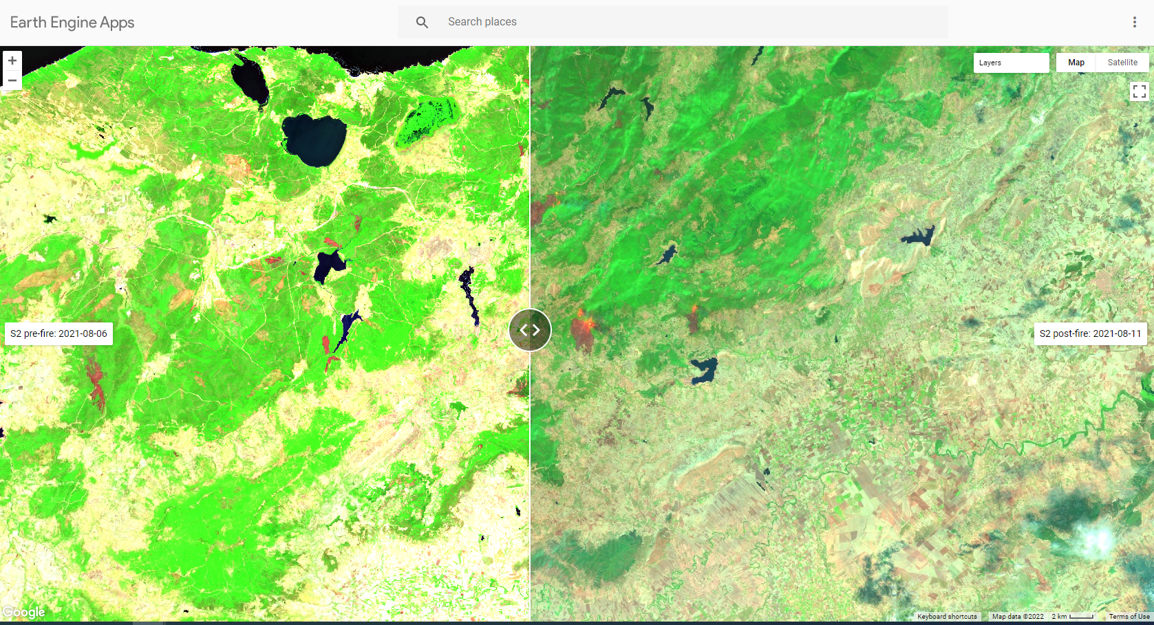
Nzoia River Relative Elevation Model
Digital Elevation model
USGS Lidar Explorer data
More by Atieno Owino
You might also like
We're a place where geospatial professionals showcase their works and discover opportunities.


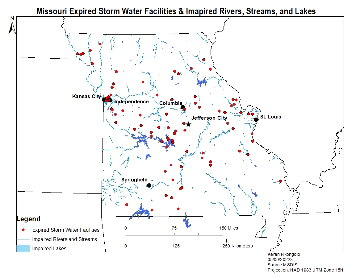
.svg "Keran Nkongolo")