Oil spills have devastating consequences for ecosystems, economies, and societies, necessitating a thorough understanding of their impact for effective mitigation. This study employs diverse techniques to assess the ecological aftermath of oil spills, employing vegetation indices, image analysis, and change detection methods, underscoring the importance of proactive measures.
The primary objective is to comprehensively evaluate oil spill effects through vegetation indices, image categorization, and change detection. This involves gathering detailed data on spill characteristics, such as type, volume, and location, alongside oil properties. Additionally, suitable vegetation indices are harnessed to monitor shifts in vegetation health due to spills, aiding in categorizing vulnerable elements like marine life, coastal ecosystems, water quality, and human settlements.
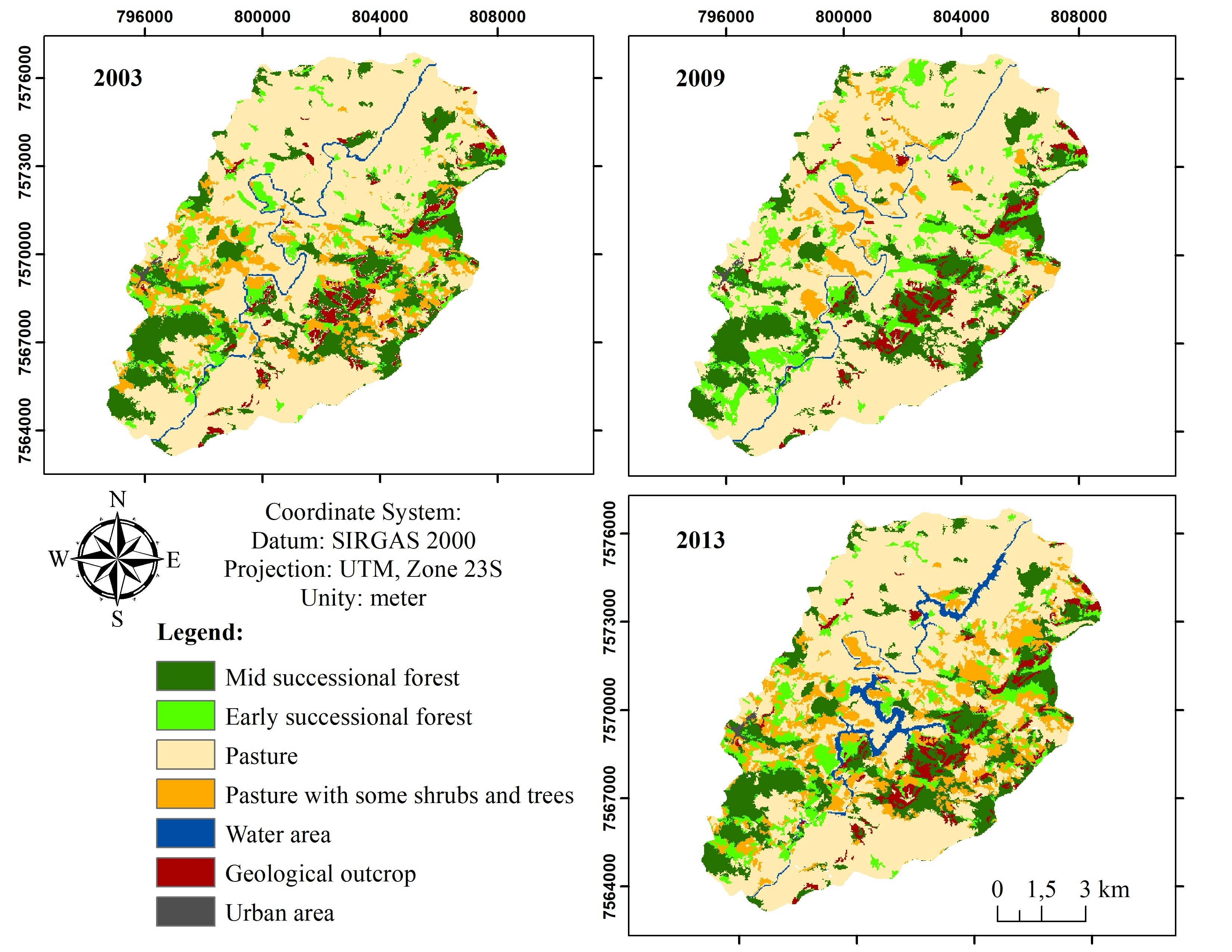
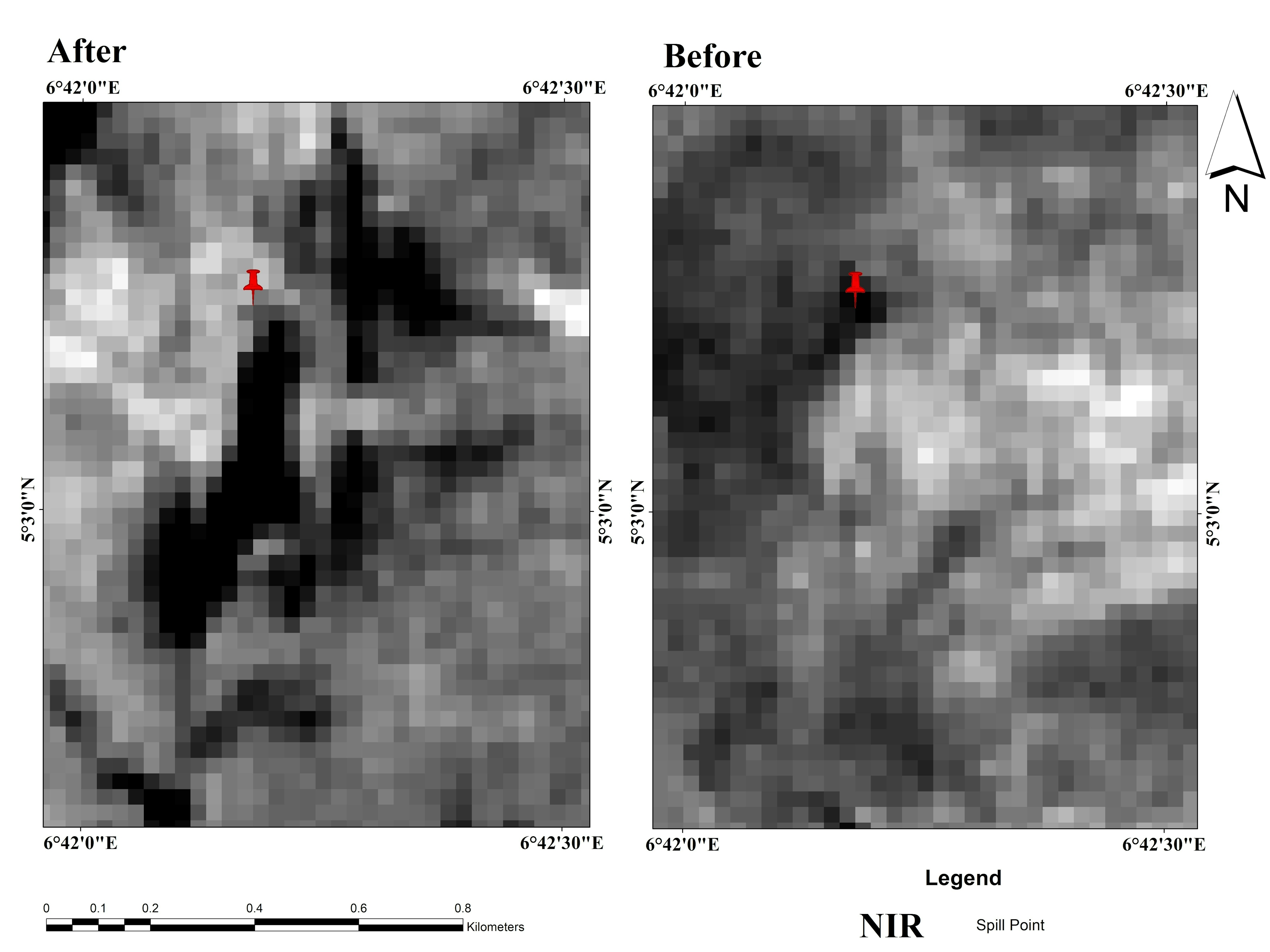
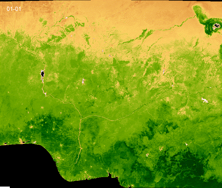
The investigation focuses on a spill site at the 18th ASSA-RUMUEKPE (TRUNKLINE) PIPELINE, Rivers State, Nigeria. Data sources include Landsat 8 satellite imagery before and after the spill, and historical spill records. The chosen vegetation indices—NDVI, SAVI, GLI, NDWI, and MNDVI—unveil variations in plant greenness distribution. Reduced index values post-spill signify compromised vegetation health.
While vegetation indices prove invaluable in identifying environmental disturbances, their interpretation requires careful consideration of fluctuating plant growth patterns. Accurate results demand meticulous data collection, multi-index analysis, and expert validation to differentiate between spill-induced impacts and natural variability. In sum, this study underscores the utility of vegetation indices and associated techniques in delineating oil spill effects, emphasizing the need for a holistic approach to safeguarding ecosystems and societies from such disasters.


_2.jpeg&w=3840&q=100)