

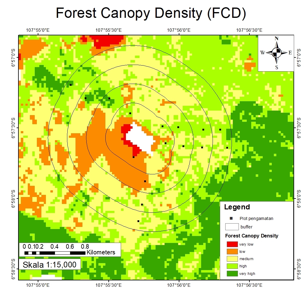
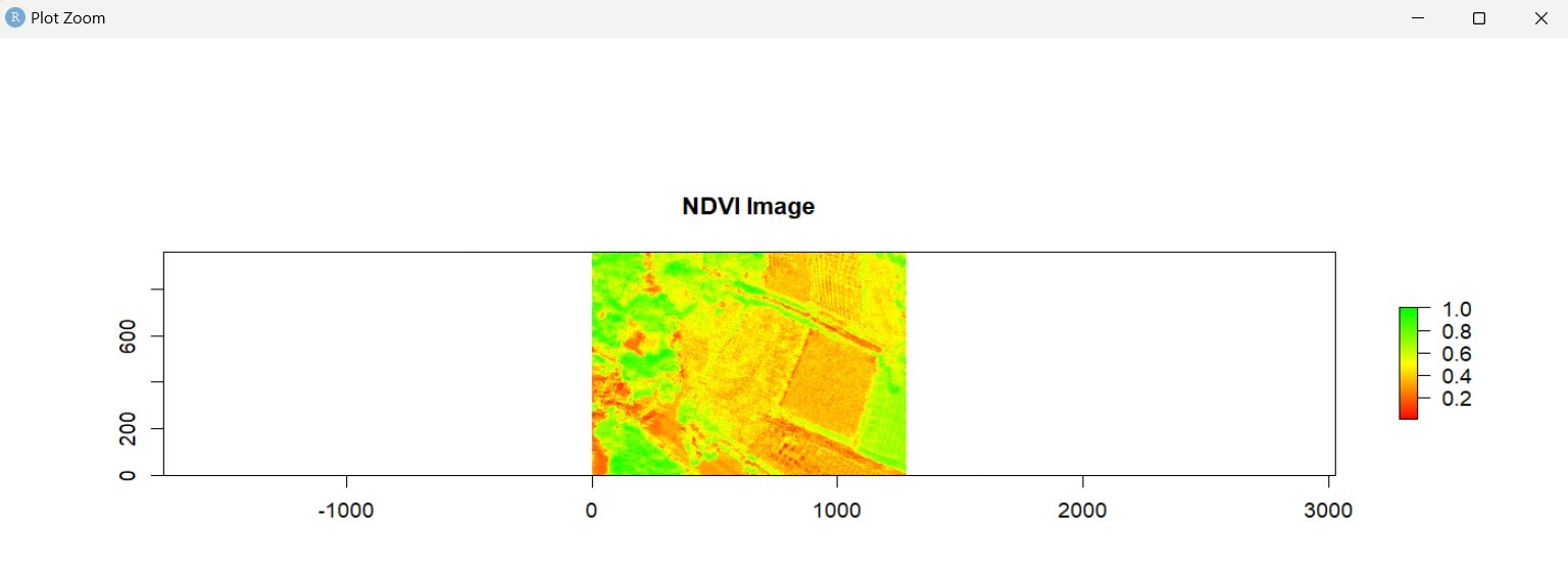
Map making is done using drone data which is processed into DEM, DSM, and DTM. The results are orthophotos and converted in 3D.
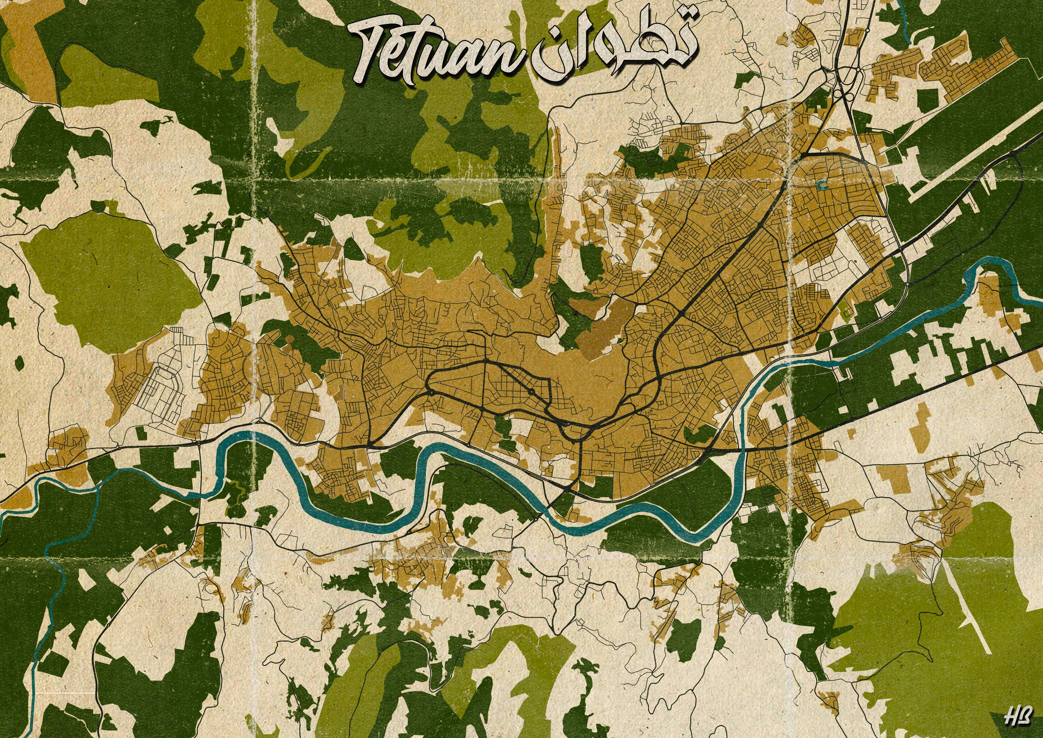
Pakuwon Village 3D Map
Tools used
AgisoftPCI GeomaticaPix4D Mapper
Plug-ins used
drone data
tags
3d mapVillage
More by Ilham Muhammad Shuhada

You might also like


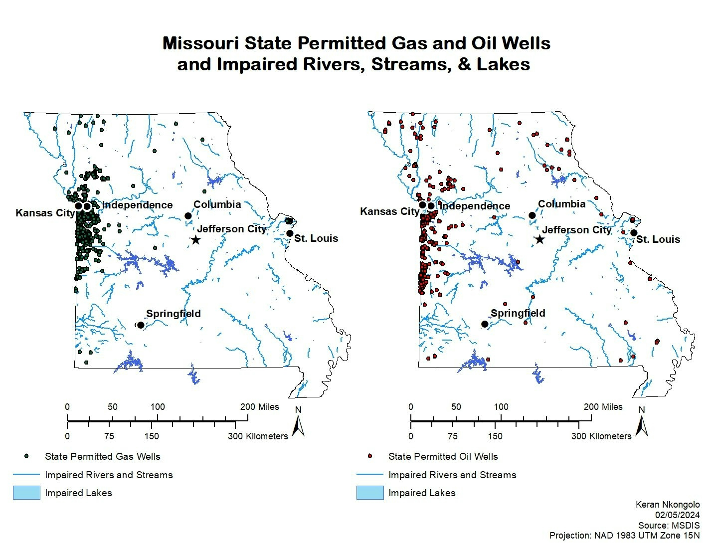
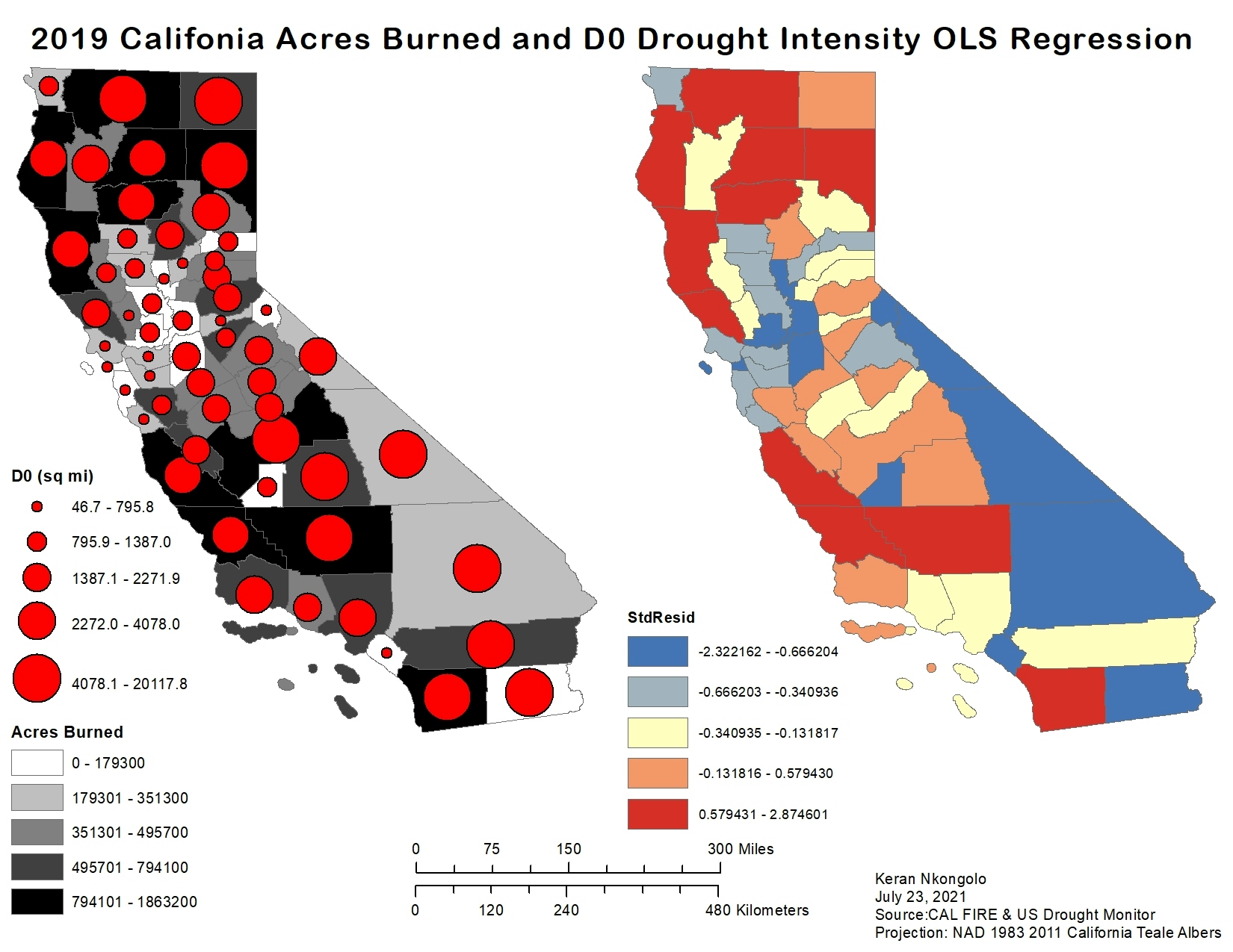
.svg "Keran Nkongolo")


.jpg&w=3840&q=100)


Join the community!
We're a place where geospatial professionals showcase their works and discover opportunities.