
Project to create the Spatial Database Colombia in Postgres + PostGIS
Data was loaded using shape files from DANE with three different methods: SHP2PGSQL; OGR2OGR and QGIS.
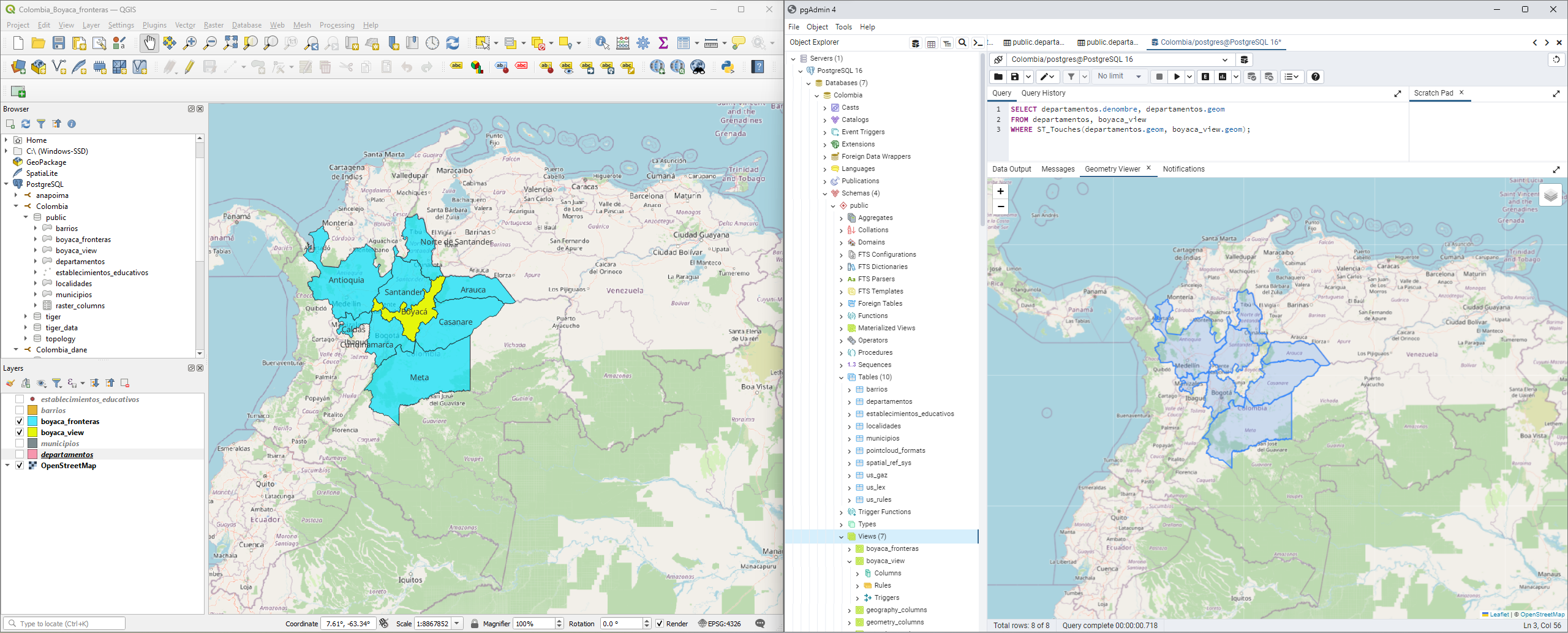
Performed a simple analysis with GIS Functions to select the Departments that share limit with the Boyacá department, and visualized it in PostgreSQL's Geometry viewer.
Additionally, created a connection from QGIS to Postgres, in order to create the same visualization in QGIS by directly being connected to the PostGIS DB.


.svg "Keran Nkongolo")
_SK%2520(1).jpg&w=3840&q=100)


