In this project I used the GDAL library in Python to:
Re-project from the NAD83 to WGS84 or EPSG:4326
Resample the raster file from a resolution of 5m to 500m
Crop the Raster .tif file using an AOI in .shp file
All of these changes were accomplished using the GDAL function gdal.Warp and specific options for each case


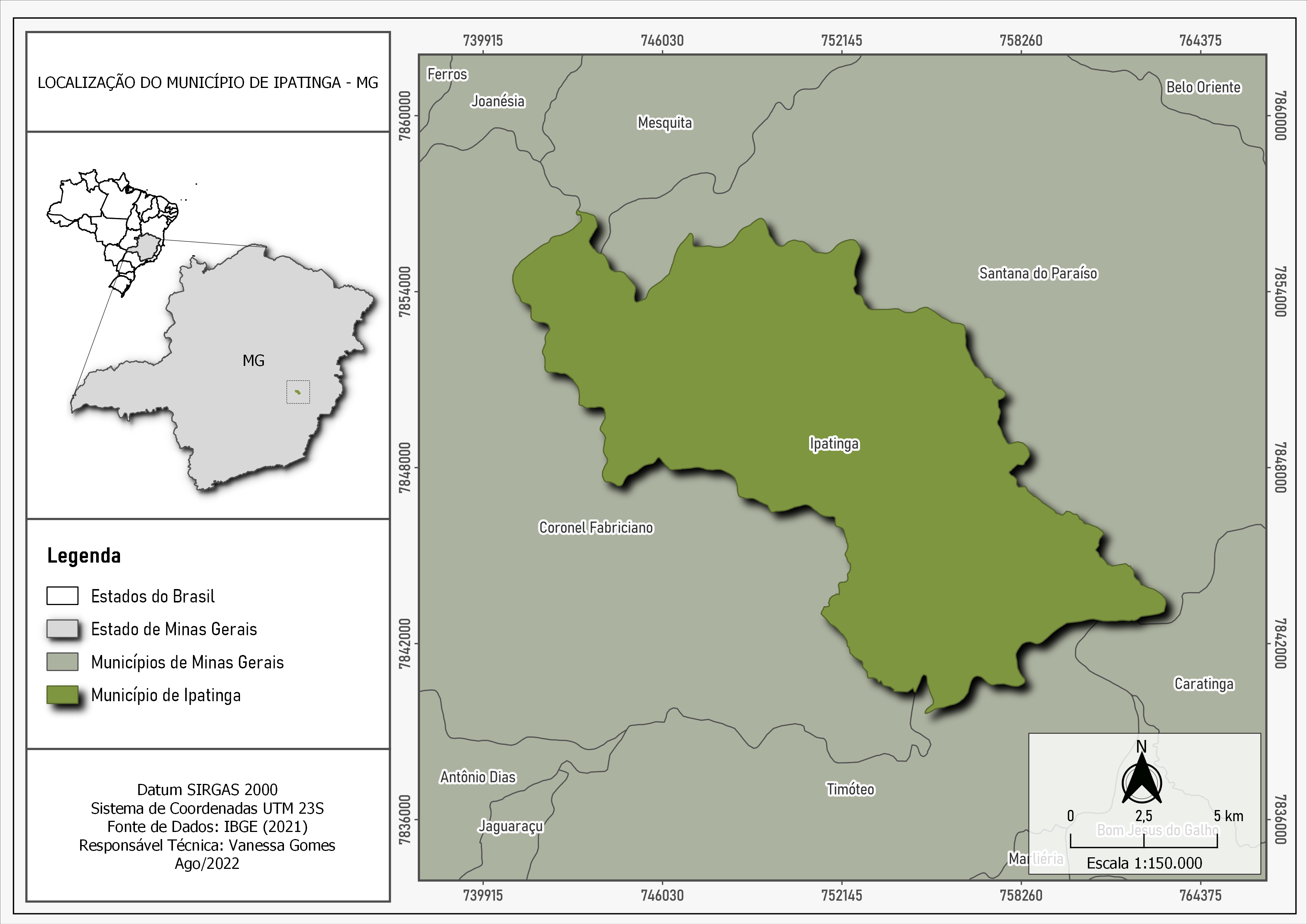
-1.png&w=3840&q=100)