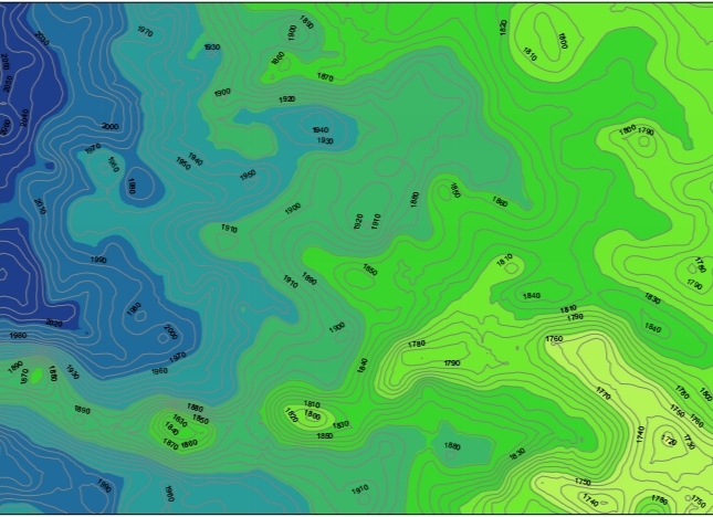
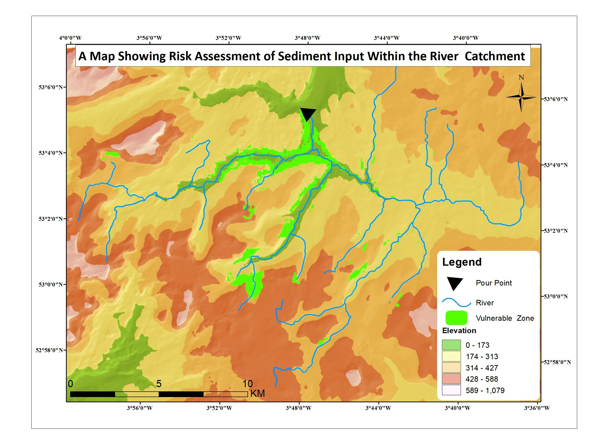
Contour Production

Francis Ndiritu
Francis Ndiritu

January 13, 2023

Contour Production

Contour production

1.using Google earth 

create a path and save it as kml(key hole markup Language)

2using GPS convertor

used to convert the kml file downloaded to GPS and adding elevation .

then download the file.

3.open arcmap.

To convert the GPs data to produce contours


Tools used

ArcMapGoogle Earth ProGPS converter

Plug-ins used

Nill

tags

Future Climate Changes

You might also like

Join the community!

We're a place where geospatial professionals showcase their works and discover opportunities.