
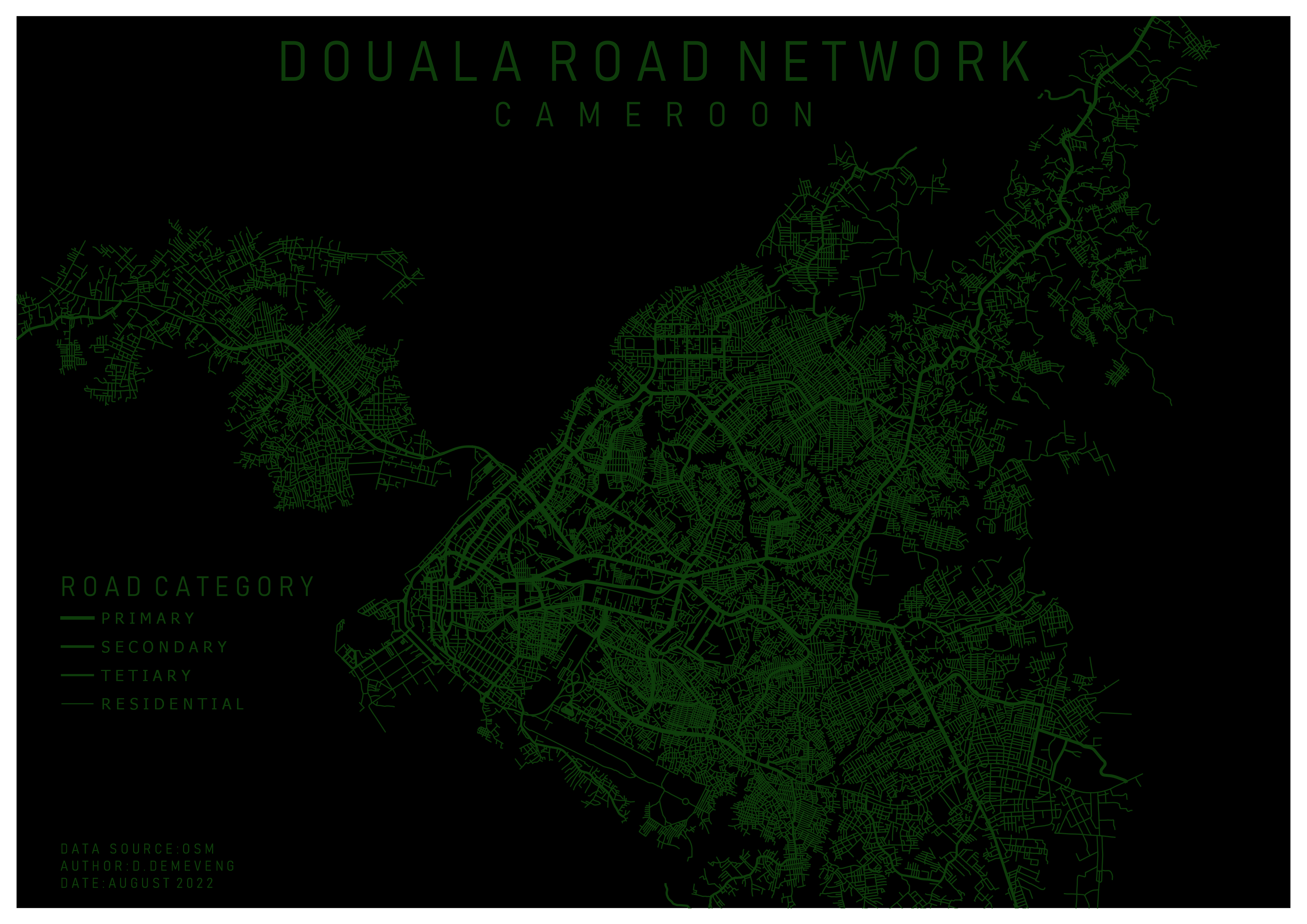
This map was inspired by a map i saw on LindedIn and I decided to reproduce the same with a different location using OpenData and FOSS.
Douala Road network
Tools used
OpenStreetMapQGIS
Plug-ins used
QGIS
tags
OpenStreetMapQGISroad networks
You might also like


Join the community!
We're a place where geospatial professionals showcase their works and discover opportunities.