
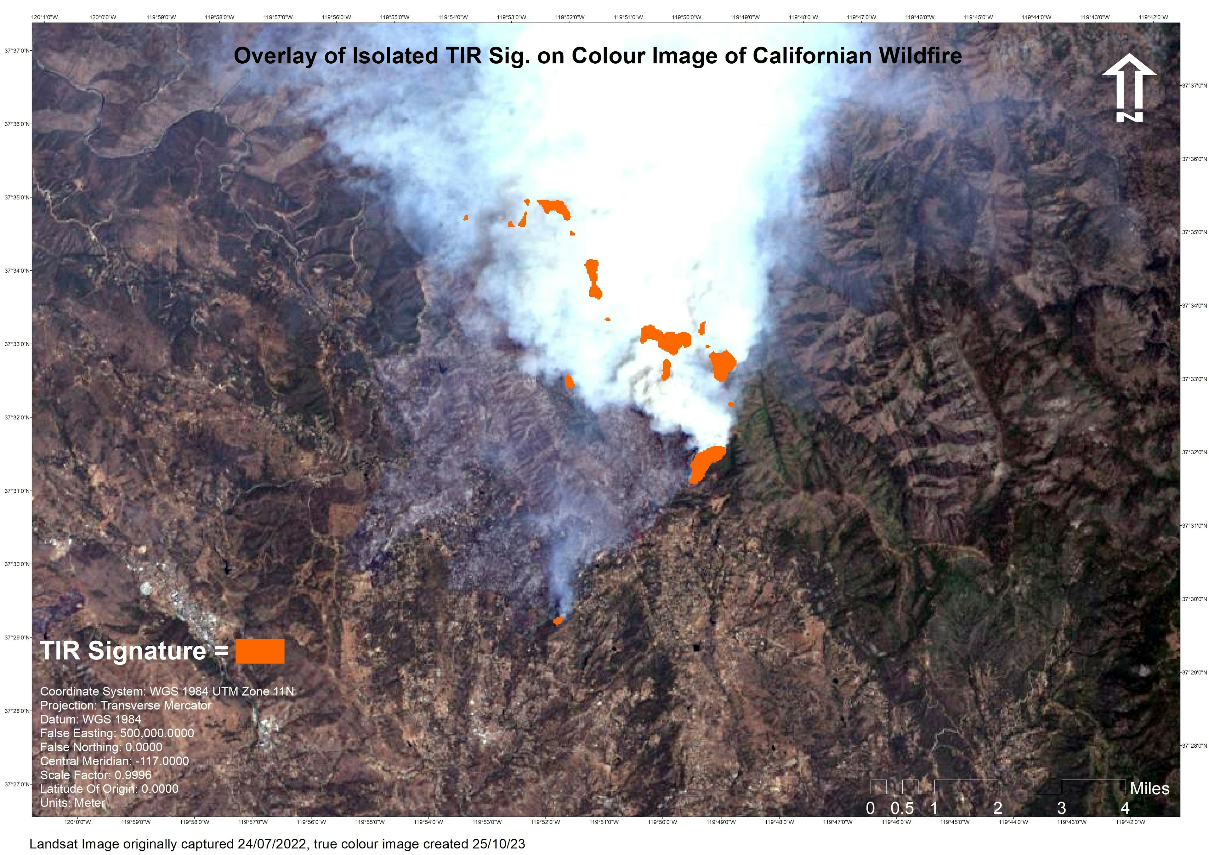
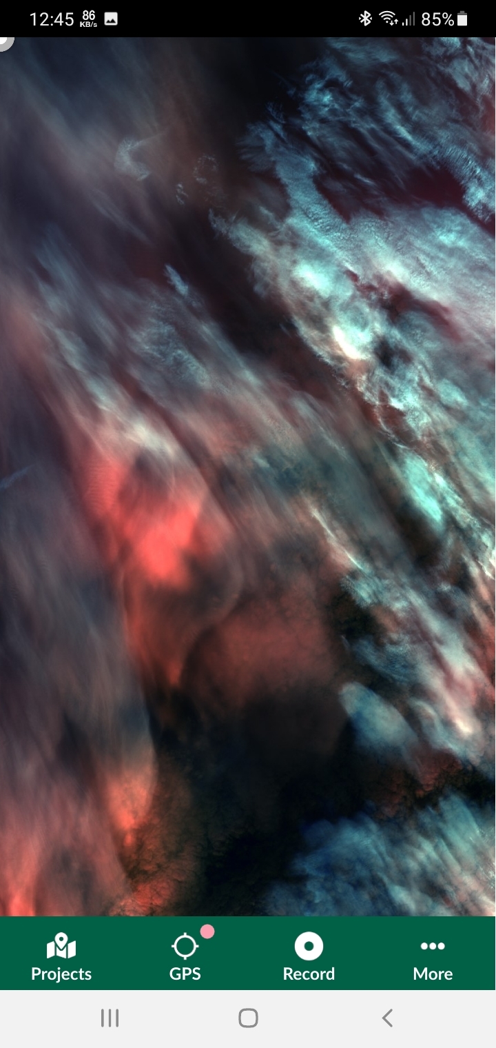
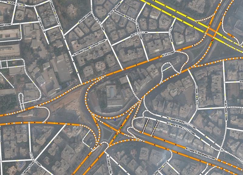
I used Rasta data from Landsat satellite imagery to create an overlay on a true colour image to highlight areas where active wildfires were taking place.
Determining Areas of Active Wildfire
Plug-ins used
Landsat 8
tags
overlaytopographic map
More by Cameron


You might also like


Join the community!
We're a place where geospatial professionals showcase their works and discover opportunities.