

Data from EarthData (Aster DEM)
Delineate of Aster DEM data
Data clipped and map created
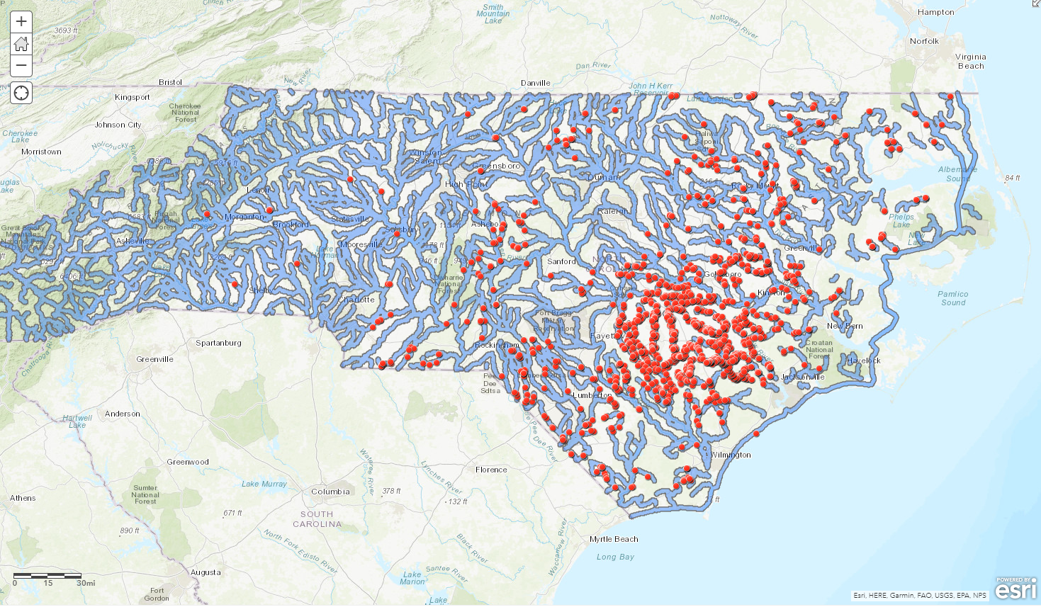
River Basin map in Himachel Pradesh Area
Plug-ins used
USGS Earth Explorer
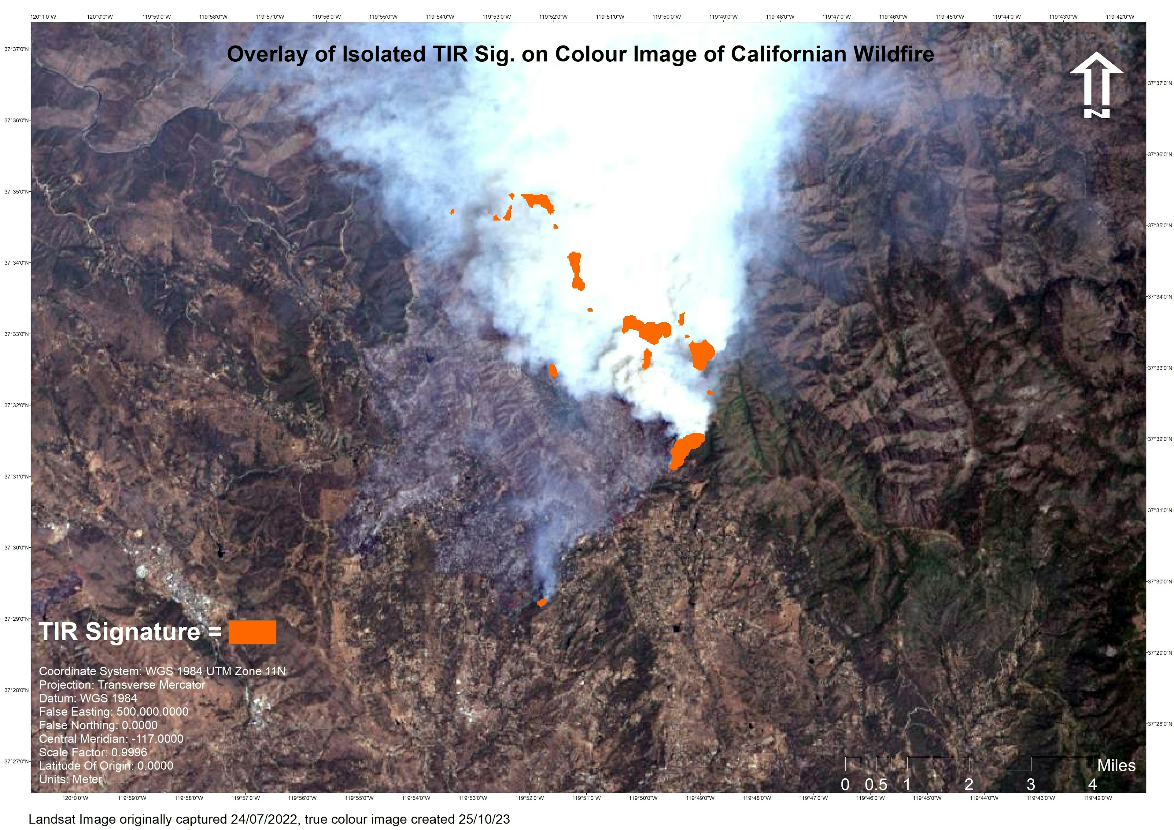
tags
ASTER
More by Cameron

You might also like


.png&w=3840&q=100)


_2461995.png&w=48&q=40 "Carmem Lúcia Ribeiro da Costa Soares")
Join the community!
We're a place where geospatial professionals showcase their works and discover opportunities.