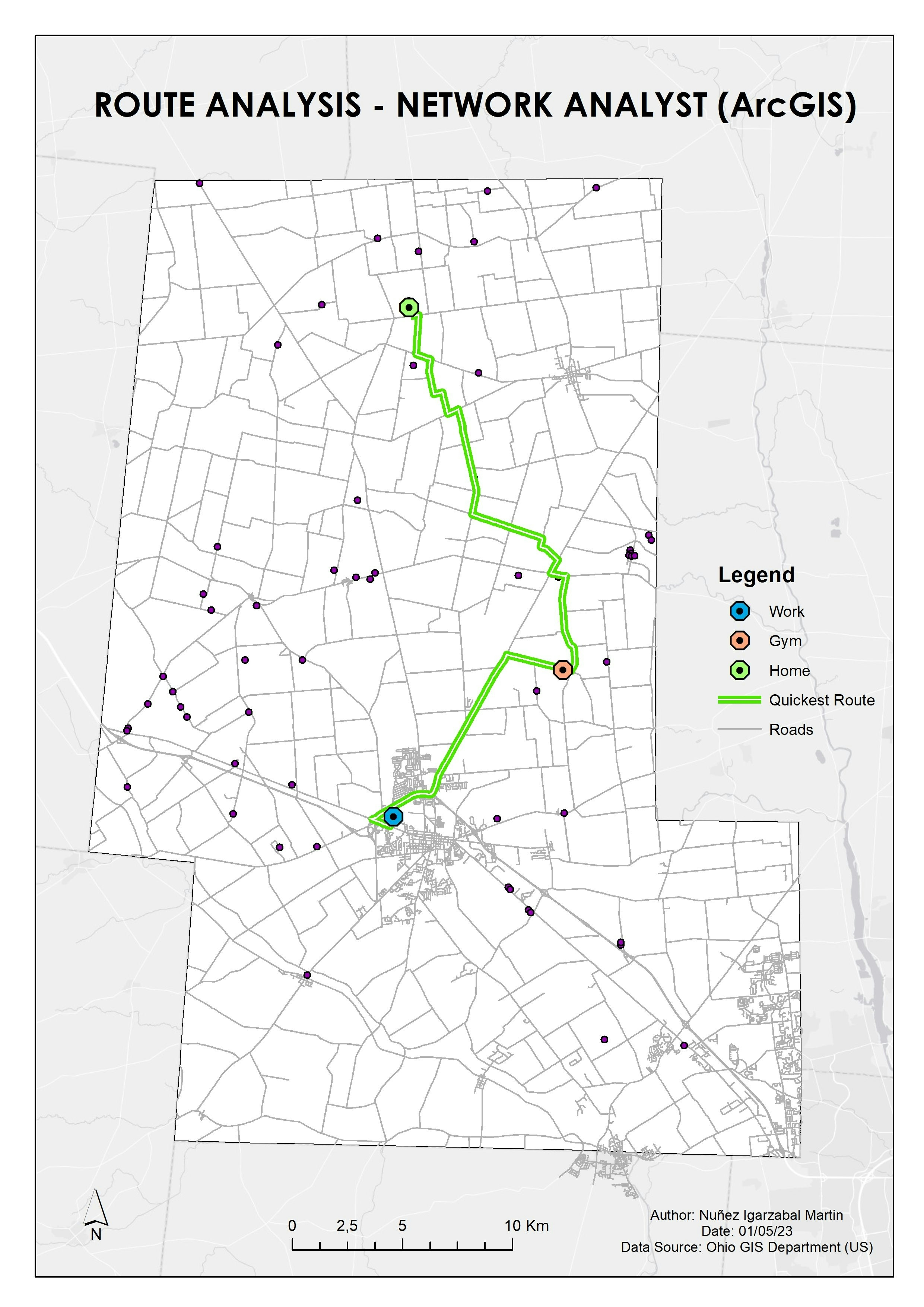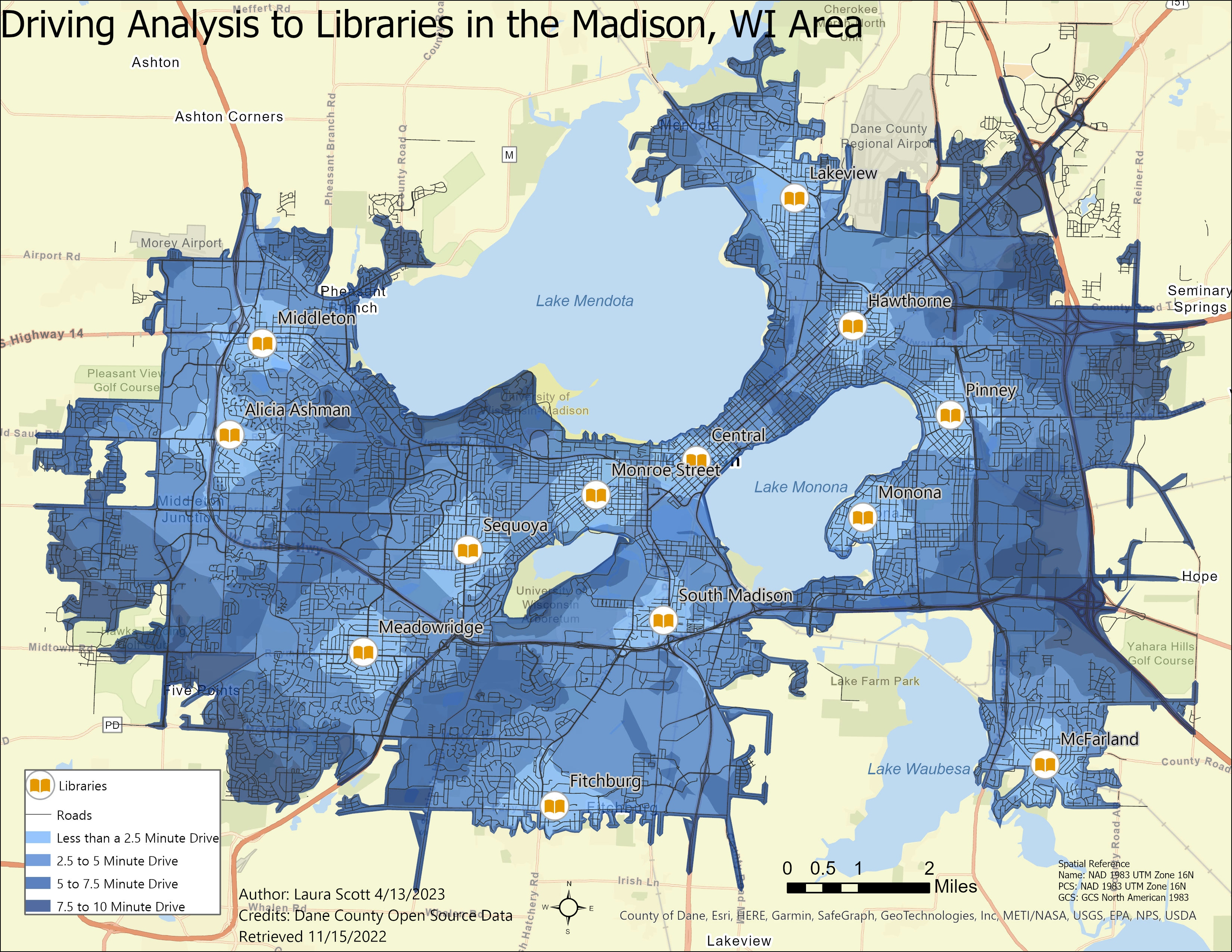
Another Library Map! I wanted to see how much of the population of the Madison Area was within a driving distance to a library.
For this Map, I started with data from Dane County Open Source Data. I had a lot of trouble working with the roads layer for this map.
I needed to create a field for time, which the equation is Distance/Speed=Time. I had fields for both distance and speed however, many speed limits were missing or appeared to be wrong . The segments that were labeled as "0" or were missing the speed, stopped any driving network. One segment had a speed limit of "2" with a length of around half a mile and the driving time was around 15 minutes.
After I identified all the road segments that appeared to be wrong and compared them to nearby segments, I could finally start on my Network Analysis.
The times that I displayed were less than 2.5 minutes, 2.5-5 minutes, 5-7.5 minutes and 7.5-10 minutes. The majority of the study area was within a 10 minute drive to a library.
There were many limitations to this analysis. One being, I did not account for traffic or time of day.