
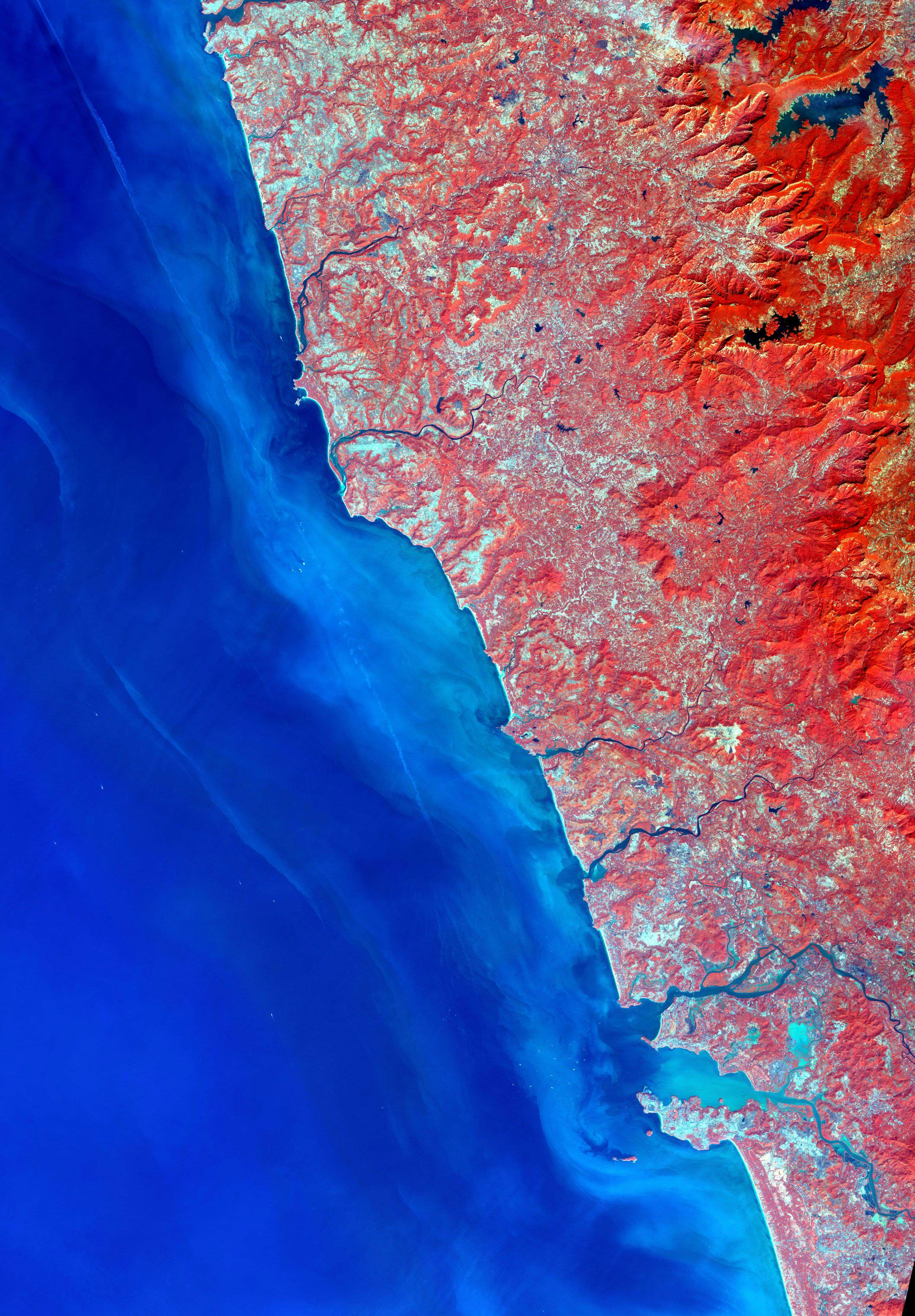
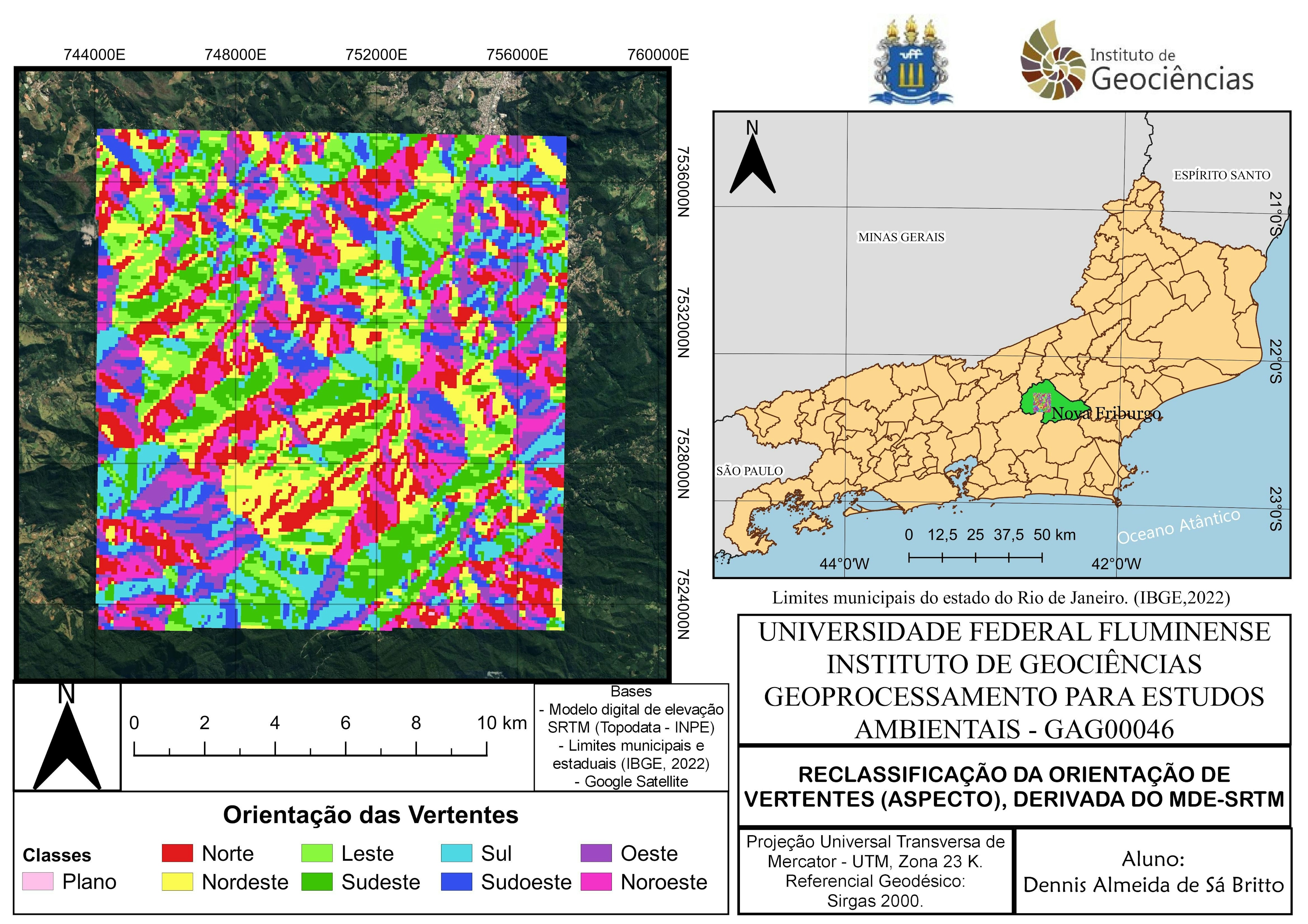
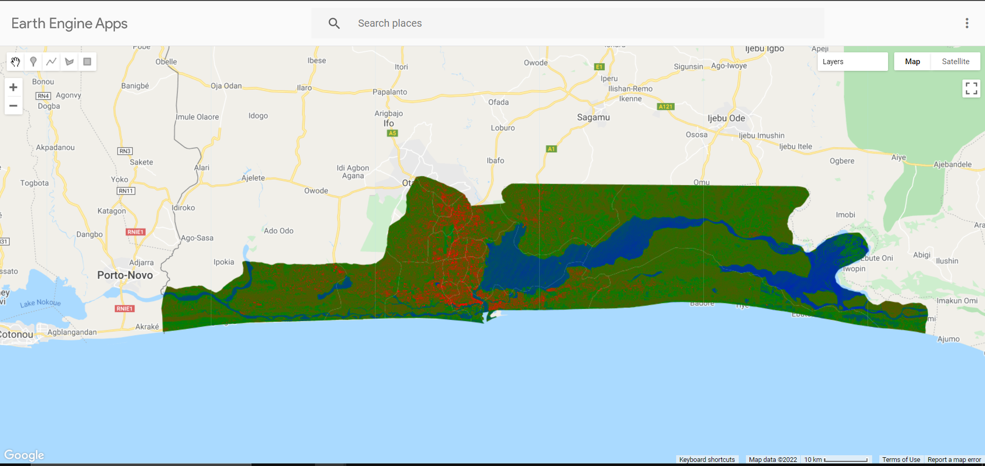
Satellite Imagery of the west Indian Coast from USGS is used to create a False Colour Composite (FCC)
False Colour Composite
Tools used
Remote Sensing
Plug-ins used
QGIS
tags
#SpatialNode
More by Bertrand Lobo


You might also like


Join the community!
We're a place where geospatial professionals showcase their works and discover opportunities.