Volunteered Geographic Information (VGI) is the concept of crowdsourced information collected by citizen scientists and uploaded to central databases. iNaturalist is one such application where users can take photos of plants and animals and upload them for identification. With a large existing database, many species are often automatically identified, with unknowns being identified and verified by experienced users.
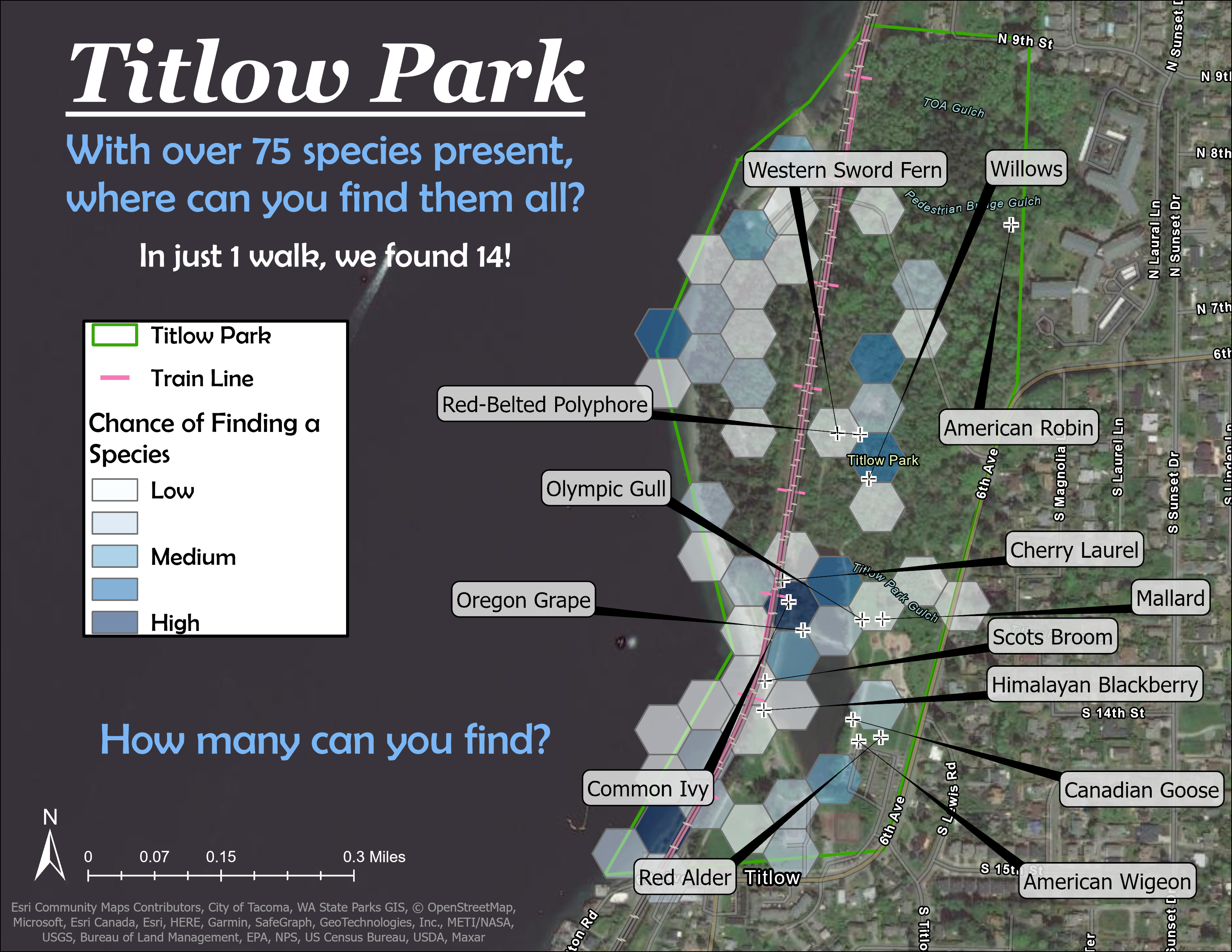
The map above shows the species distribution at Titlow Park in Tacoma, Washington. The hexagons represent aggregated observations from one year of iNaturalist data while the point locations represent observations from a single field study. The color coding of the hexagons indicates the likelihood of encountering species based on the number of historical observations.
This map is intended to be presented to hobbyists or students to encourage environmental education through the gamification of data collection.