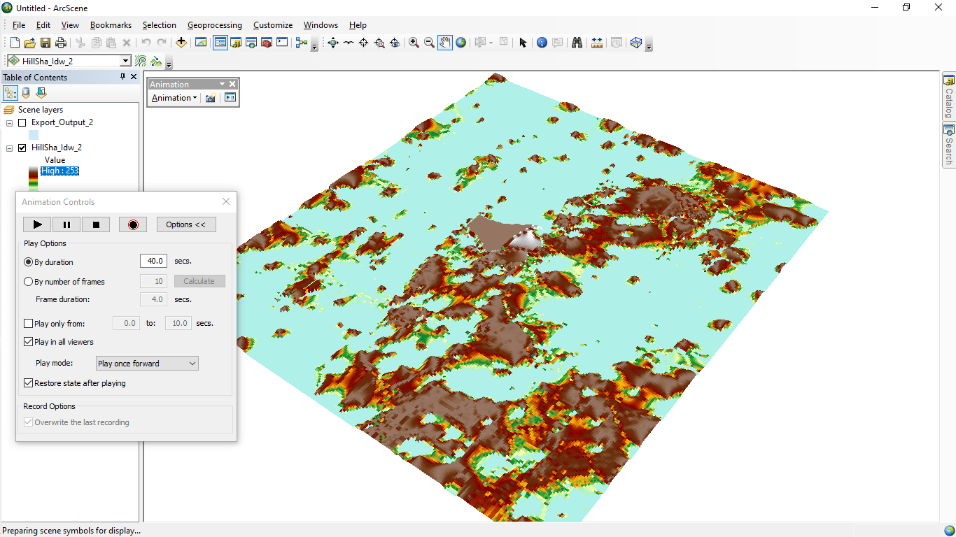
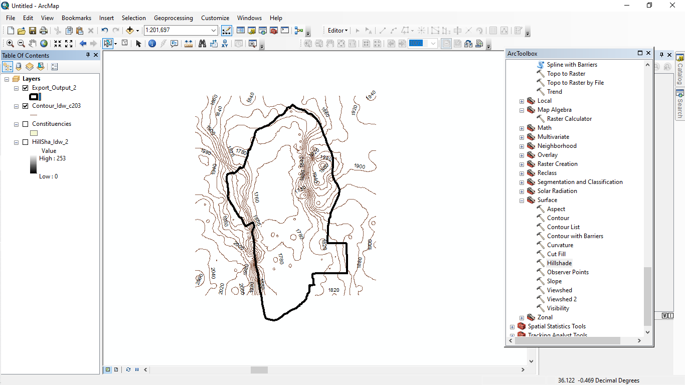
My flood simulation project using ArcScene and Google Earth Pro can have several potential applications and benefits.
Firstly, it can help in identifying and analyzing areas that are at risk of flooding. By creating a digital elevation model (DEM) of the area of interest and simulating potential flood scenarios, you can visualize how water would flow and accumulate in different areas during a flood event. This can be useful for emergency planning, disaster management, and risk mitigation.
Secondly, My project can help in understanding the impact of floods on the environment and infrastructure. By simulating different flood scenarios, you can see how water would interact with buildings, roads, and other features of the landscape. This can be valuable information for urban planners, architects, and engineers who are designing and constructing infrastructure in flood-prone areas.
Thirdly, My project can be used to educate the public and raise awareness about the dangers of flooding. By creating visualizations of potential flood scenarios, you can show people the potential impact of flooding on their homes and communities. This can help in promoting preparedness and encouraging people to take proactive steps to reduce their risk of flooding.
Overall, My flood simulation project using ArcScene and Google Earth Pro can be a powerful tool for analyzing and understanding the risks and impacts of flooding. By leveraging these technologies, you can create detailed visualizations of potential flood scenarios that can be used to inform decision-making and promote community resilience.


_2_5005765.jpg&w=48&q=40 "Poliana Marilia da Silva Mello Betella dos Santos")