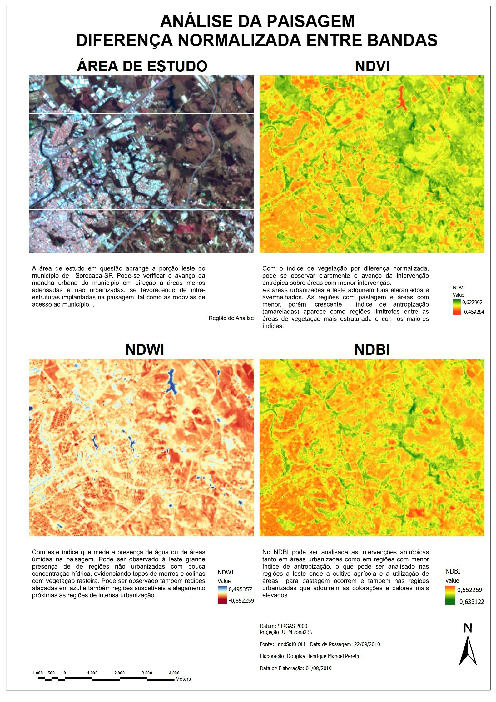
Terrorism in Kenya can be defined as the unlawful use of violence or threat of use of violence, with intent to advance a political, religious ,ideological or such other cause.
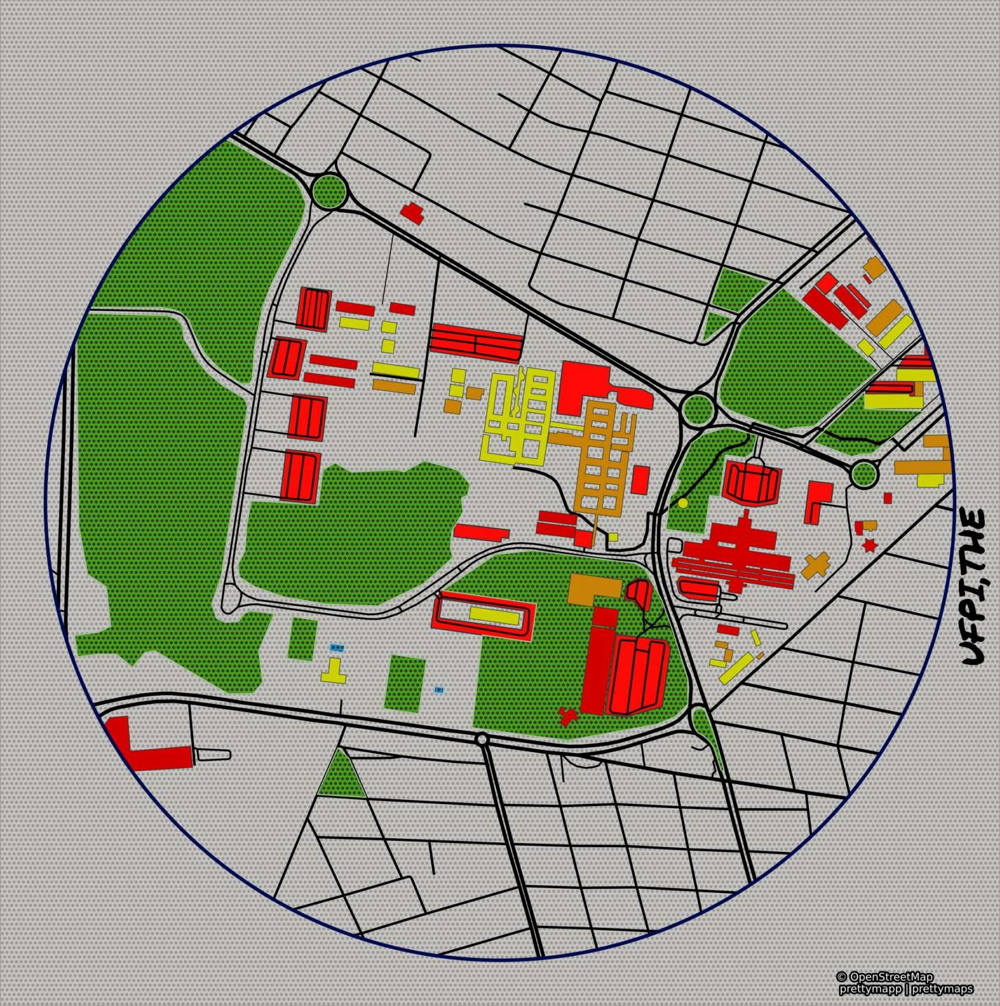
With the modern technologies and rise of GIS these incidences can be mapped and the hotspot areas determined. As shown above data was collected within Garissa county and the areas with high tallies of terror zones were mapped.
With this type of GIS applied technique terror related issues can be planned and analyzed and the hotspot patterns determined for efficient security operations.
With application allocation i.e, Resource allocation by the responsible Government eg. of Police Posts and Patrol units can be allocated with respect to the terror hostpot areas to help curb the insidious rise of terror incidences.


.jpeg&w=3840&q=100)