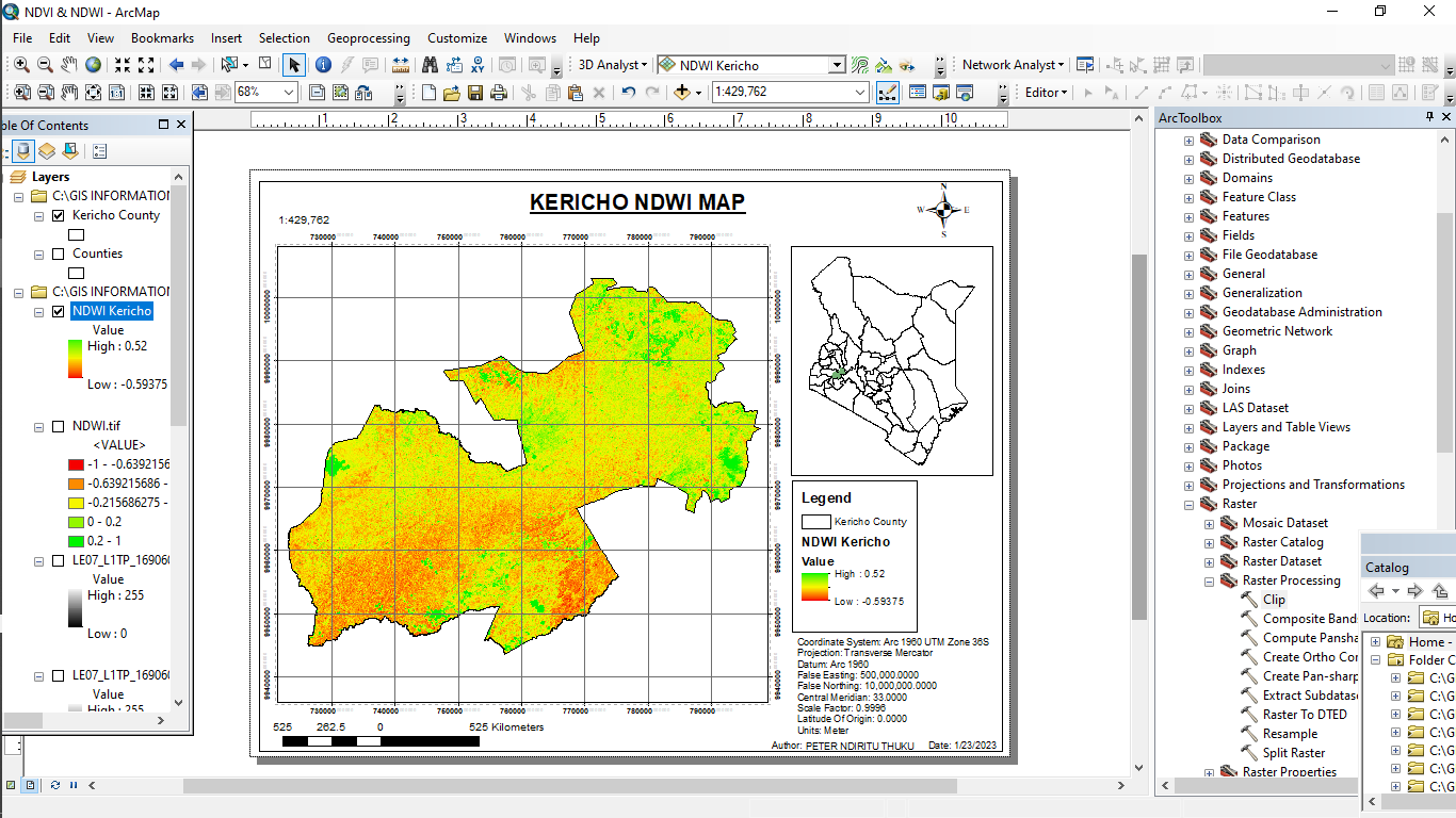
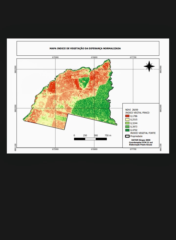
The Normalized Difference Water Index (NDWI) is used to highlight open water features in a satellite image, allowing a water body to “stand out” against the soil and vegetation.
Kericho County NDWI map is an interactive digital map of Kericho County, Kenya. It provides a comprehensive overview of the water resources in the county, including water bodies, their drainage networks, and their availability.
The map is divided into five zoom levels, with each level providing a detailed view of the water resources in the county. It contains a variety of information such as the water bodies, catchment areas, land use and land cover, and water availability.
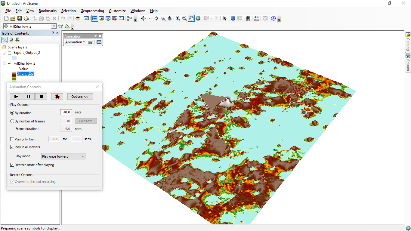
NDWI was calculated using the ArcMap tool Raster calculator.
To calculate Landsat 8 NDWI bands 3 ( Green , ) and band 5 ( Near Infrared, NIR ) are used
NDWI = (Green – NIR)/(Green + NIR)
or
NDWI = (Band 3 – Band 5)/(Band 3 + Band 5)
This is an invaluable tool for local governments, researchers, and water resources experts in understanding and managing the water resources in the county.


_2_5005765.jpg&w=48&q=40 "Poliana Marilia da Silva Mello Betella dos Santos")