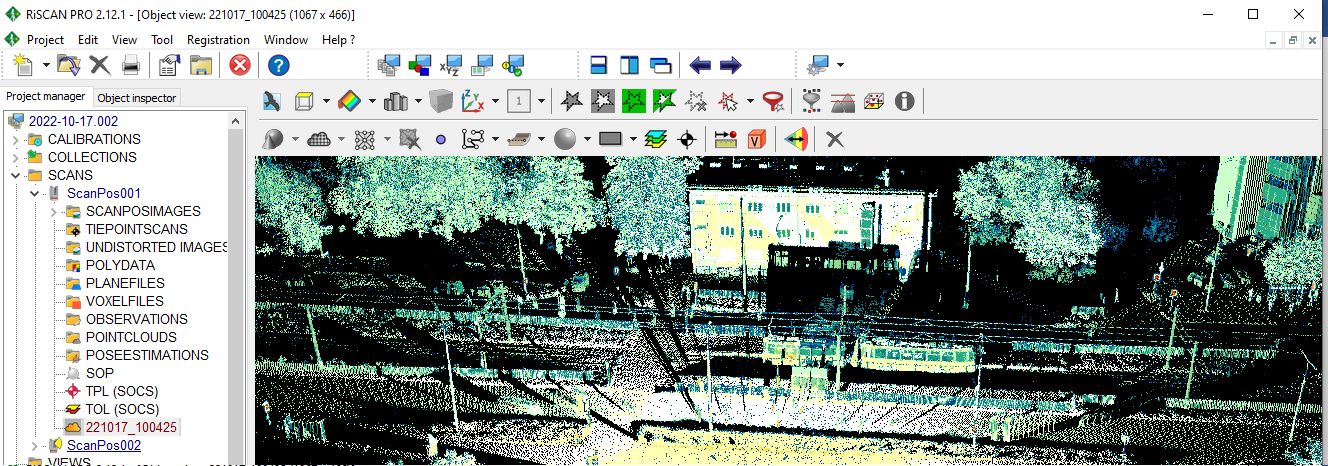
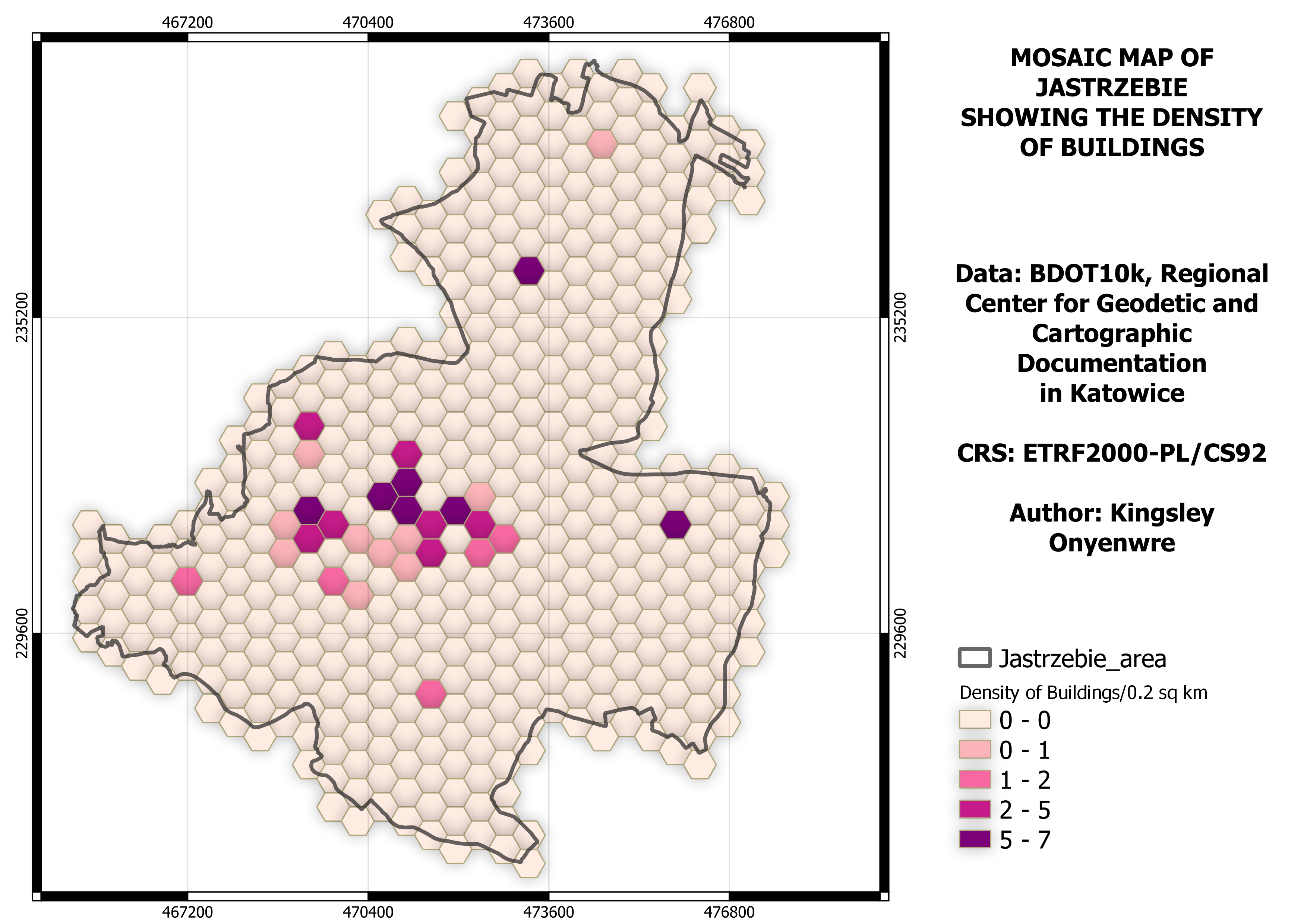
This project describes data visualization in the RiScan software using laser scanner data. The data is collected from the Institute of Earth Science at the University of Silesia in Sosnowiec. Various visualization techniques are demonstrated, including reflectance, bird's eye view, orientation display view, split view, color changes, and point cloud thinning.
Other visualization methods like amplitude, timestamp, range, height, 2D view, panorama view, and octagonal view were explored in the exercise. Additionally, it covers measurements of spatial parameters like height, width, and length for specific objects in the point cloud data.


 He")