
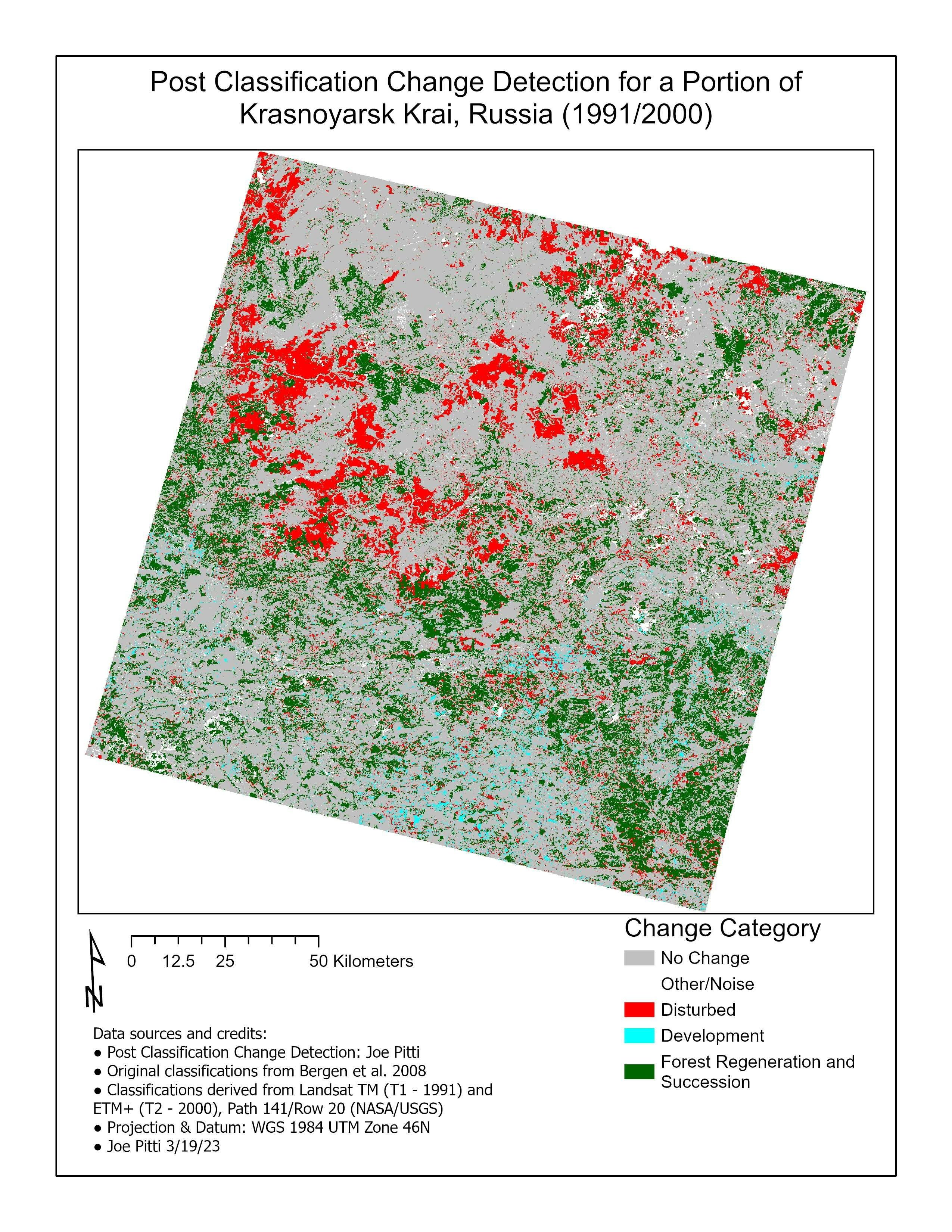
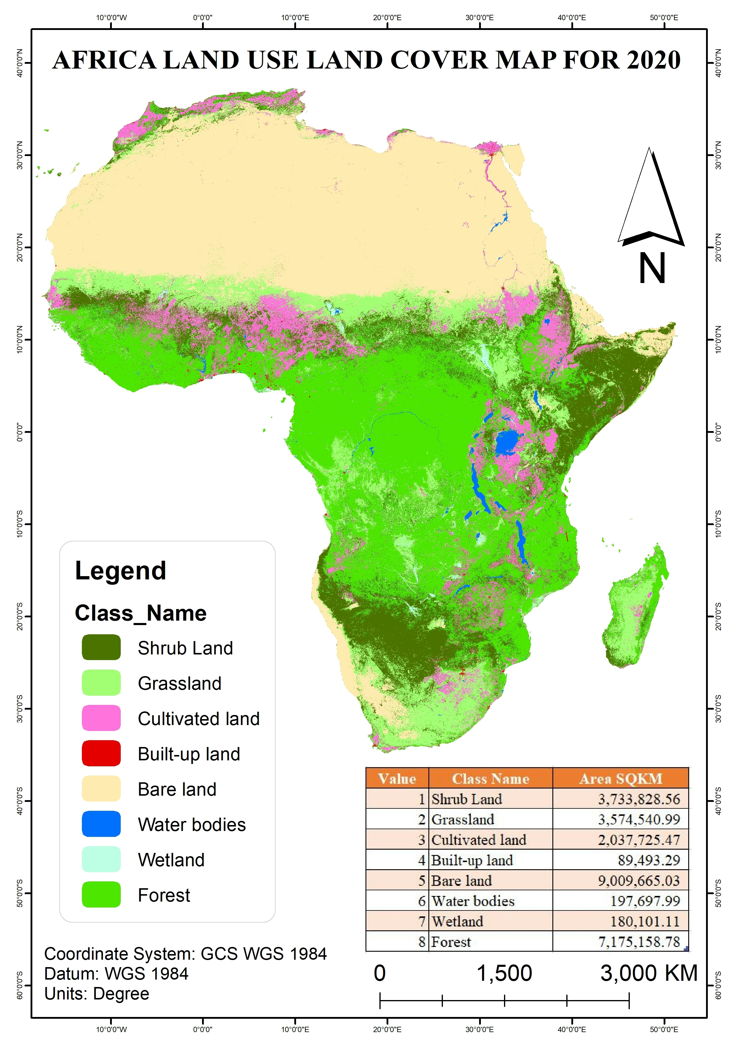
Here is a post classification change detection I completed as a lab project at UM. This involved building models in ERDAS IMAGINE to remove non-permanent water features and compute the land use/land cover change. I enjoyed getting more experience with the technical tools in imagine and gaining exposure to the full workflow for a realistic application of remote sensing.
Post Classification Change Detection Lab
Tools used
ArcGIS ProErdas Imagine
Plug-ins used
sftidyverse
tags
change detection land coverland use
More by Joe Pitti
You might also like


Join the community!
We're a place where geospatial professionals showcase their works and discover opportunities.