

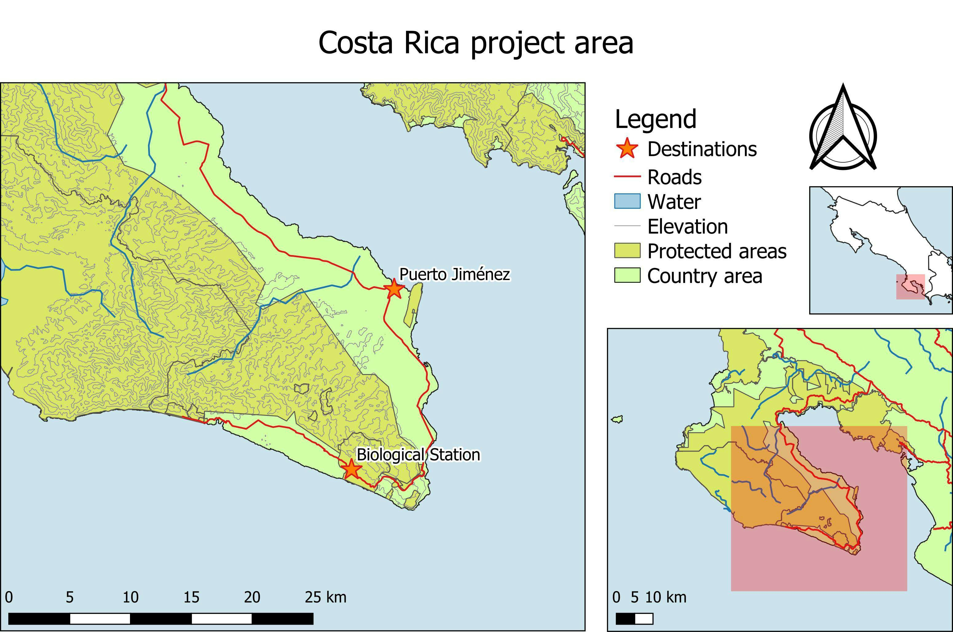
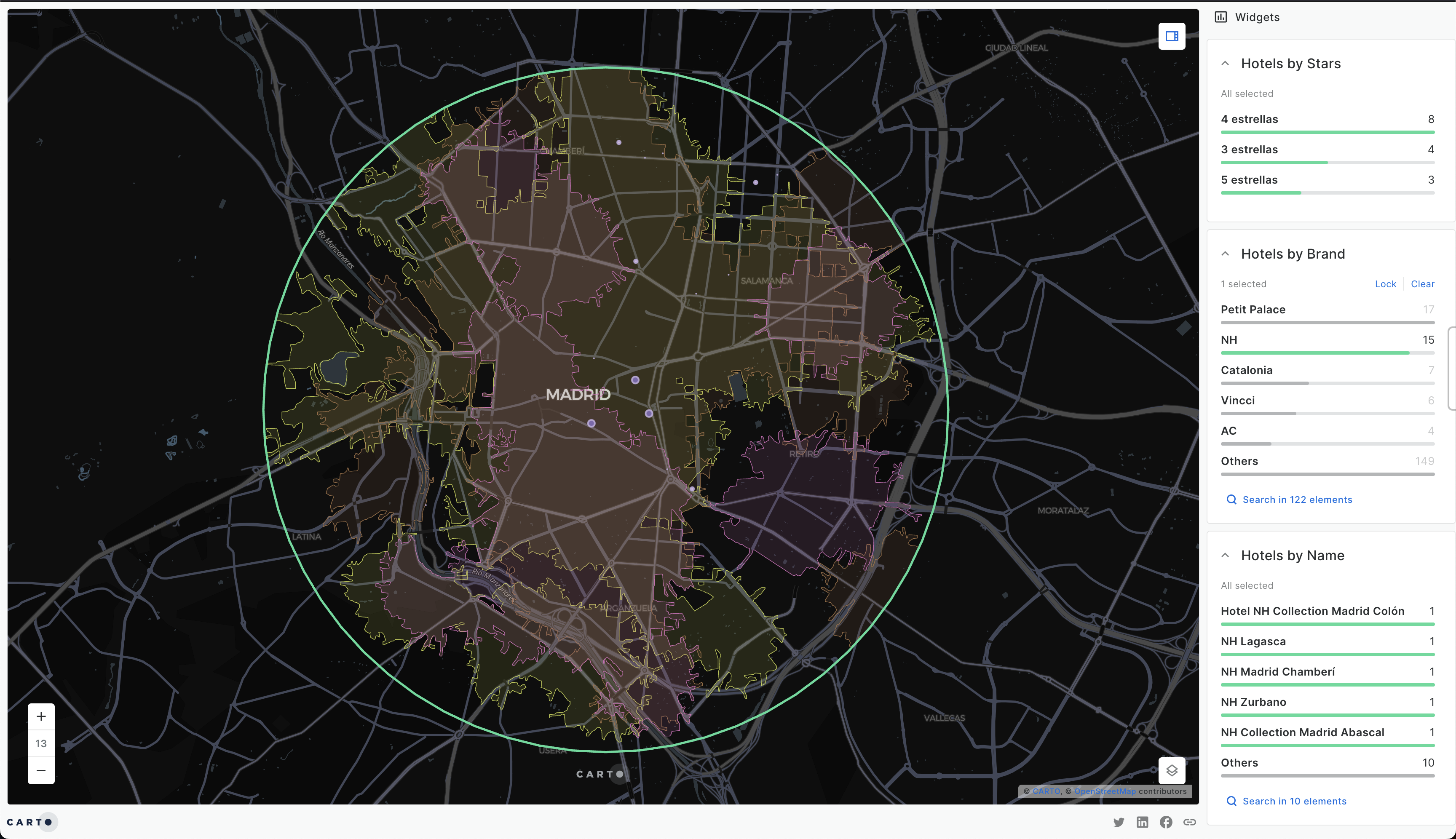
An image that shows the drainage networks and rivers of the world, made using data from AQUASTAT.
Stream/ Drainage network of the World.
Tools used
Python
Plug-ins used
geopandasMatplotlibpanda
tags
GEOPANDASPython
You might also like


Join the community!
We're a place where geospatial professionals showcase their works and discover opportunities.