
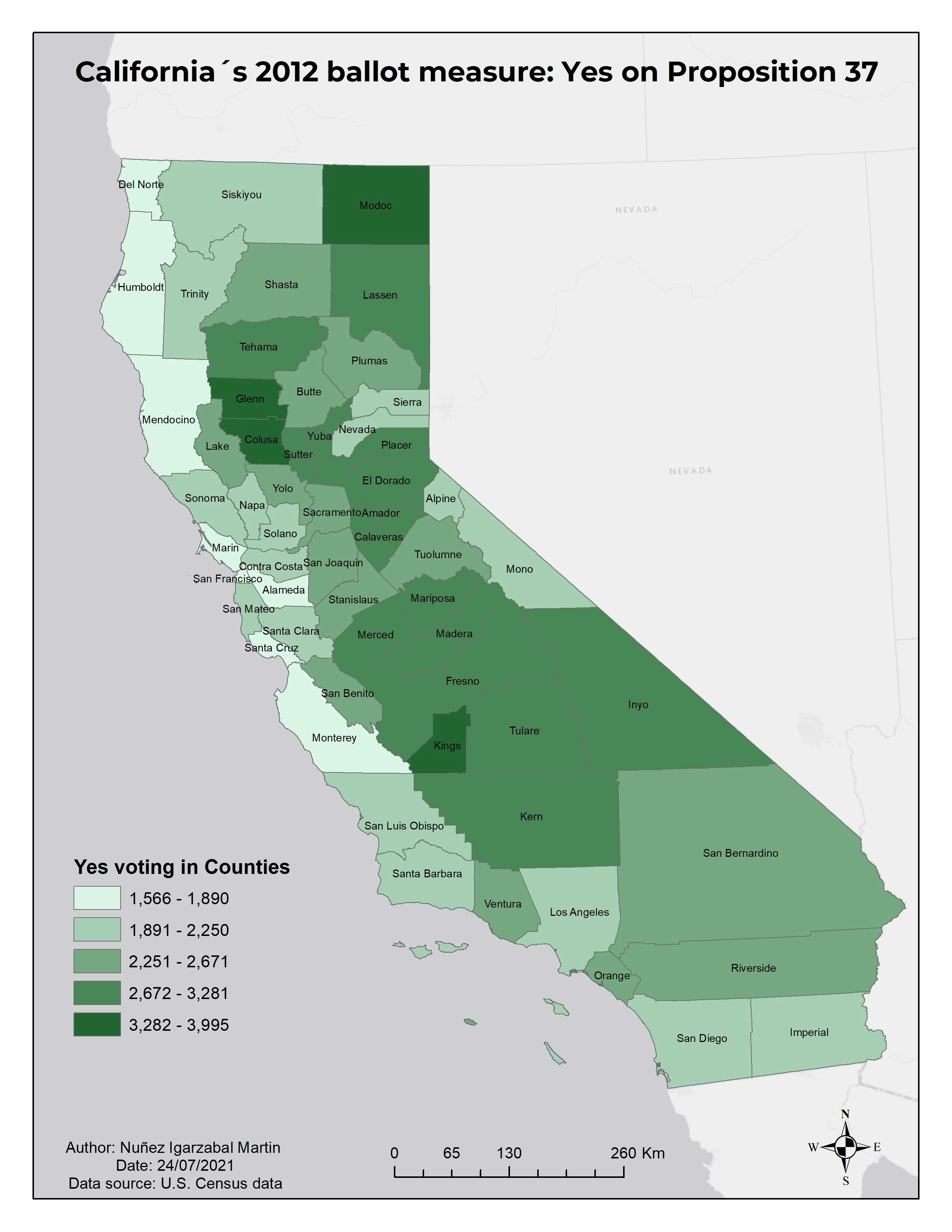
Voting data in California (2012) using ArcGIS and open census data.Voting data in California
Plug-ins used
OSM
tags
Spatial Analysis
More by Martin Nuñez Igarzabal


You might also like


Join the community!
We're a place where geospatial professionals showcase their works and discover opportunities.