.svg "Keran Nkongolo")

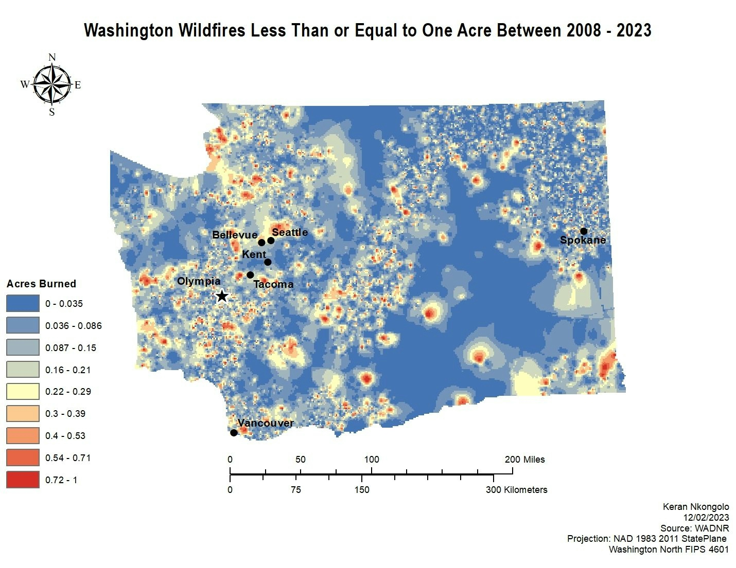
This project investigates the relationship between large fires and water quality projects between 1991 - 2022. The data was retrieved from the Washington Geospatial Hub and Washington DNR. Based on the map it seems as there is an intersect between large fires and water quality projects in the center of the state. However, in general there does not seem to be a relationship between the two variables.
WA WF & WQ Projects
Plug-ins used
ArcMap
tags
ArcMap
More by Keran Nkongolo


You might also like


Join the community!
We're a place where geospatial professionals showcase their works and discover opportunities.