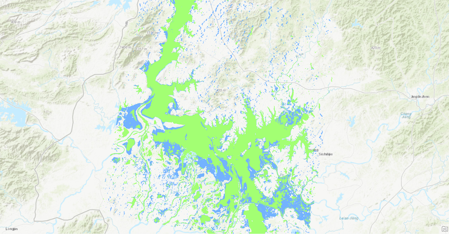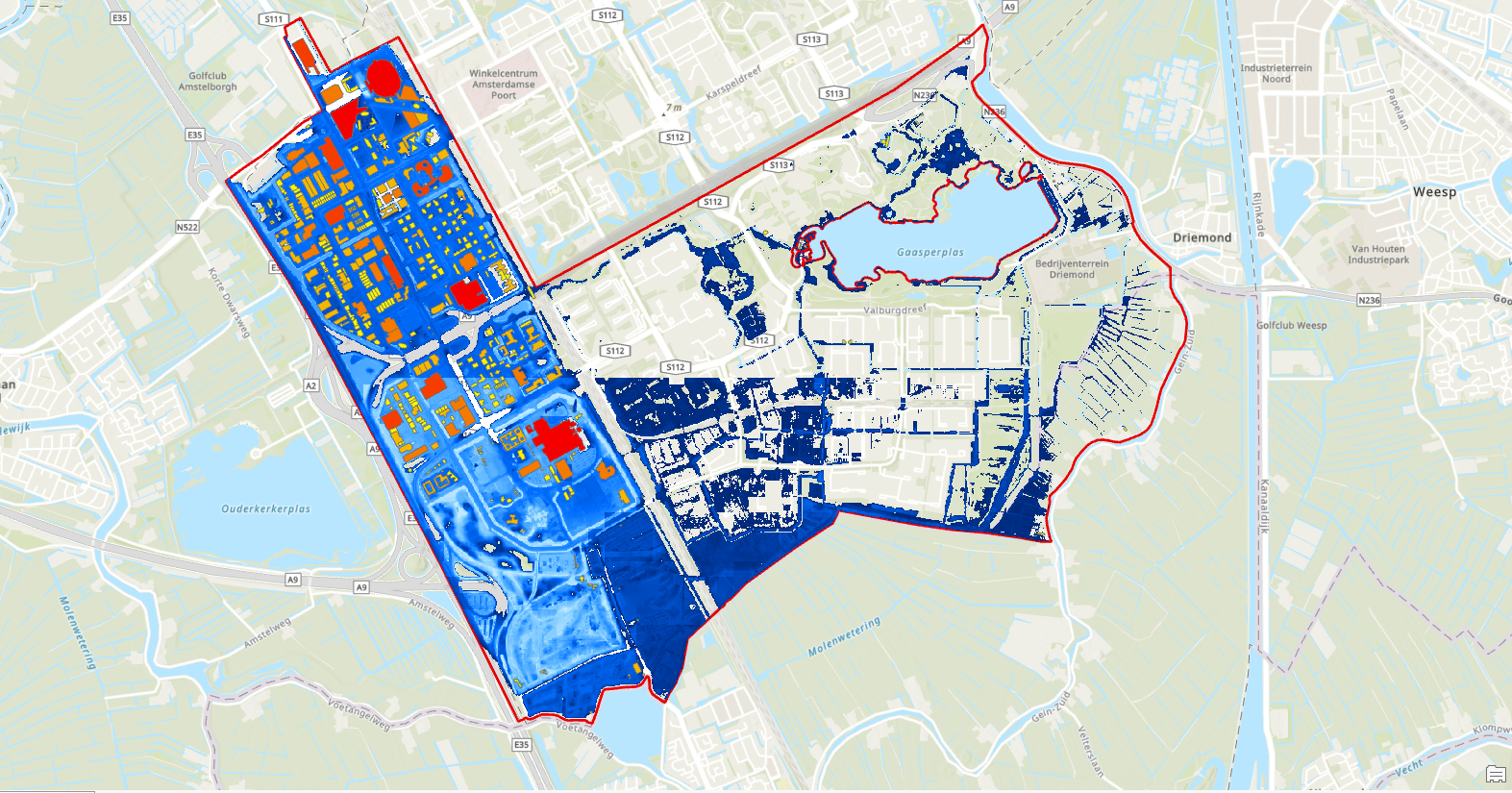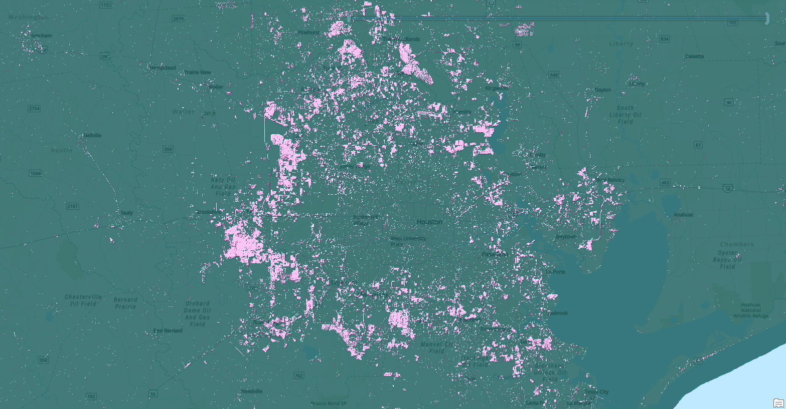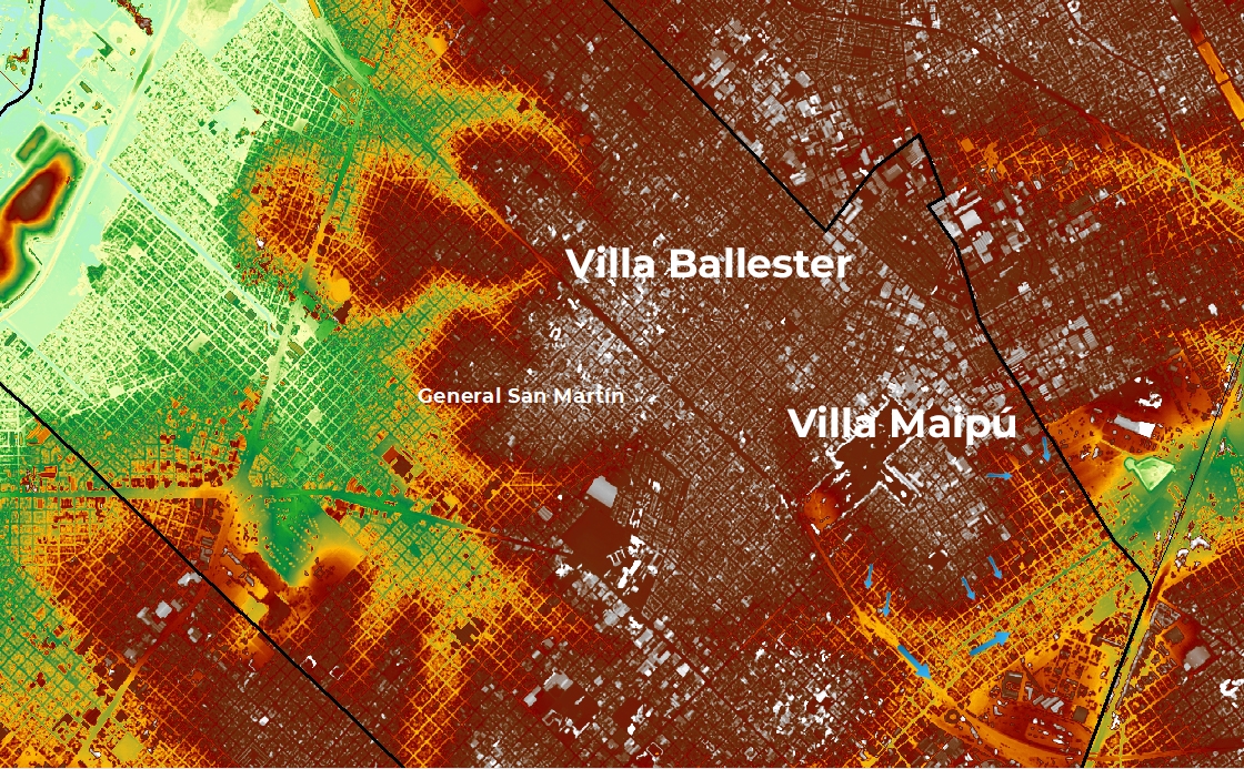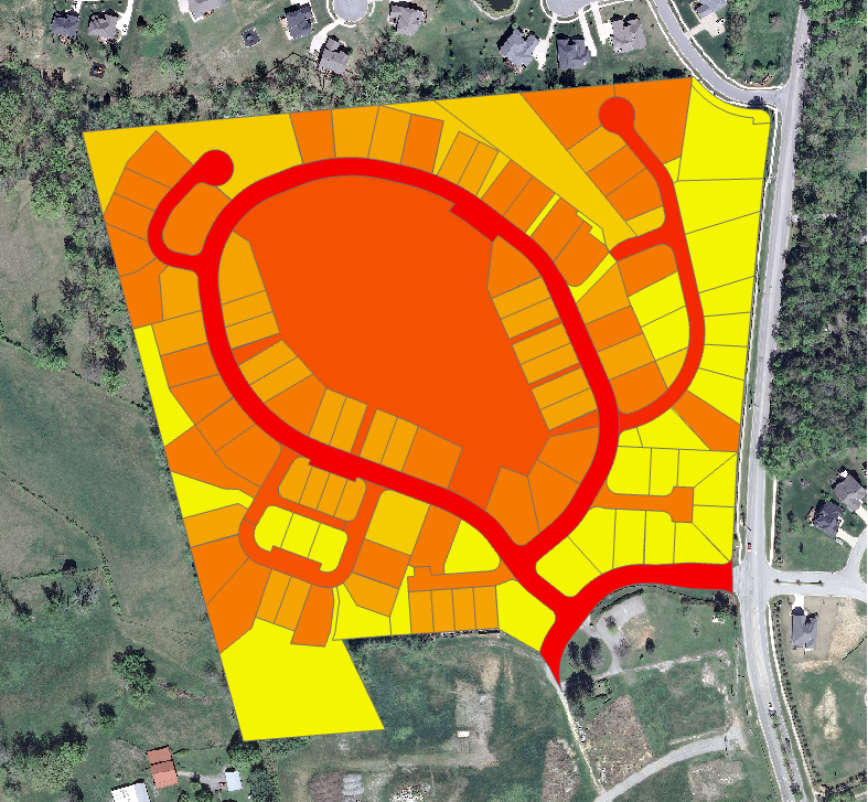
Ground surfaces that are impenetrable to water can cause serious environmental problems, including flooding and contaminated runoff. Because impervious surfaces are such a danger, many governments, like the City of Louisville, Kentucky, charge landowners with high amounts of impervious surfaces on their properties. To calculate fees, I segmented and classified aerial imagery by land use to calculate the area of impervious surfaces per land parcel.
I then performed a quantitative accuracy assessment on the classification by statistically comparing it to the original image. I generated accuracy assessment points throughout the image, performed ground truths, computed a confusion matrix, and obtained a classification accuracy percentage.
Completed using the 'Calculate impervious surfaces from spectral imagery' and 'Assess the accuracy of a perviousness classification' tutorials on Learn ArcGIS by author Vinay Viswambharan.