Sign up or log in to your Spatialnode account.

Takes less than a few seconds.

Boundaries of Waters of the US

Harrison Hyatt
Harrison Hyatt•

May 17, 2022

Boundaries of Waters of the US

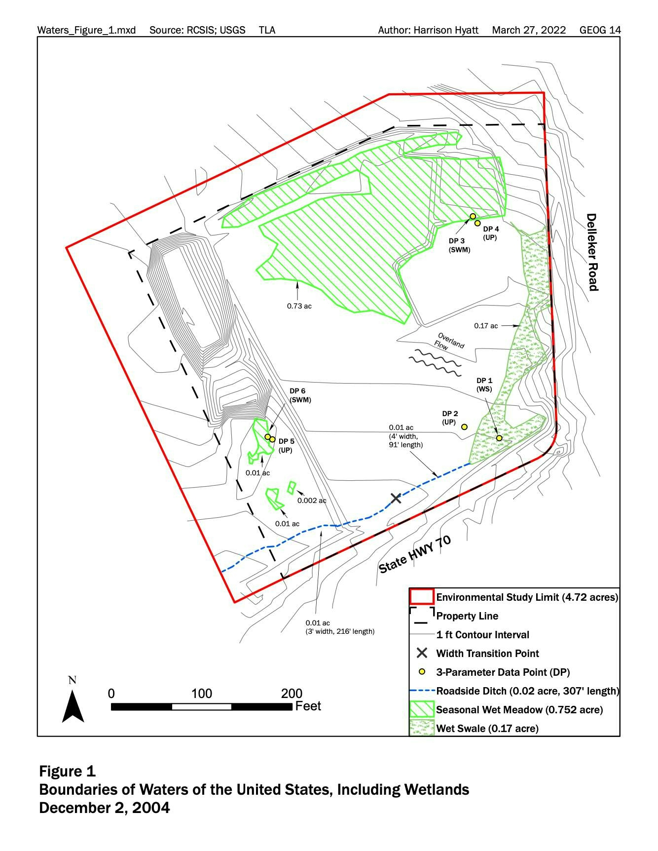
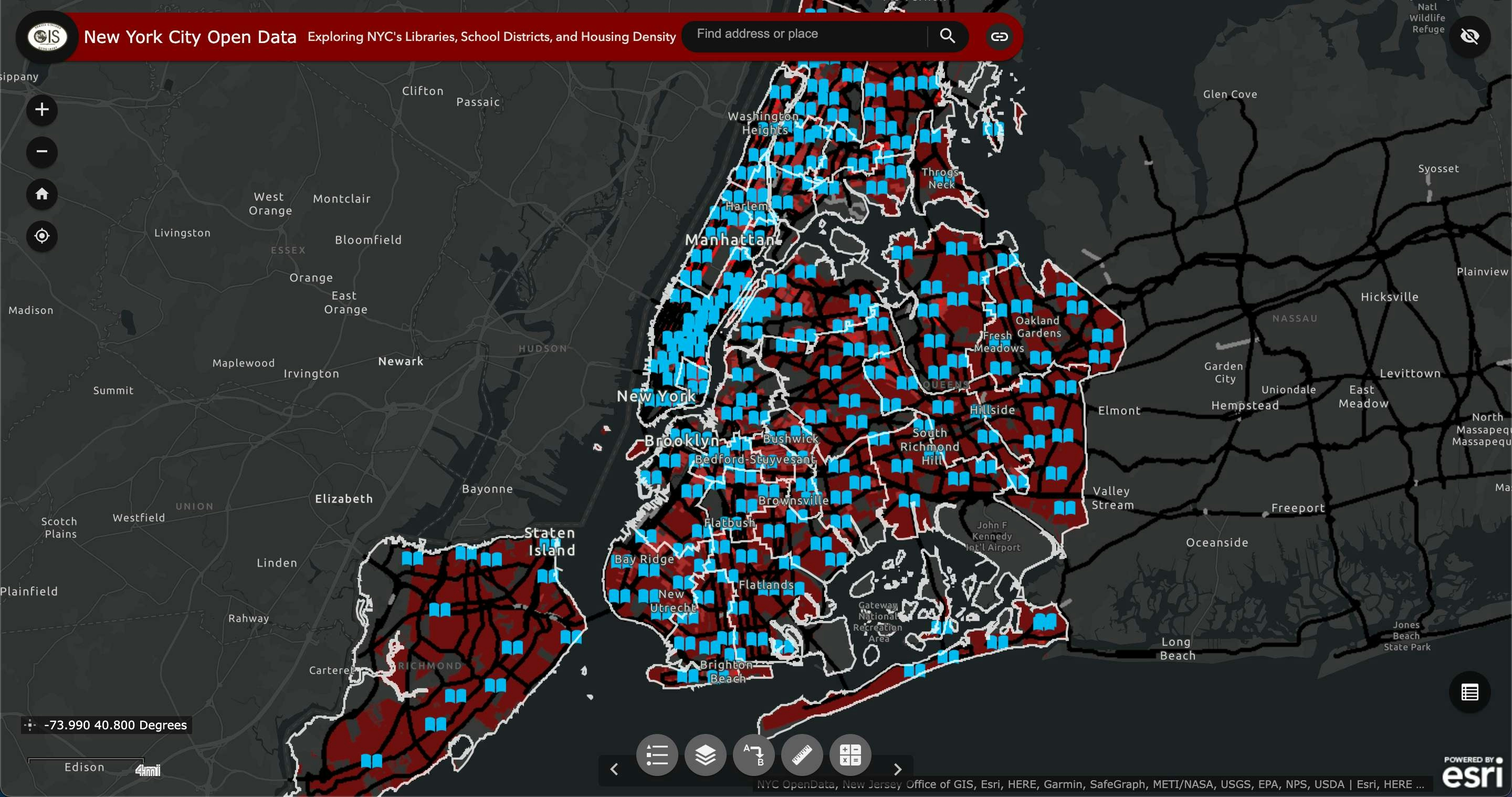
This map shows water boundaries in Delleker, CA.


Tools used

ArcGIS Pro

tags

wetlands

More by Harrison Hyatt

New York City Open Data
80
Car Collisions in Los Angeles 2014-2019
79
City of Redding
City of Redding
23
A Visitor's Guide to Miracle Mile, LA
24
Saving Kauai's Seabirds
16
Pordenton School District
36

You might also like

4c: Modifying Water Infrastructure Map
Patrick Ansell
4c: Modifying Water Infrastructure Map
Patrick Ansell
12
DEM Data for Virginia farm
Cari Lynn Squibb
DEM Data for Virginia farm
Cari Lynn Squibb
40
AUTO DE INTIMAÇÃO -  ATLAS QGIS
Gustavo da Silva Francisco
AUTO DE INTIMAÇÃO - ATLAS QGIS
Gustavo da...
7
Colombia Water Transitions
Paola Prieto Botero
Colombia Water Transitions
Paola Prieto Botero
32
Viagens de campos
Jardel Estevam Barbosa dos Santos
Viagens de campos
Jardel Estevam...
9
Top amazing waterfalls in Africa
Balogun Temitope
Top amazing waterfalls in Africa
Balogun Temitope
544
Somalia Health Facilities
MICAH KUTOTO
Somalia Health Facilities
MICAH KUTOTO
22
Stony Brook Sewer Service Areas Mapping
Shrithik S
Stony Brook Sewer Service Areas Mapping
Shrithik S
34
Mountains-To-Sea Trail Map
Cole Feyen
Mountains-To-Sea Trail Map
Cole Feyen
26
Homeless 3-1-1 Calls in Pittsburgh
Jessie Brain
Homeless 3-1-1 Calls in Pittsburgh
Jessie Brain
15
Leeds City Centre in 3D
Adriana Calderon
Leeds City Centre in 3D
Adriana Calderon
221
USA Tornadoes
Sammer
USA Tornadoes
Sammer
20

Join the community!

We're a place where geospatial professionals showcase their works and discover opportunities.

Sign Up for free