.svg "Keran Nkongolo")

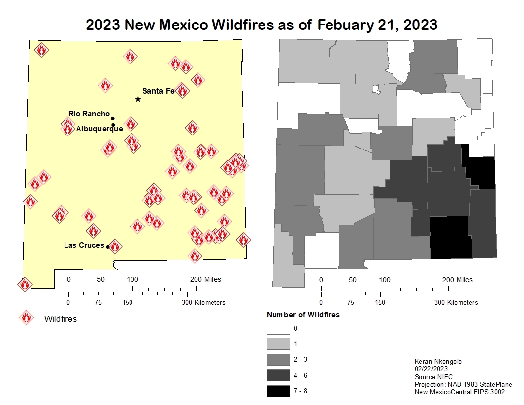
This project explored the average temperature of California counties and the number of wildfires and acres burned in the state in 2021. The data was acquired from California Department of Forestry and Fire Protection (CAL FIRE) and National Oceanic and Atmospheric Administration (NOAA). Based on the data there is a positive relationship between higher average temperatures and acres burned, but this was not this relationship was not present with the number of wildfires.
CA Average Temperature & WF
Tools used
chloropleth mapTable to Excel
Plug-ins used
ArcMap
tags
ArcMap
More by Keran Nkongolo


You might also like


.jpg&w=3840&q=100)

Join the community!
We're a place where geospatial professionals showcase their works and discover opportunities.