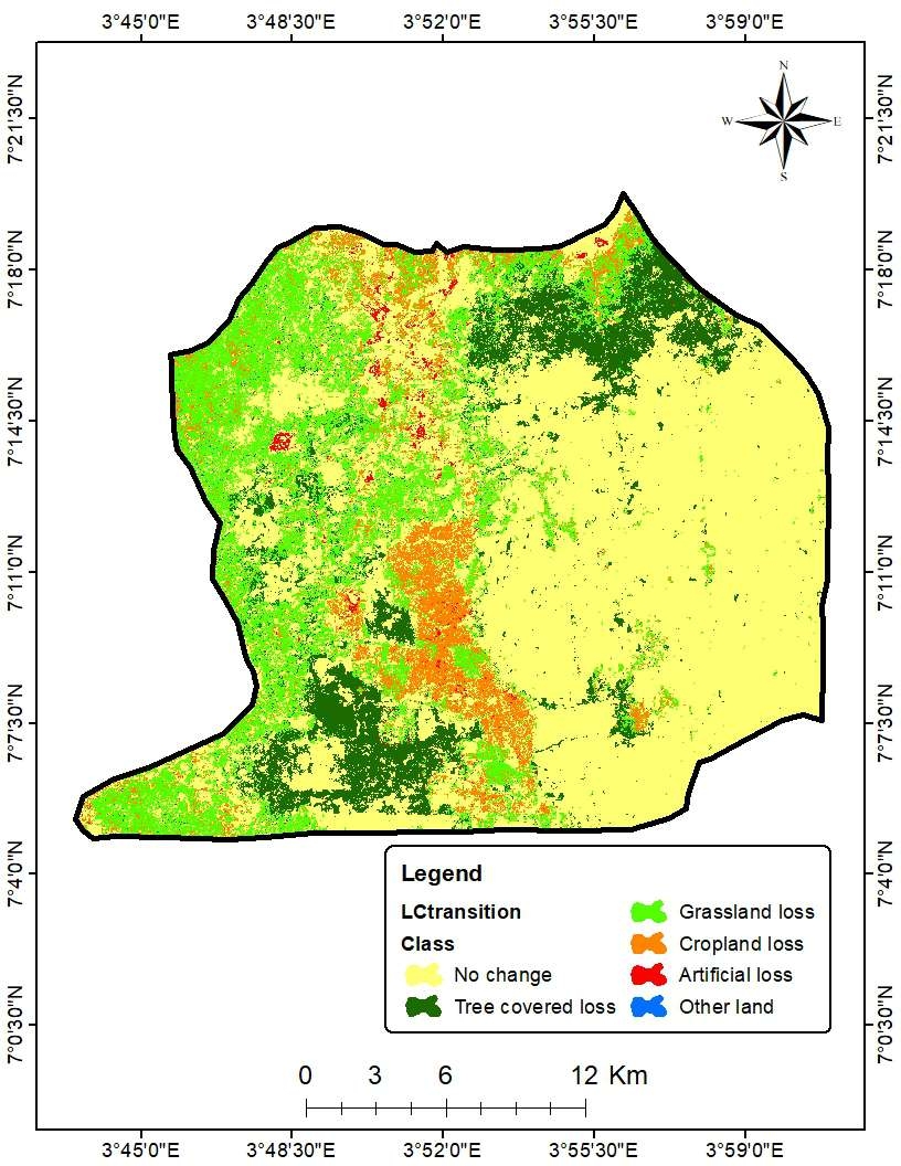
LANDUSE/LANDCOVER MAP OF KETA LAGOON


tags
Spatial Analysiswetlands
More by Emmanuel Opoku

.jpg&w=3840&q=100)


You might also like


Join the community!
We're a place where geospatial professionals showcase their works and discover opportunities.
LANDUSE/LANDCOVER MAP OF KETA LAGOON
More by Emmanuel Opoku
You might also like
We're a place where geospatial professionals showcase their works and discover opportunities.