
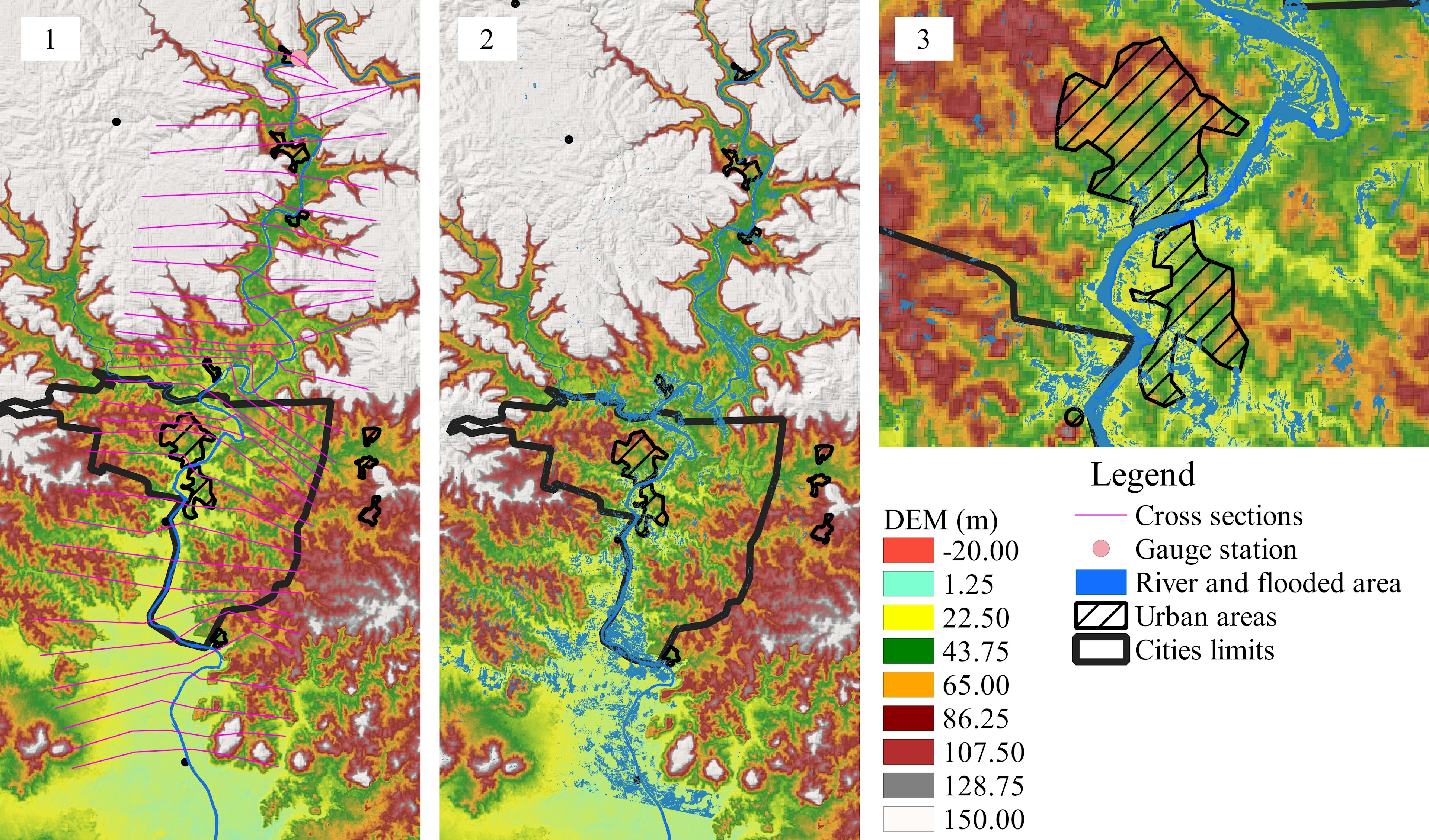
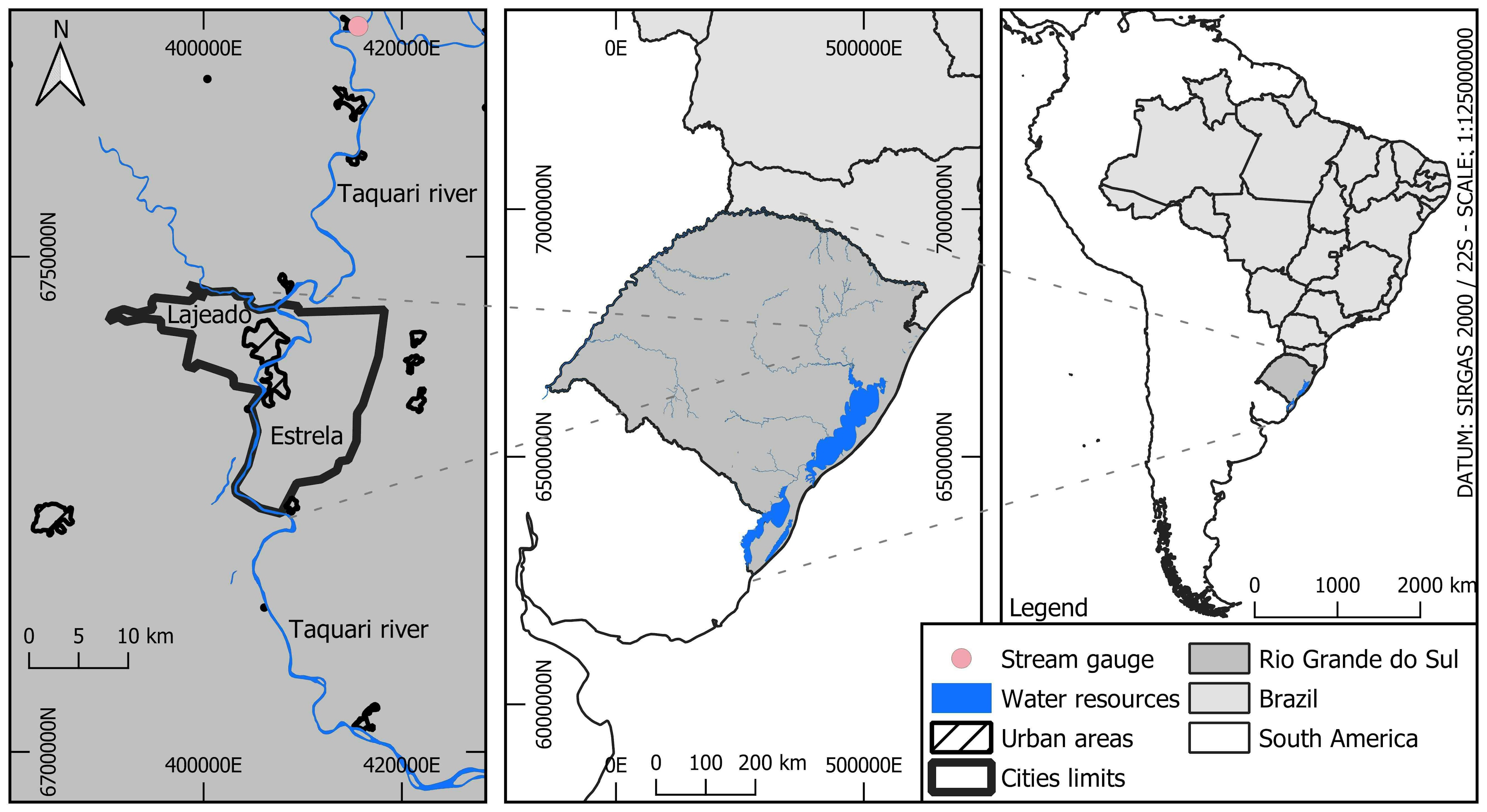
DEM of the region under study, the cross-sections (1), municipal boundaries (3) and urban areas of the cities of Lajeado (left) and Estrela (right), as well as the observed flood inundation extent, obtained through the Normalized Difference Water Index (NDWI) (2).
Pre-processing for HEC-RAS simulation
Tools used
QGIS
Plug-ins used
None
tags
Spatial ModellingWater
More by Vinicius Kuchinski


You might also like


.svg "Keran Nkongolo")


Join the community!
We're a place where geospatial professionals showcase their works and discover opportunities.