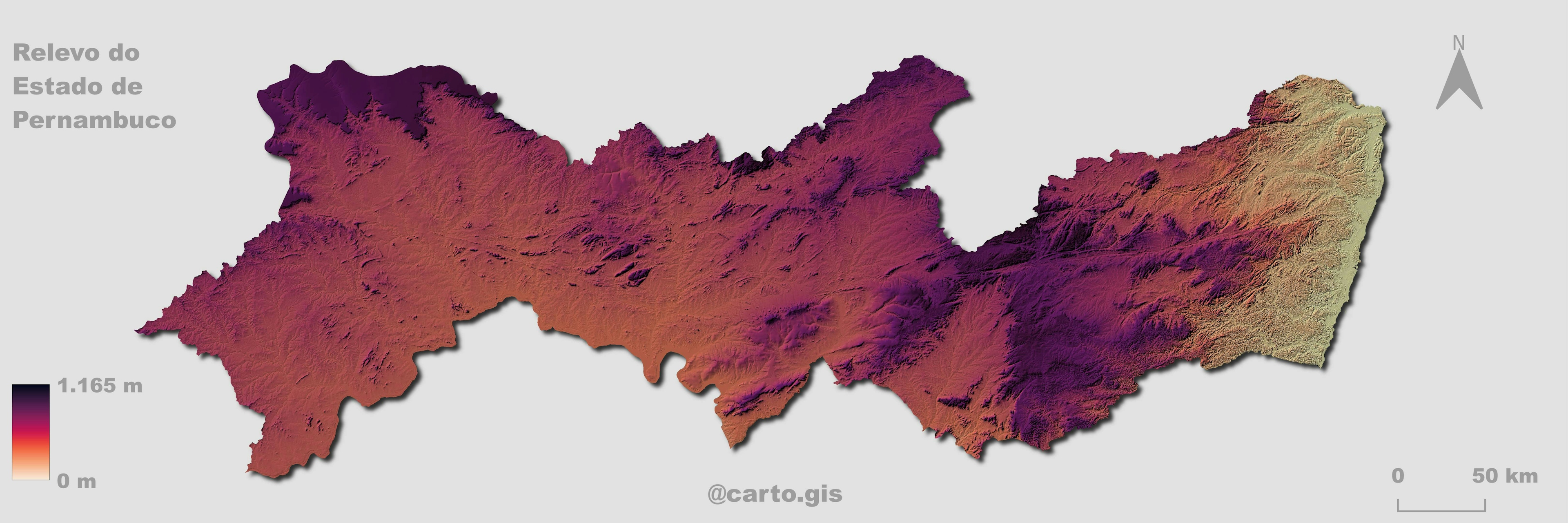
[ Creating a "Pseudo 3D" Topography in ArcGIS Pro / QGIS ] 📍🛰️
Recently, I saw John Nelson publication of a YouTube video recreating an Esri post on Instagram about generating a terrain contour image through Artificial Intelligence.
In the video, the author shows step-by-step how it was done.
In my case, I used QGIS to map Petrópolis city (it was the first one that came to mind) following the tutorial and making some adaptations (as the author suggests).
All map production reference links are here:
ESRI publication:
[ https://www.instagram.com/p/C1KZ9b5RThH/?img_index=3 ]
ArcGIS PRO tutorial:
[ https://www.youtube.com/watch?v=RTLBgd8MmrY ]
QGIS tutorial
[ https://digital-geography.com/create-pseudo-3d-topographies-in-qgis/ ]
#GIS#Cartography#DataVisualization#ArcGISPro#QGIS

![Projeto - Análise Espacial [2/2]](/_next/image?url=https%3A%2F%2Fstorage.googleapis.com%2Fspatialnodefiles%2Fprojects%2F7183e0f4-6ed3-4ba9-87a0-4a0bbe114974layoutmapavlt.png&w=3840&q=100)
![Projeto - Análise Espacial [1/2]](/_next/image?url=https%3A%2F%2Fstorage.googleapis.com%2Fspatialnodefiles%2Fprojects%2F9c96159b-e45d-4811-b8b1-236f8d9c3a98layoutmapametro.png&w=3840&q=100)


.svg "Keran Nkongolo")