
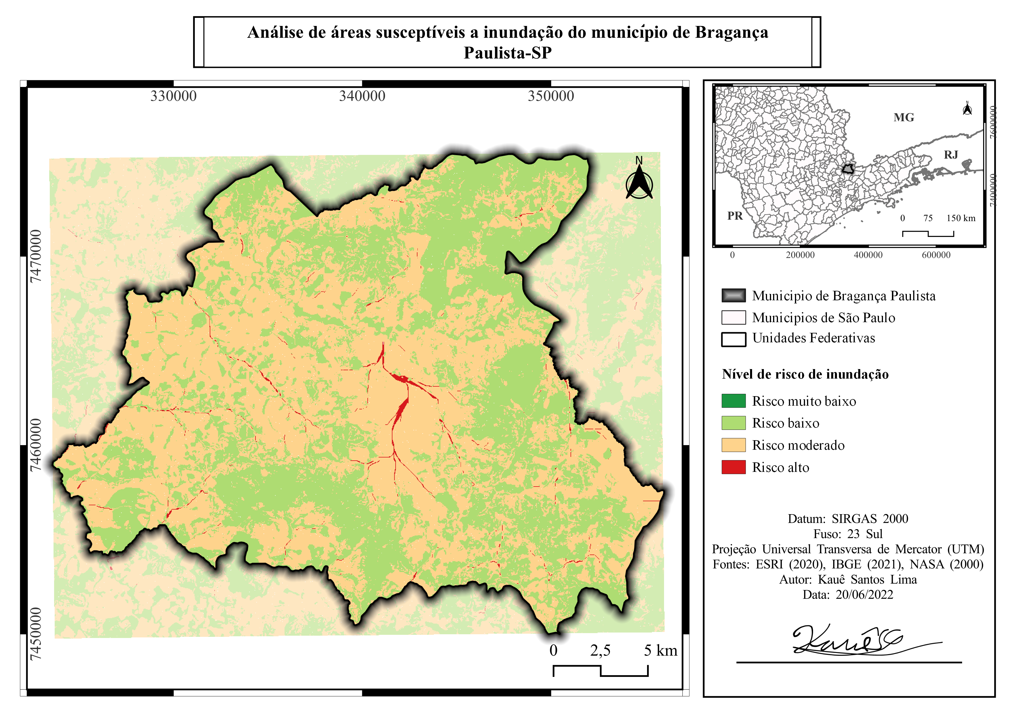
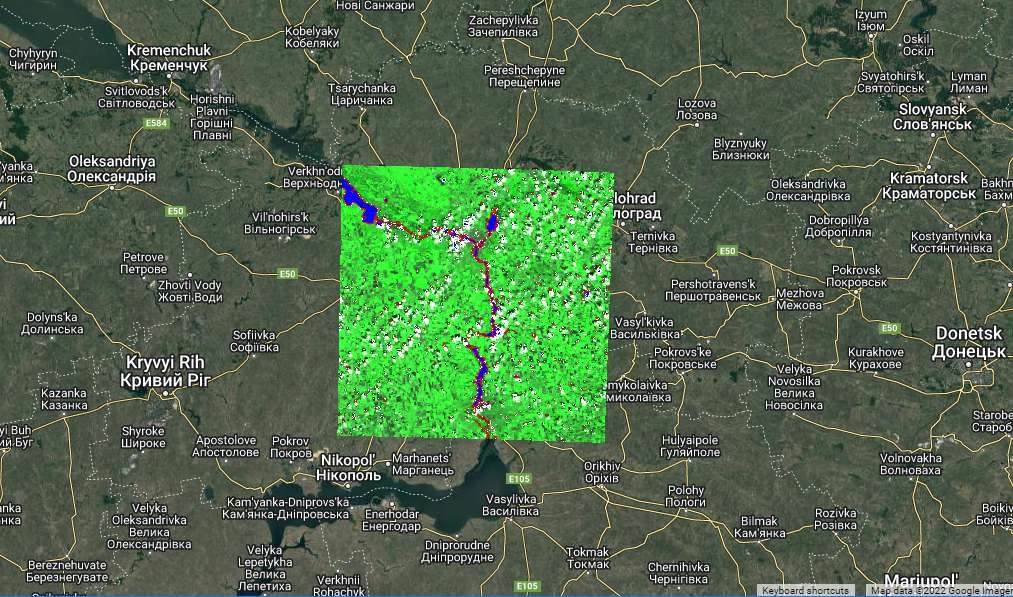
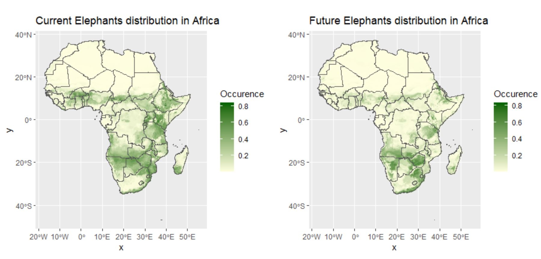
Flood susceptibility map of areas in the municipality of Bragança paulista according to a risk gradient
Susceptibility to flooding of areas
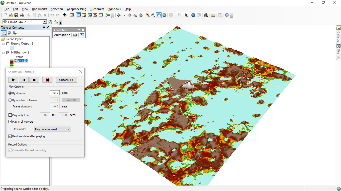
Tools used
RASTER PROCESSINGSAGA GISvector addition
Plug-ins used
calculadora rasterSAGA GIS
tags
bacias hidrográficasMDTuso do soloWater
More by Kauê Santos Lima

You might also like


Join the community!
We're a place where geospatial professionals showcase their works and discover opportunities.