Sign up or log in to your Spatialnode account.

Takes less than a few seconds.

2D Shaded relief map of Africa.

Bamidele Daniel Ohinoyi
Bamidele Daniel Ohinoyi•

May 31, 2022

2D Shaded relief map of Africa.

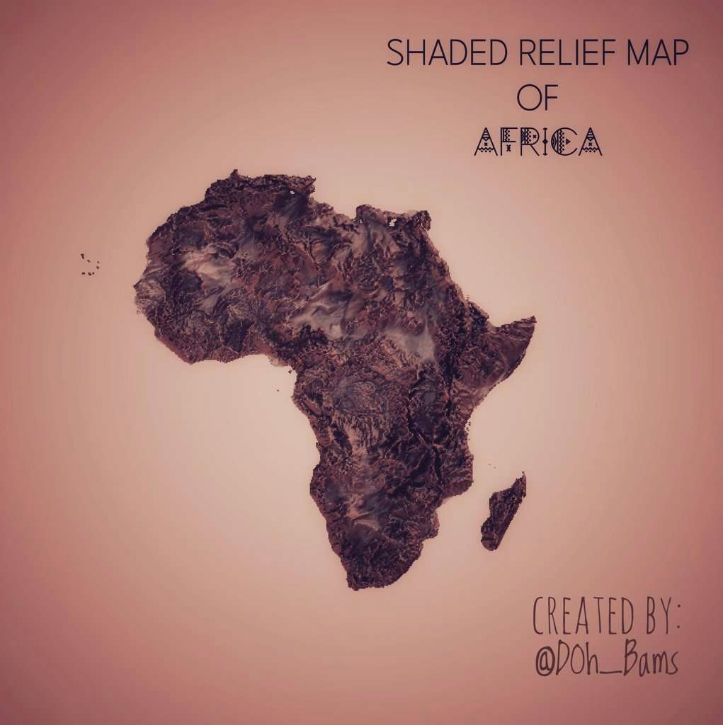
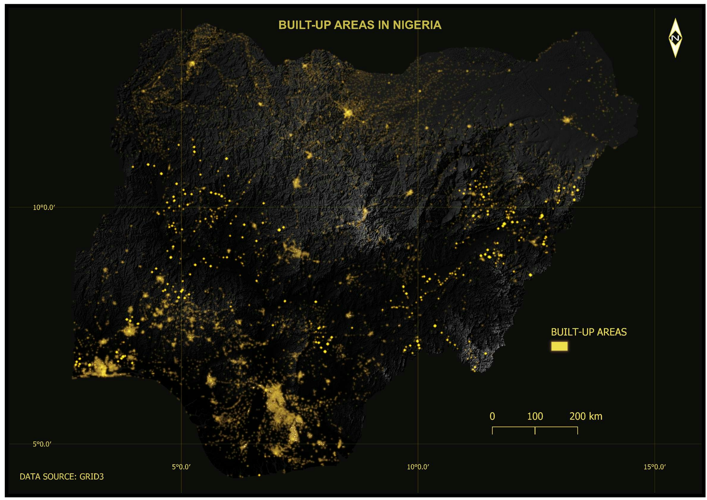
Hello, here's a 2D shaded relief map of Africa created in #RStats using #rayshader.


Tools used

R Studio

Plug-ins used

RasterRayshaderRgdal

tags

africaDEMhillshadeR MapShaded Relief

More by Bamidele Daniel Ohinoyi

Fertility Rate by State
115
Waterways in Nigeria.
48
Nigeria Population Distribution by LGA.
381
Street Map Art, Mainland LGA, Lagos, NGA
286
Street Map Art, Festac Town, LA, NIgeria
324
IGR at the state level in Nigeria (2020)
58
Built-up areas in Nigeria.
83
Presidential election results in Nigeria
48
Active Internet Subscribers in Nigeria.
79
Central Business District in Abuja.
125
POP. DENSITY ESTIMATES OF NIGERIA : 2021
473
Flood Hazard Map for Baxter River, CA.
340

You might also like

Land cover Map of Kenya(2020)
Hemed Lungo
Land cover Map of Kenya(2020)
Hemed Lungo
79
Chile - Data Science and Scripting
Matthew Tomitz
Chile - Data Science and Scripting
Matthew Tomitz
5
Intervenções e Georreferenciamento
Mauricio Matheus
Intervenções e Georreferenciamento
Mauricio Matheus
14
Hidrografia do PARNA Catimbau
Matheus Maciel
Hidrografia do PARNA Catimbau
Matheus Maciel
14
Absolute Pop Change CSA
Niroj Shrestha
Absolute Pop Change CSA
Niroj Shrestha
20
Douala Road network
Derrick Demeveng
Douala Road network
Derrick Demeveng
139
Mapa de classificação de solo de SP
Rogério Gusmão Junior
Mapa de classificação de solo de SP
Rogério Gusmão Junior
5
WebMapa da População de Pernambuco
Carlos Alberto
WebMapa da População de Pernambuco
Carlos Alberto
28
Study Area Location Map
Derica Sousa
Study Area Location Map
Derica Sousa
6
Design for uniform output
Sherri Michl
Design for uniform output
Sherri Michl
49
Dot Density Map of 2016 U.S. Election
Derrick Liu
Dot Density Map of 2016 U.S. Election
Derrick Liu
9
Mapping Childcare Access Perceptions
Armster Edwards
Mapping Childcare Access Perceptions
Armster Edwards
25

Join the community!

We're a place where geospatial professionals showcase their works and discover opportunities.

Sign Up for free