
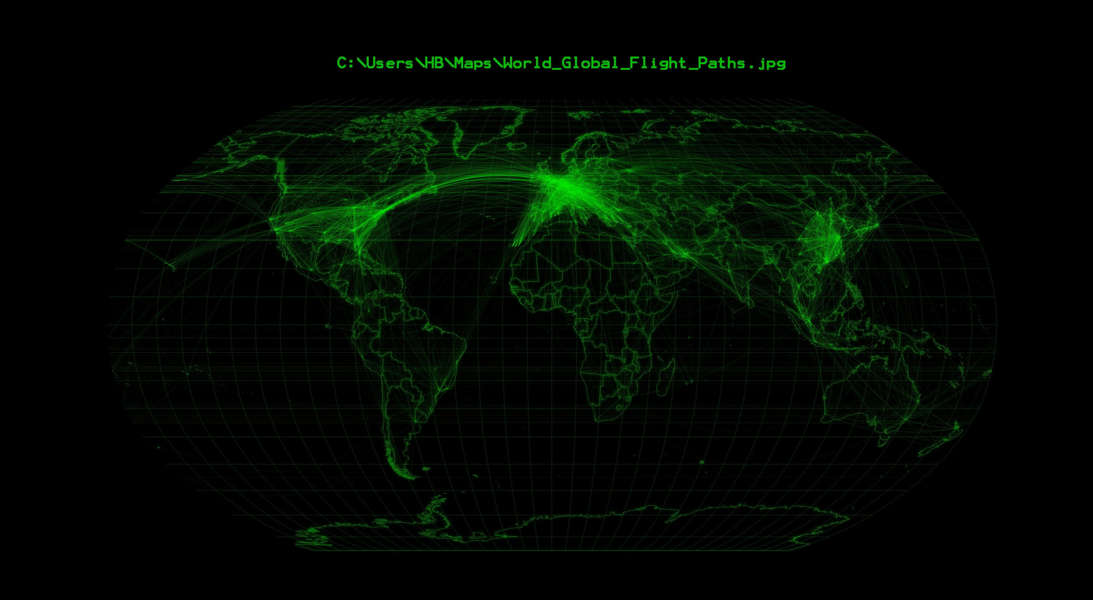
The flight paths were derived from the openflights dataset (https://openflights.org/data.html) by using the QGIS Plugin Shape Tools XY To Line.
Global Flight Paths
Tools used
QGIS
Plug-ins used
Shape Tools
tags
#mappychallengeOpen sourceQGIS
More by Hamza Bouarakia

You might also like


Join the community!
We're a place where geospatial professionals showcase their works and discover opportunities.