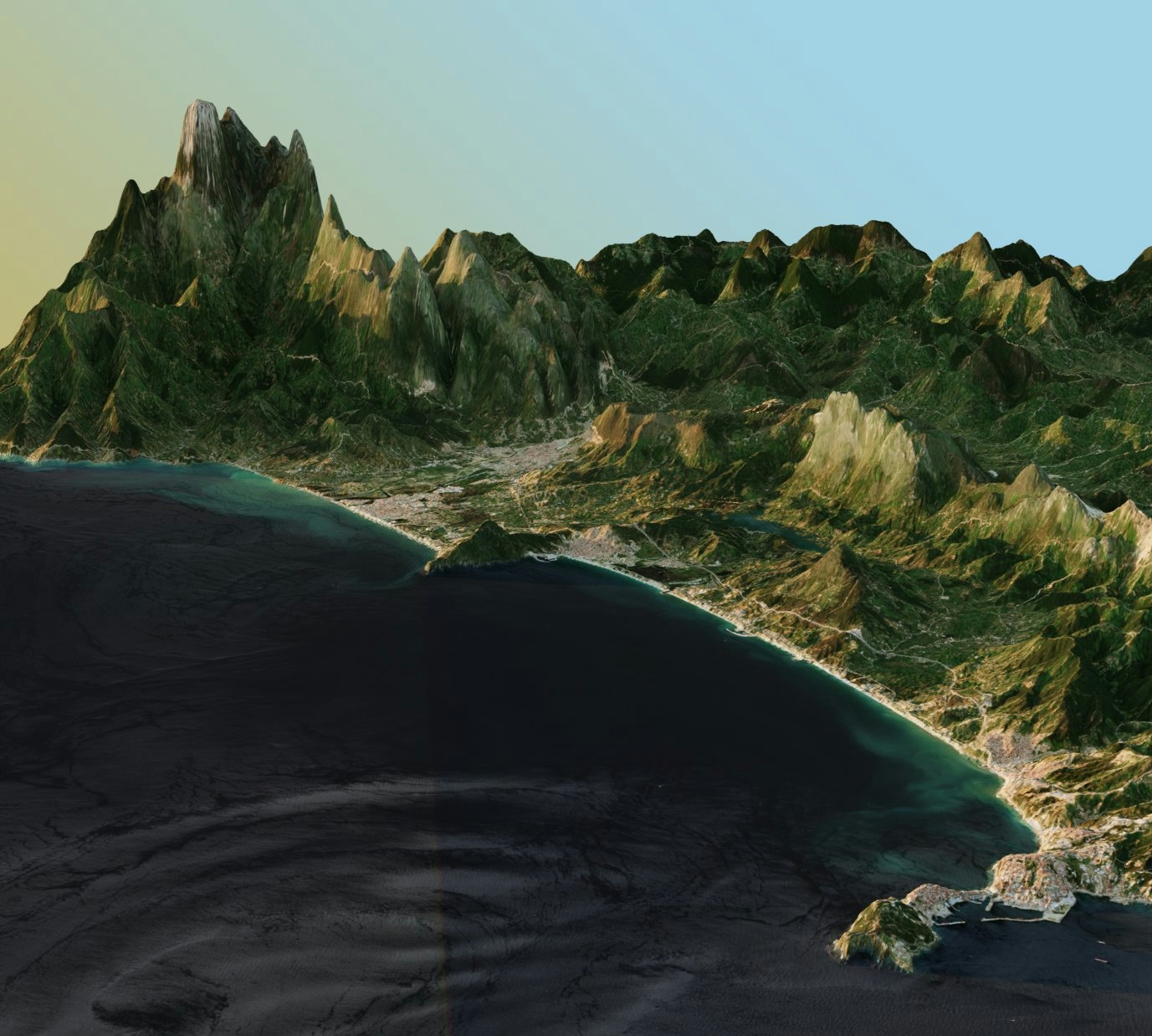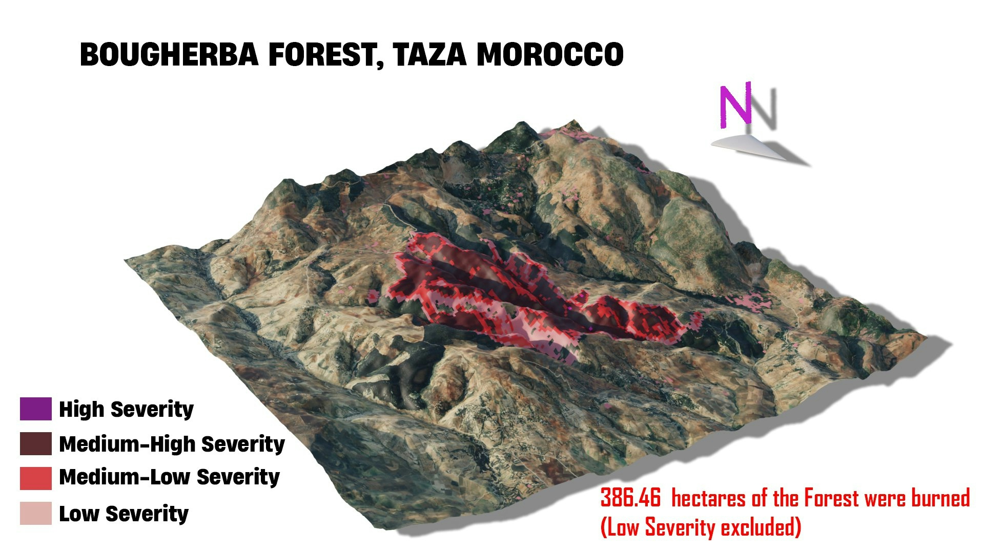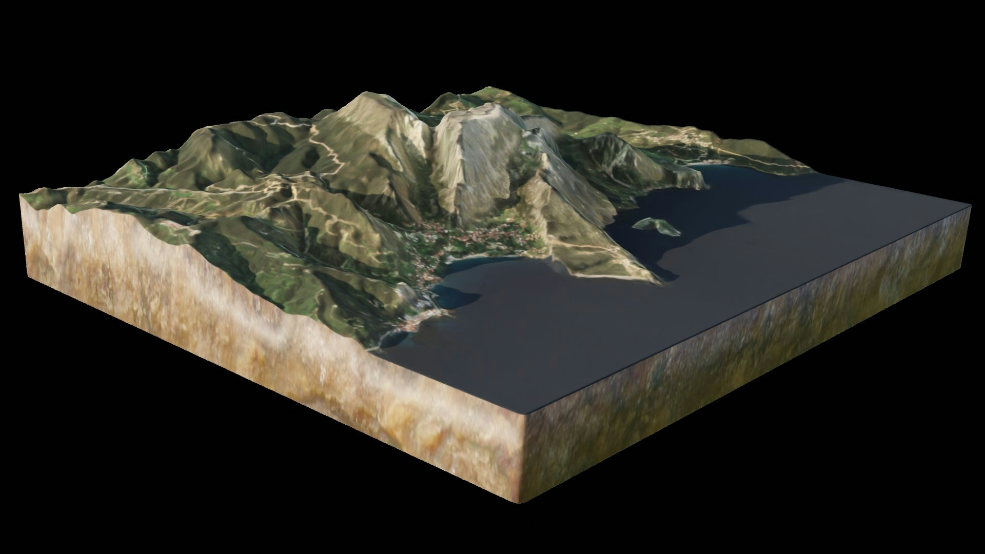
A 30m Digital Elevation Model,Sentinel-2 L2A image were prepared using QGIS, then imported to Blender for further 3D modeling.
A Rock texture was also used for the sides of the 3D Landscape substratum.
Jbel Moussa Landscape
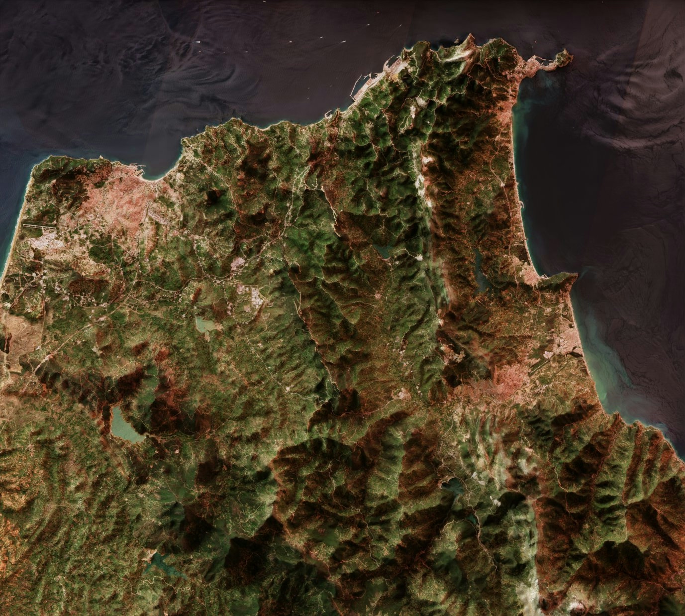
A 30m Digital Elevation Model,Sentinel-2 L2A image were prepared using QGIS, then imported to Blender for further 3D modeling.
A Rock texture was also used for the sides of the 3D Landscape substratum.
More by Hamza Bouarakia
You might also like
We're a place where geospatial professionals showcase their works and discover opportunities.