Sign up or log in to your Spatialnode account.
Takes less than a few seconds.
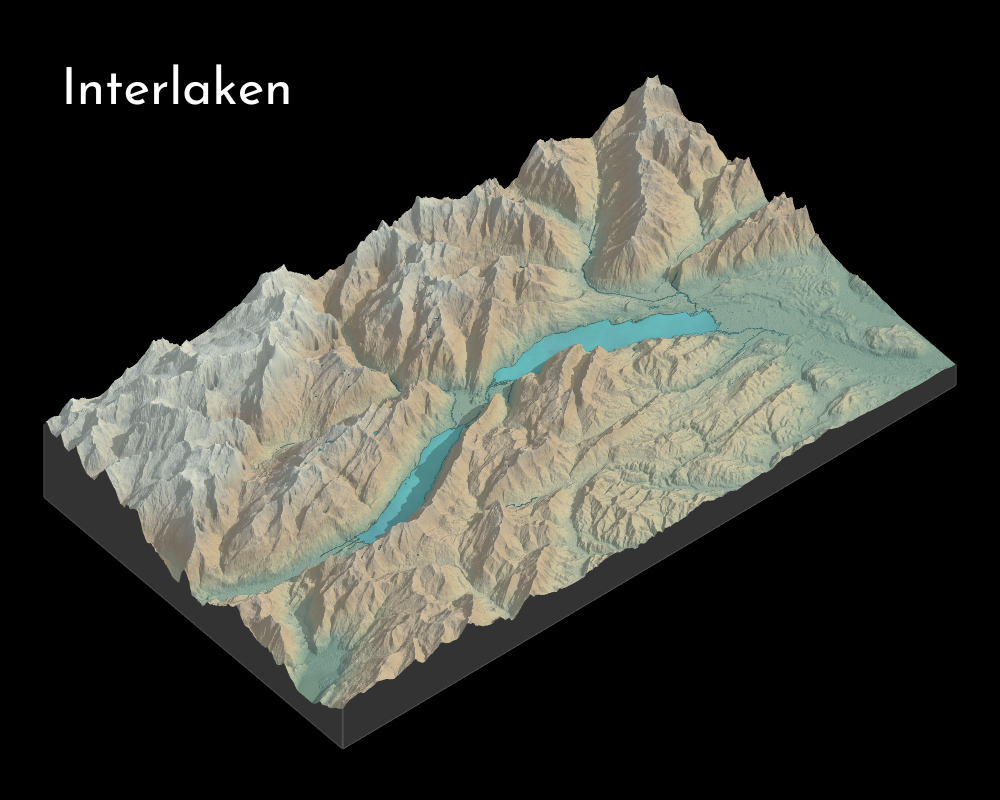
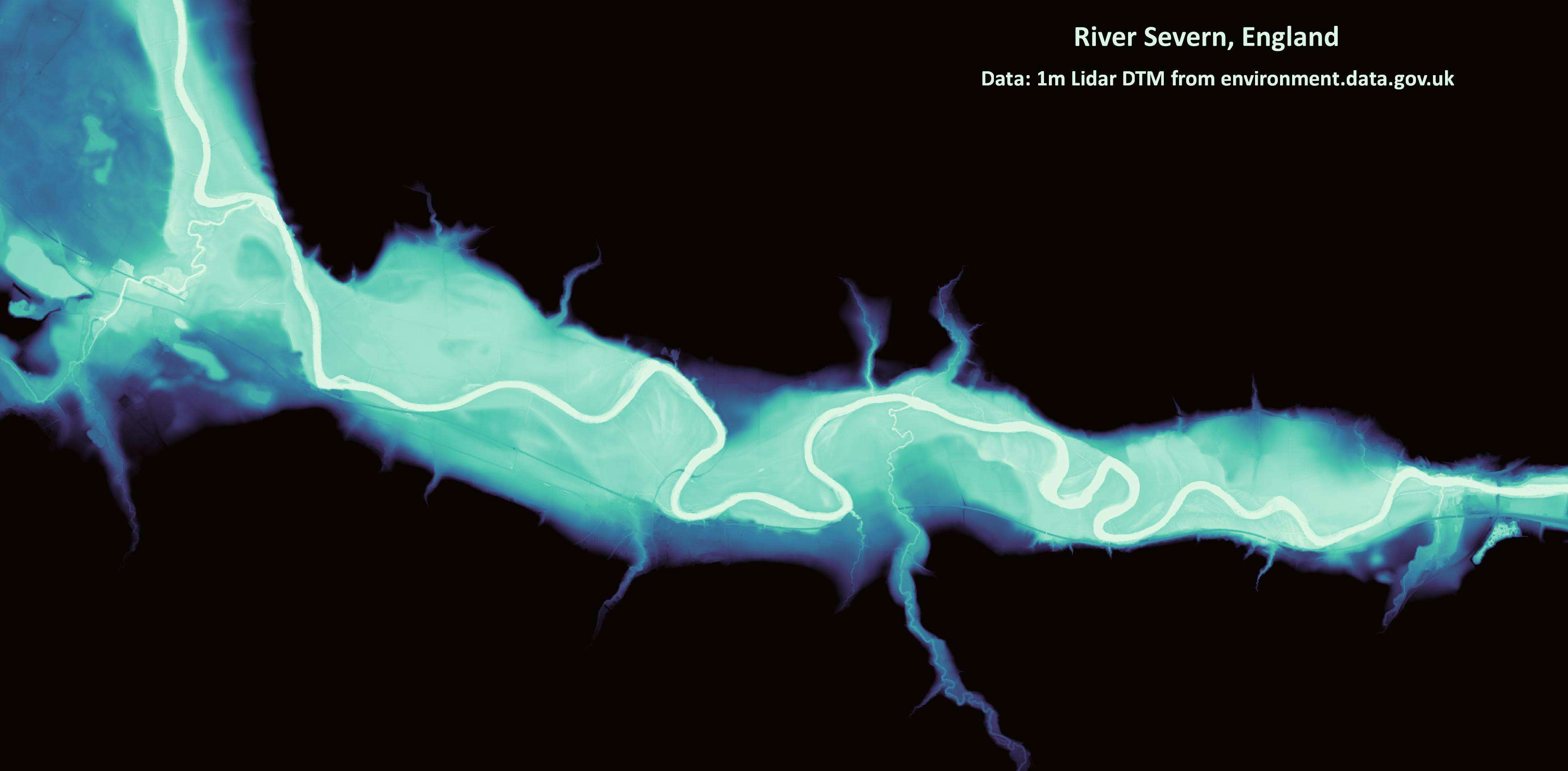
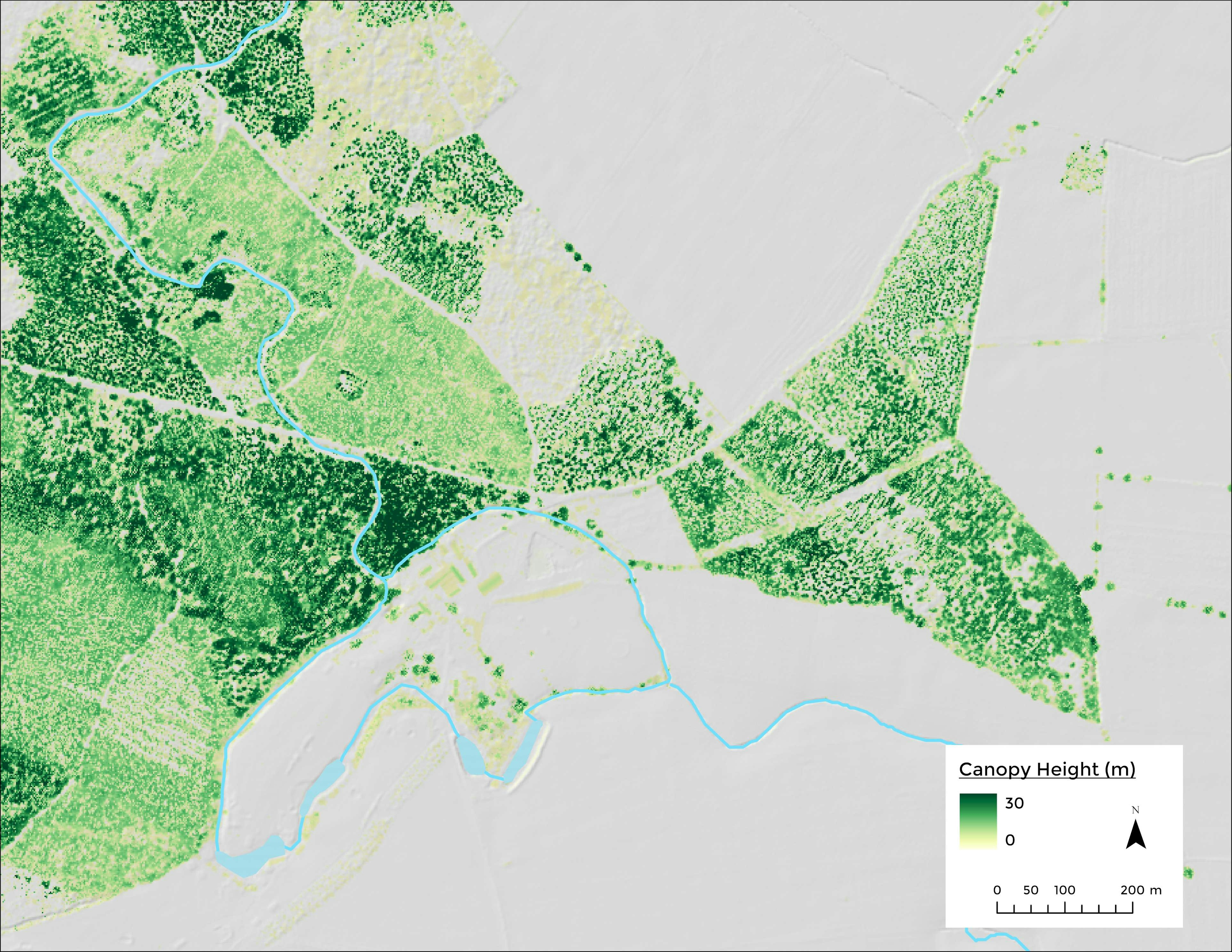
Interlaken with RayShader
March 12, 2023
Data: USGS SRTM
Using QGIS and RayShader
More by Adriana Calderon
You might also like
We're a place where geospatial professionals showcase their works and discover opportunities.


_2239484.png&w=3840&q=100)


_2_5005765.jpg&w=48&q=40 "Poliana Marilia da Silva Mello Betella dos Santos")


.svg "Alec Soltes")