
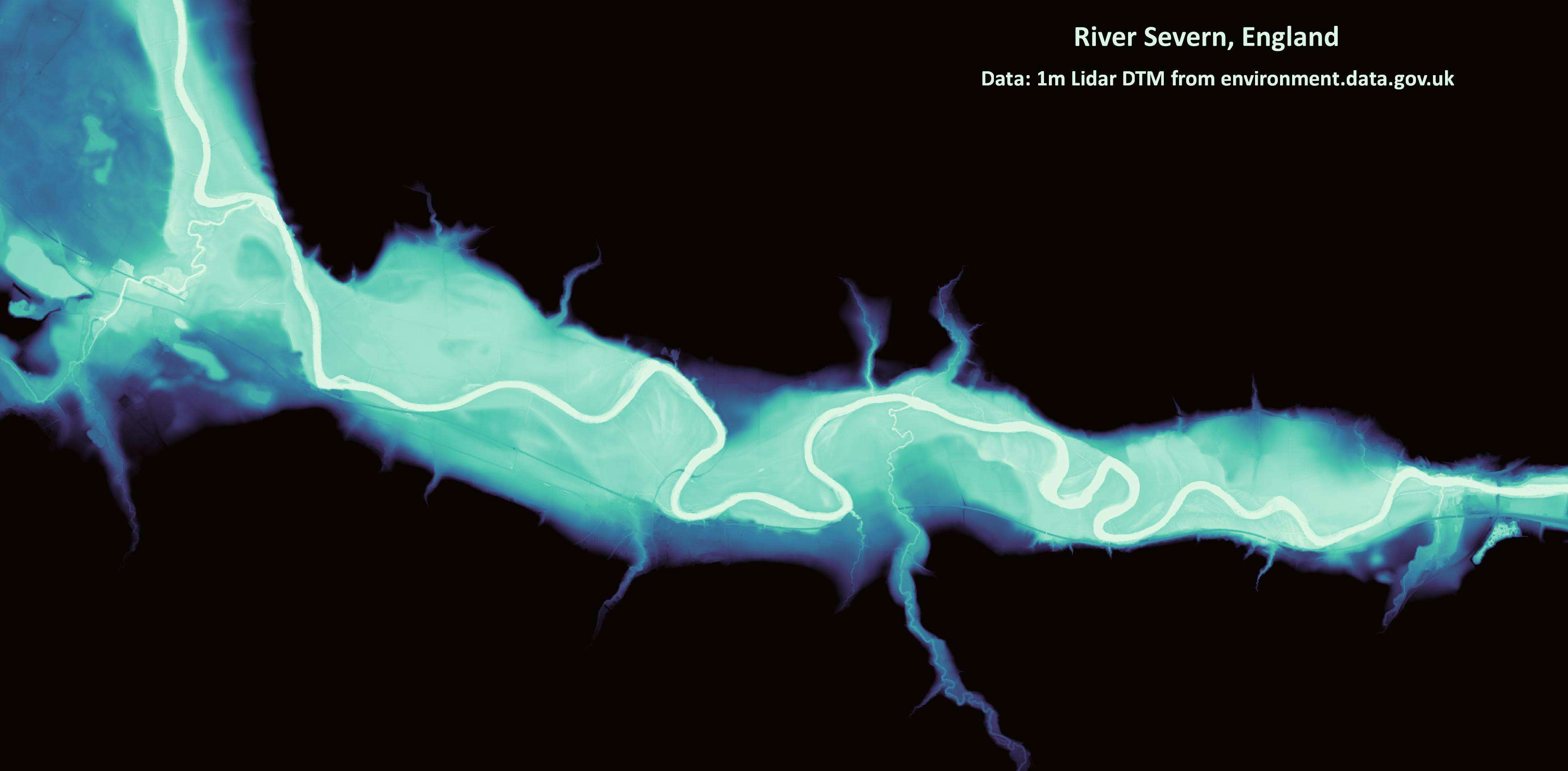
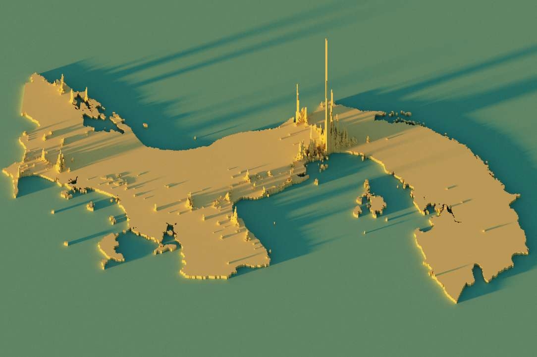
I created this REM model for the River Severn in England, using the incredible tutorial from Dan Coe Carto.
Relative Elevation Model (REM)
Tools used
QGIS
Plug-ins used
point sampling toolQchainage
tags
DTMQGISREMriver
More by Adriana Calderon
_2239484.png&w=3840&q=100)

You might also like


Join the community!
We're a place where geospatial professionals showcase their works and discover opportunities.