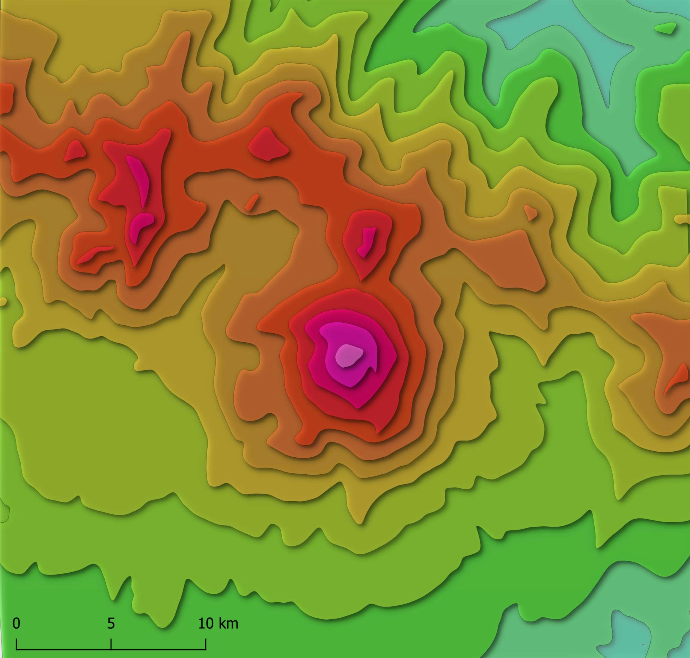
Story
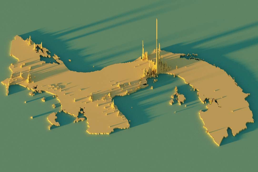
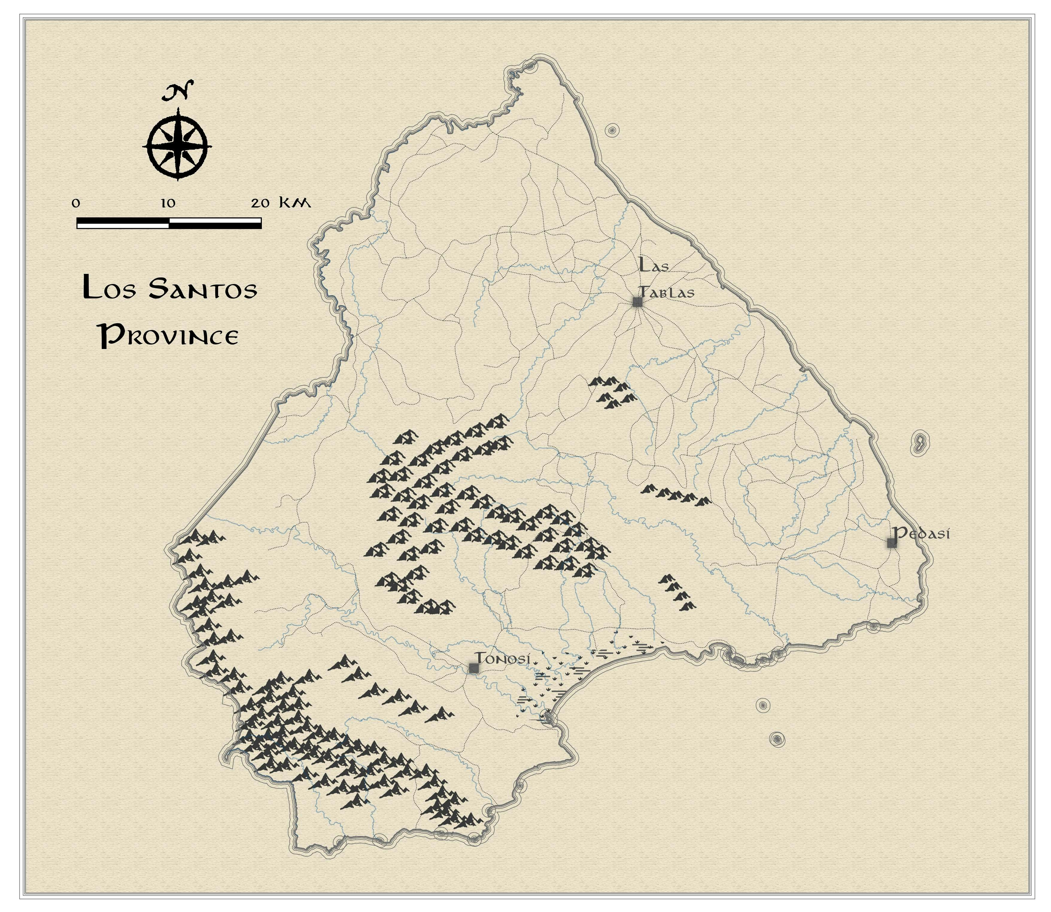
Volcan Barú is the highest point in Panama at 3,475 meters above sea level. It is estimated that it last erupted 400-550 years ago. This mountain is one of the few places on earth where can you can see both the Atlantic and Pacific ocean at the same time after achieving an 8-hour journey to the top. Hikers tend to stay over the night in order to witness the sunrise early in the morning emerging from the Caribbean eastern side. I did this hike in 2018, but we turned back at 2,500 metres elevation, we were not planning to stay for the night and it was already late, guess we were pretty slow. I plan on doing this hike again and finally finding my way to the top.
Technique
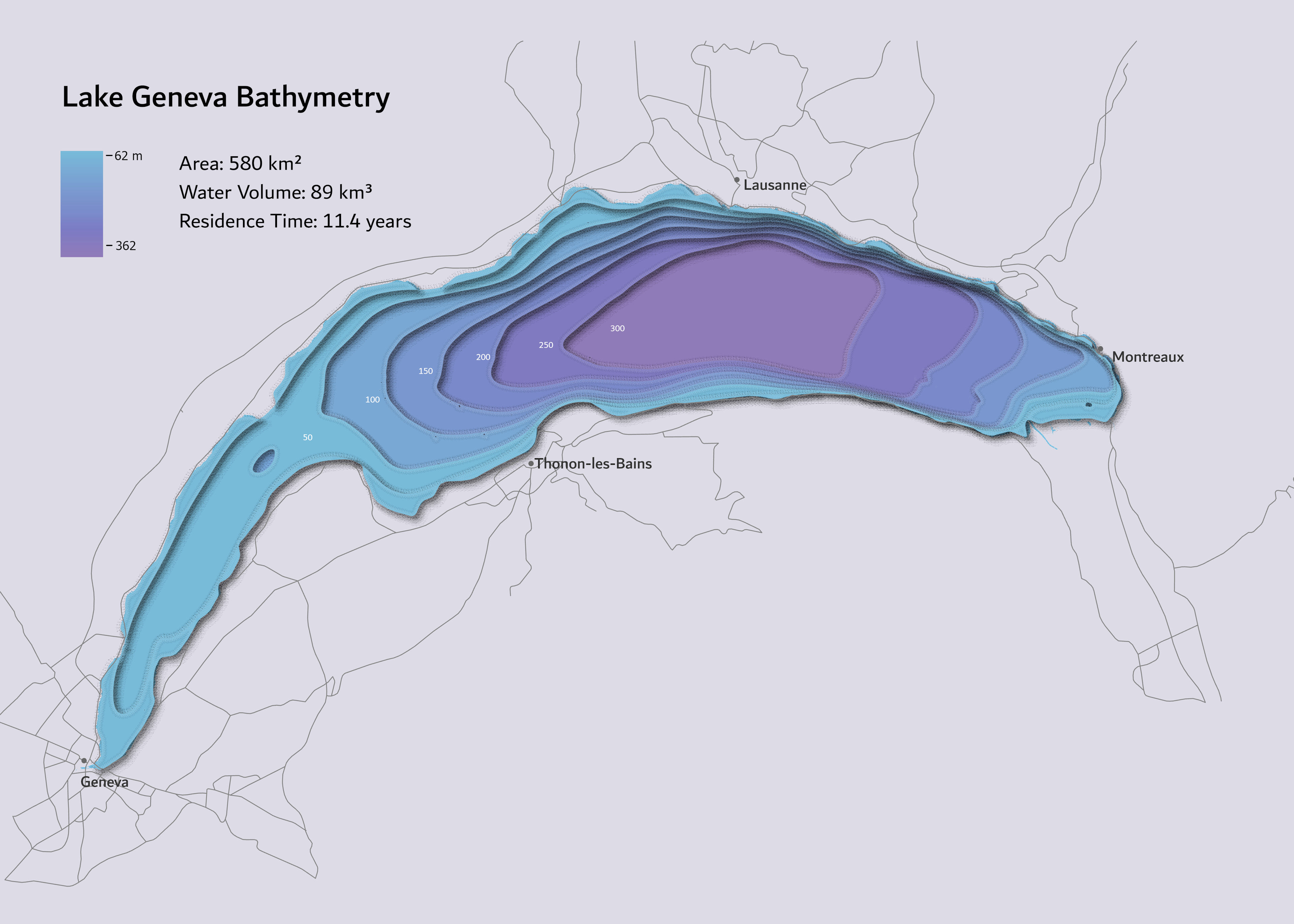
This paper-cut style is available for use in QGIS and free to access here. I used a DEM from NASA ASTER to create contour polylines with intervals every 200 meters, then, I transformed them into enclosed polygons in where each of the features has an elevation attribute value in integers. This way, when you load the style in Q, the shadow effect will work on your elevation data. I really liked this style, it's easy to use, the results are pretty and I'm looking forward to applying it in a different area!
_2239484.png&w=3840&q=100)