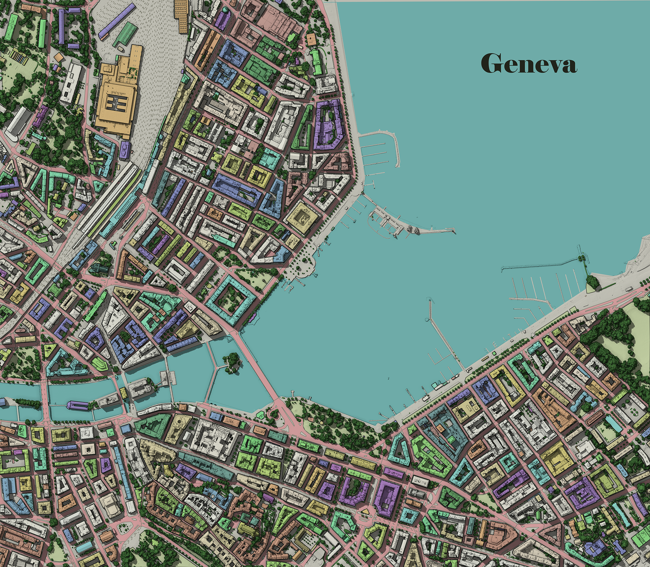
This 3D map showcases the city of Geneva, Switzerland, rendered using the rayshader library in R.
The elevation model used is derived from swiss topo: swissSURFACE3D, collected through airborne LiDAR technology.
The color map was created in QGIS by overlapping a variety of vector layers. These layers include buildings sourced from swisstopo, tree data extracted from the lidar point cloud using LAS tools, road polygons sourced from The Territory Information System in Geneva (SITG), and deck information derived from the lidar point cloud.

_2239484.png&w=3840&q=100)