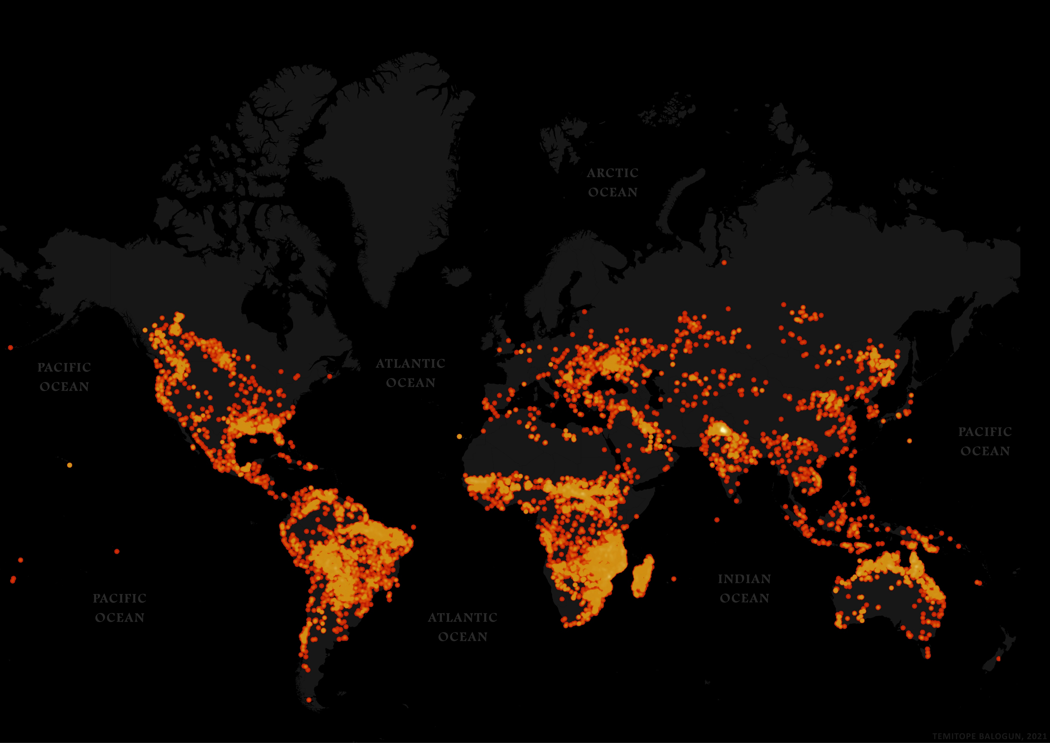
Active fire in the last 7 days

Tools used
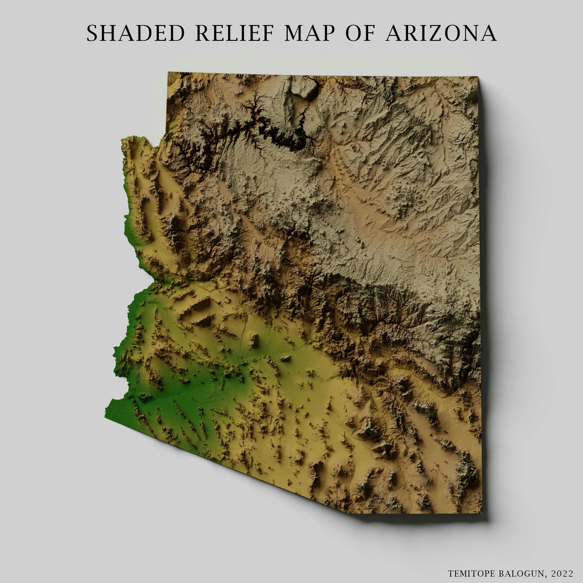
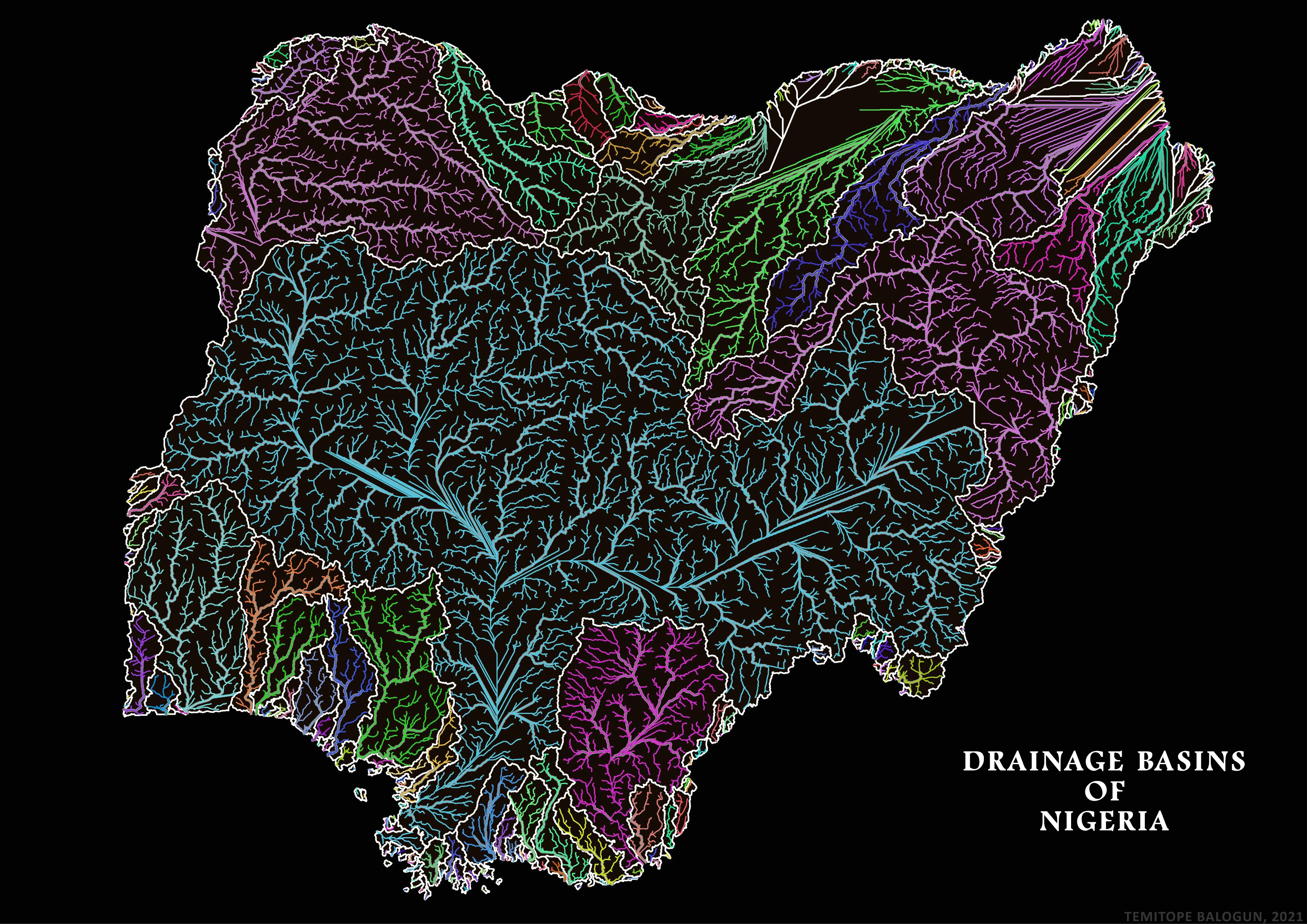
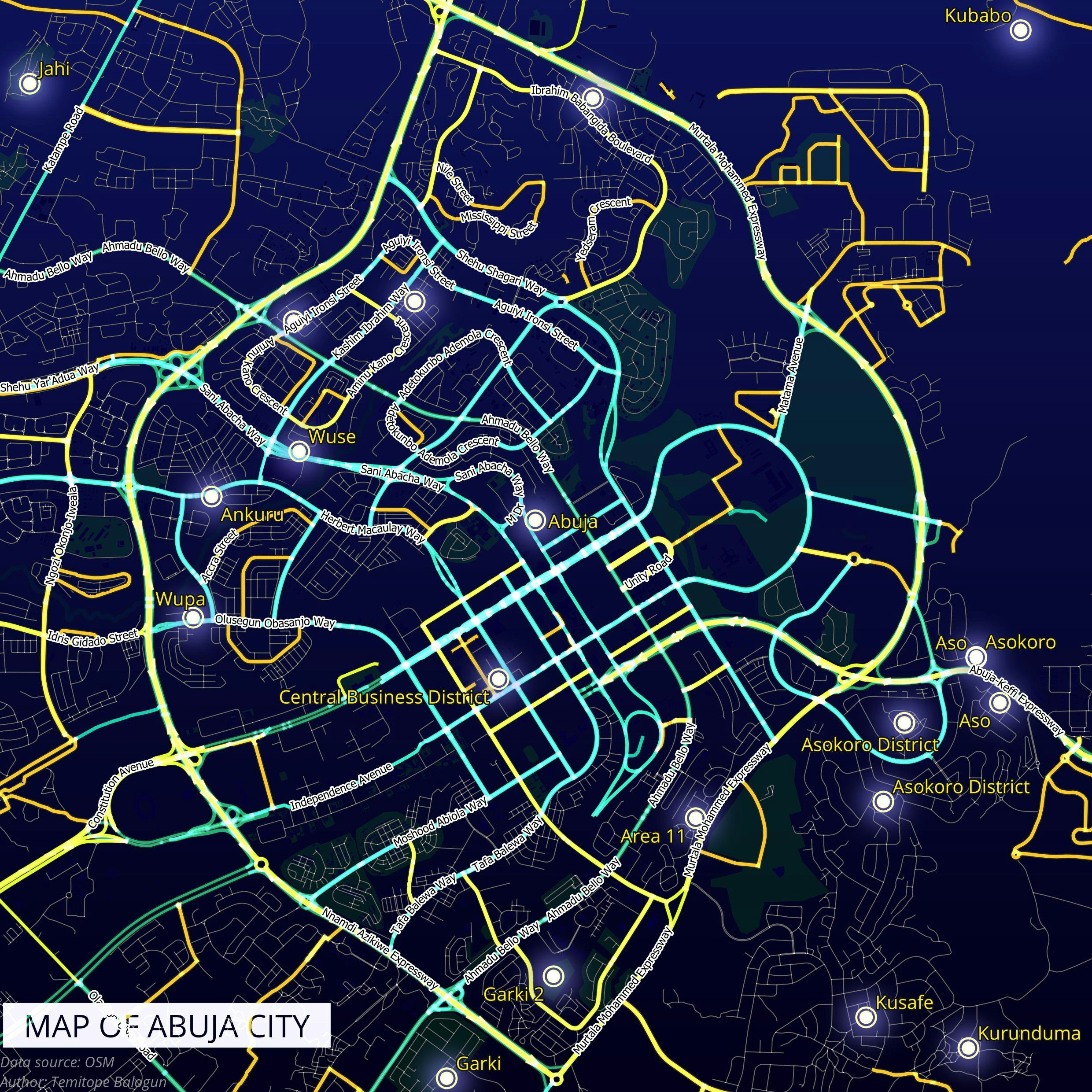
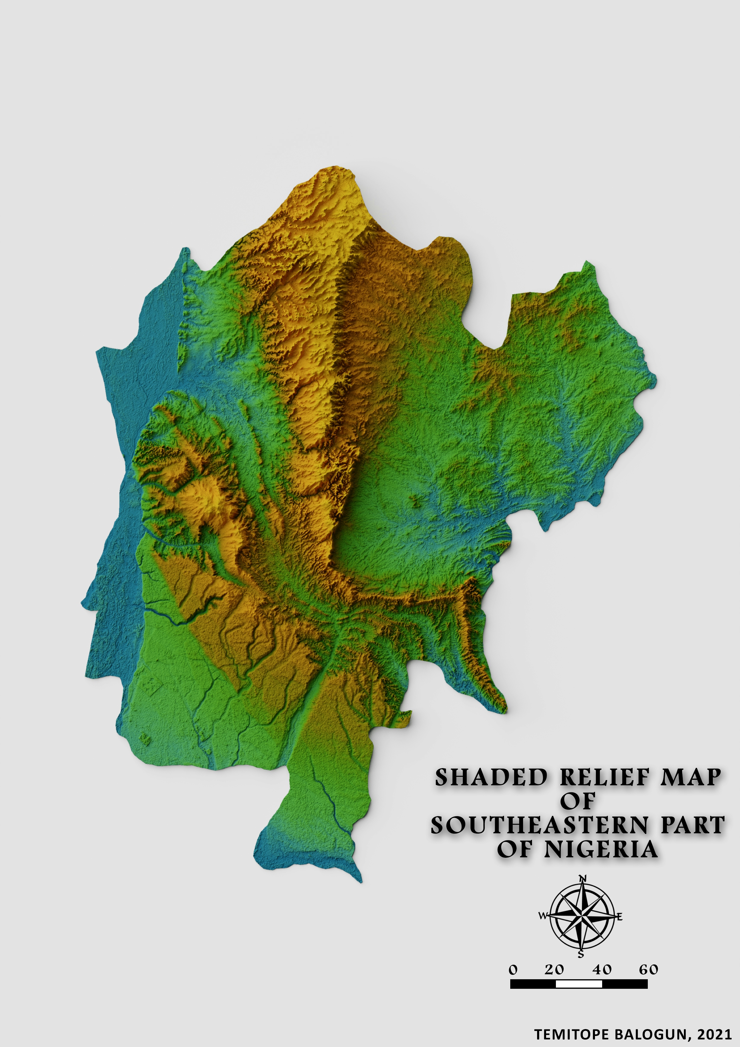
QGIS
Plug-ins used
Spatial analyst
tags
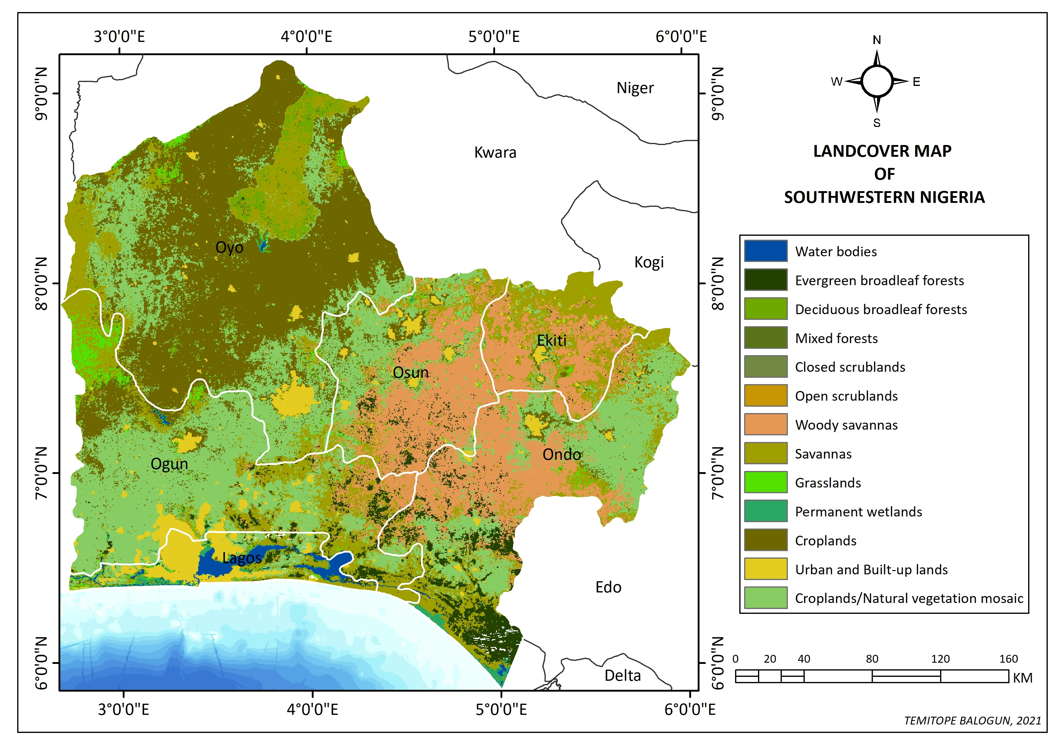
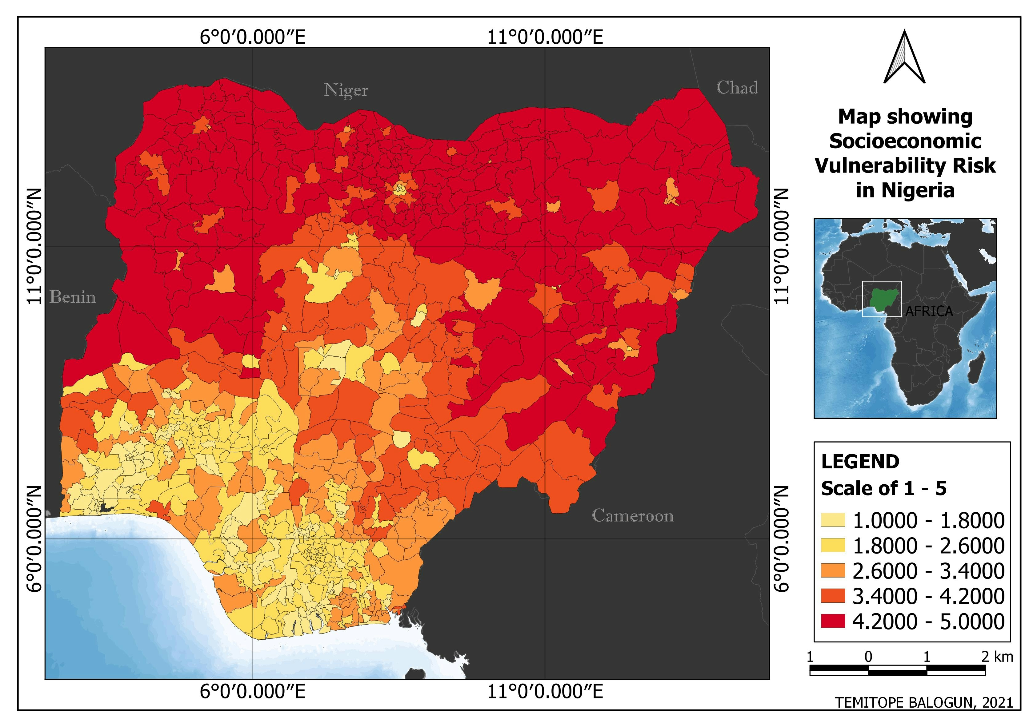
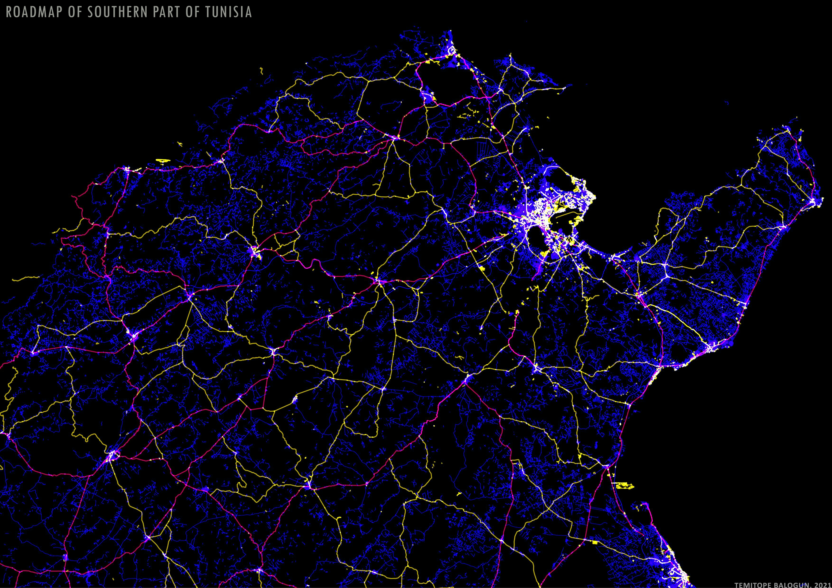
Data VisualizationQGIS
More by Balogun Temitope

You might also like


Join the community!
We're a place where geospatial professionals showcase their works and discover opportunities.