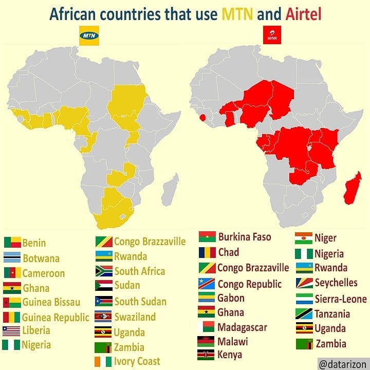
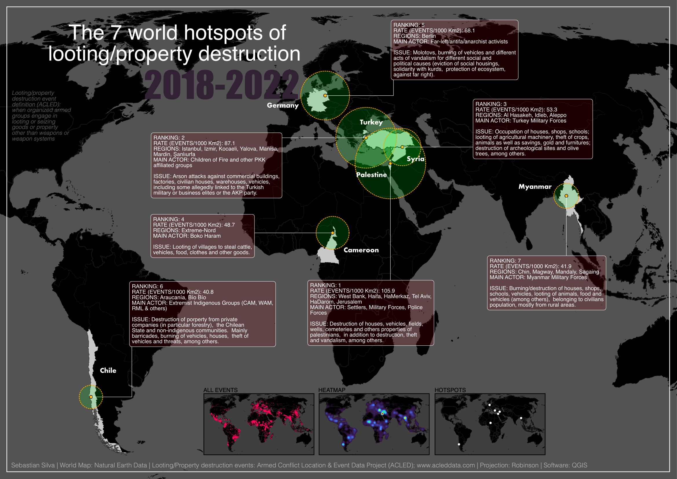
African countries that use MTN and Airtel

Tools used
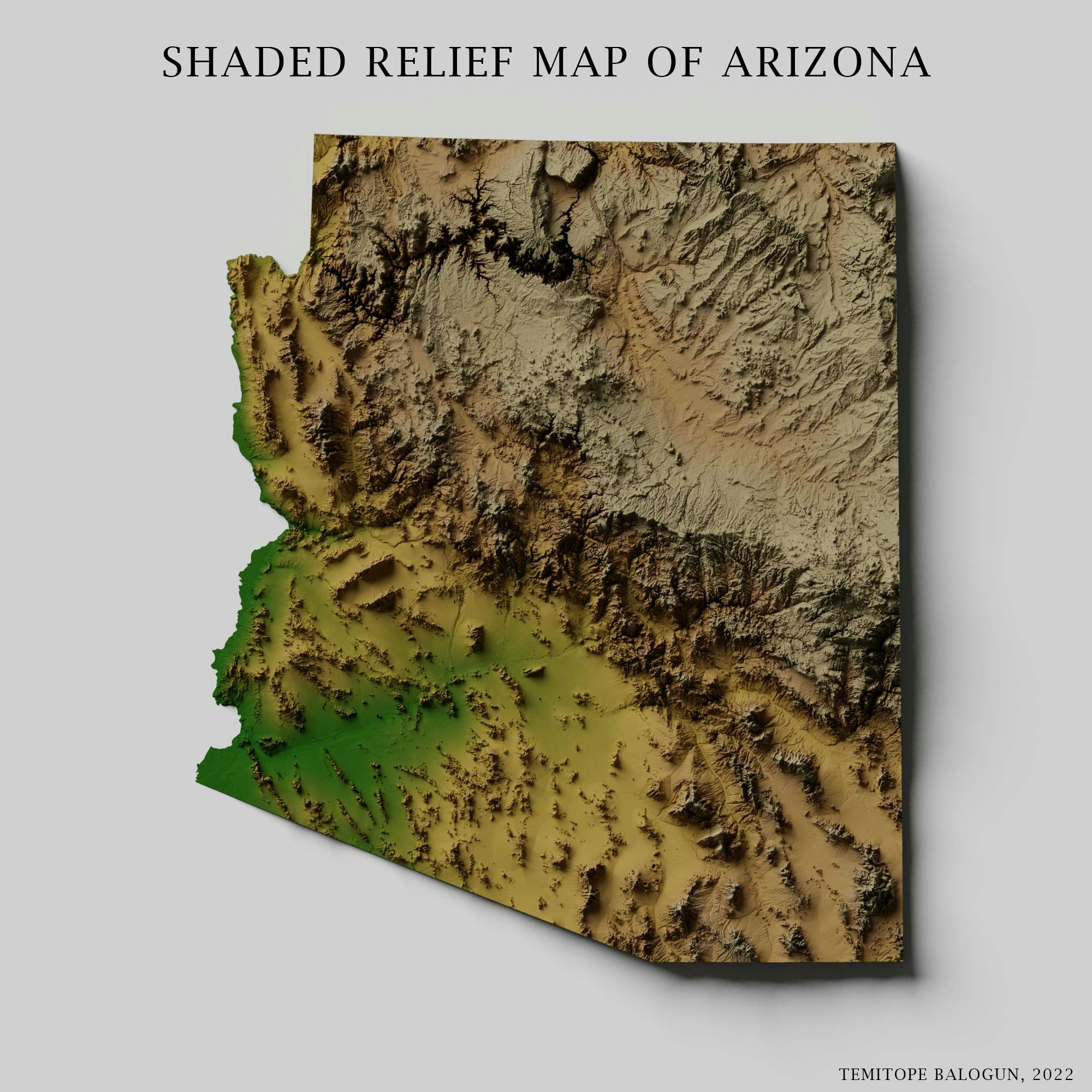
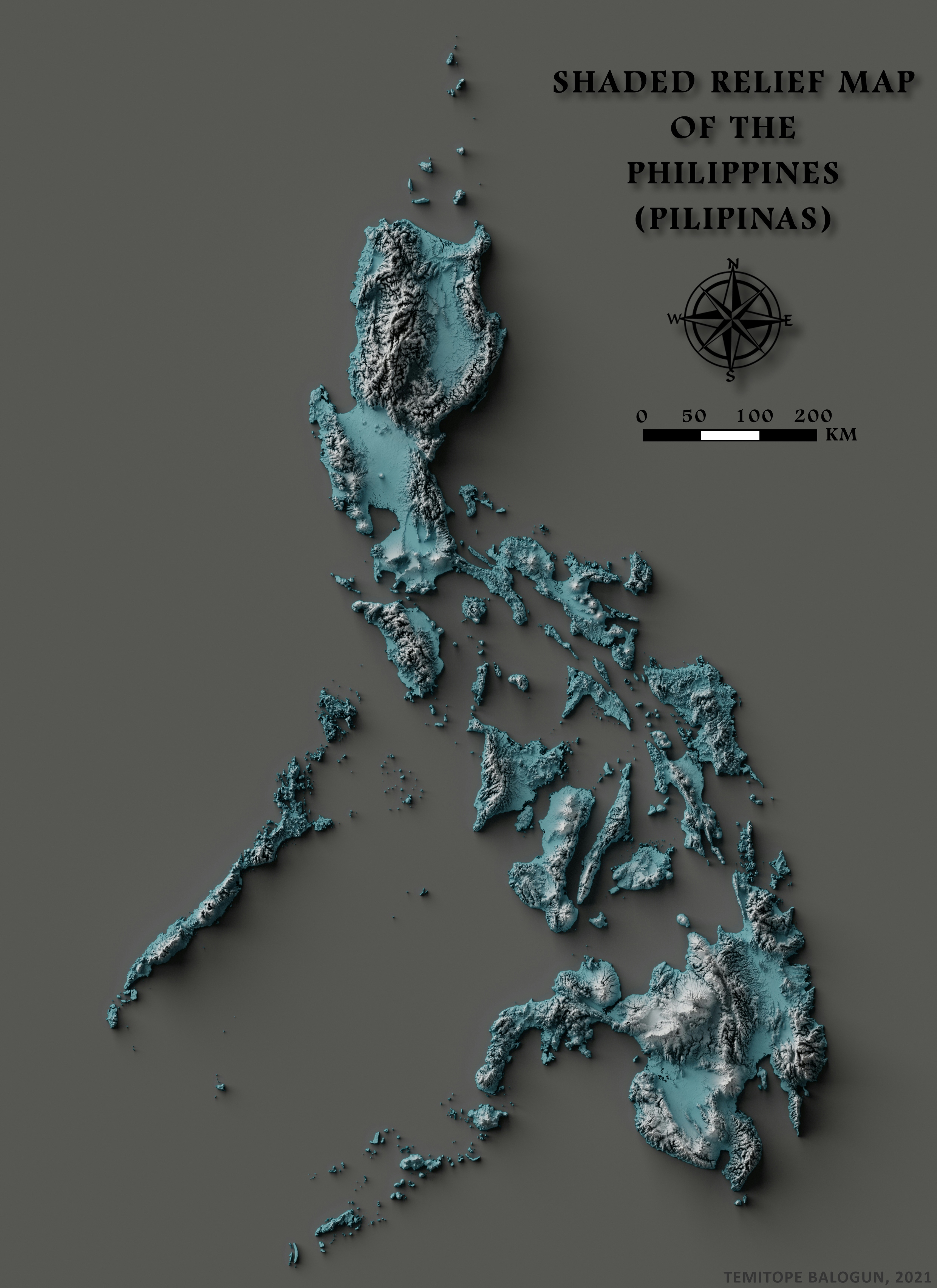
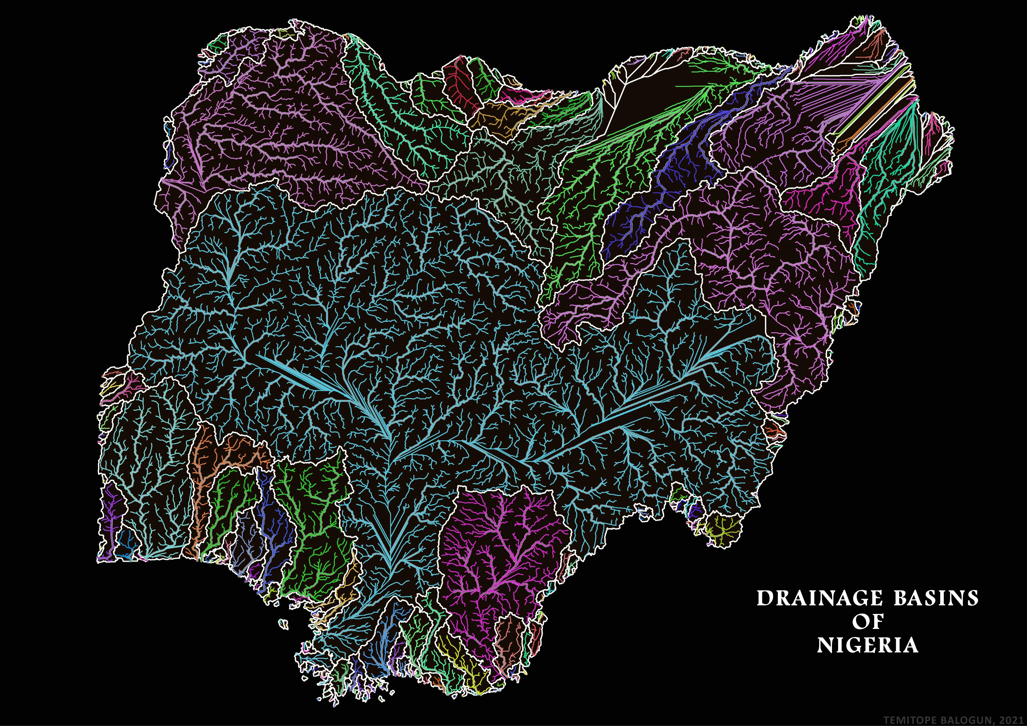
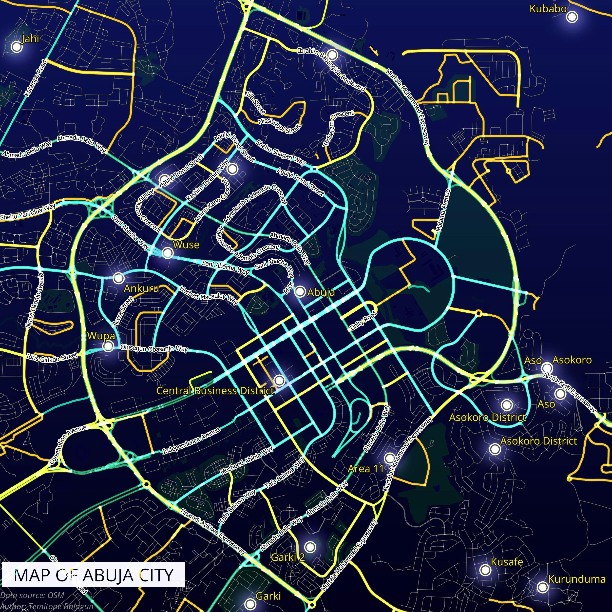
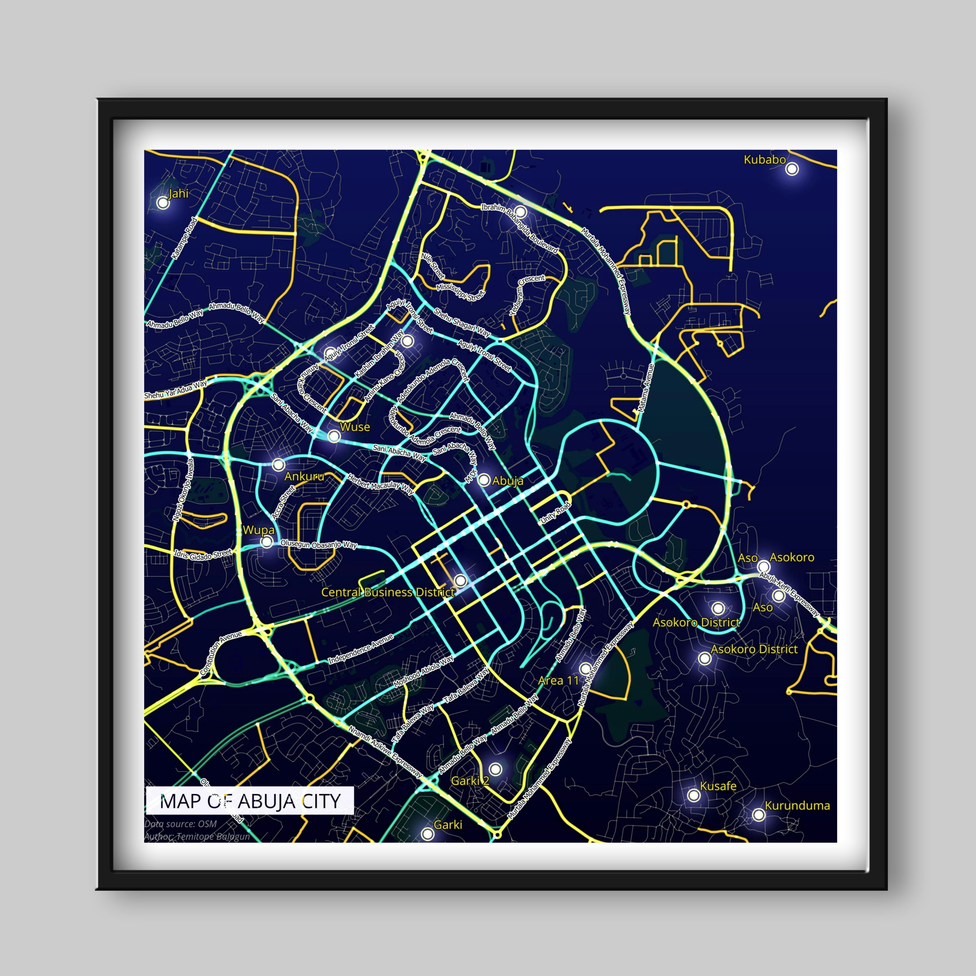
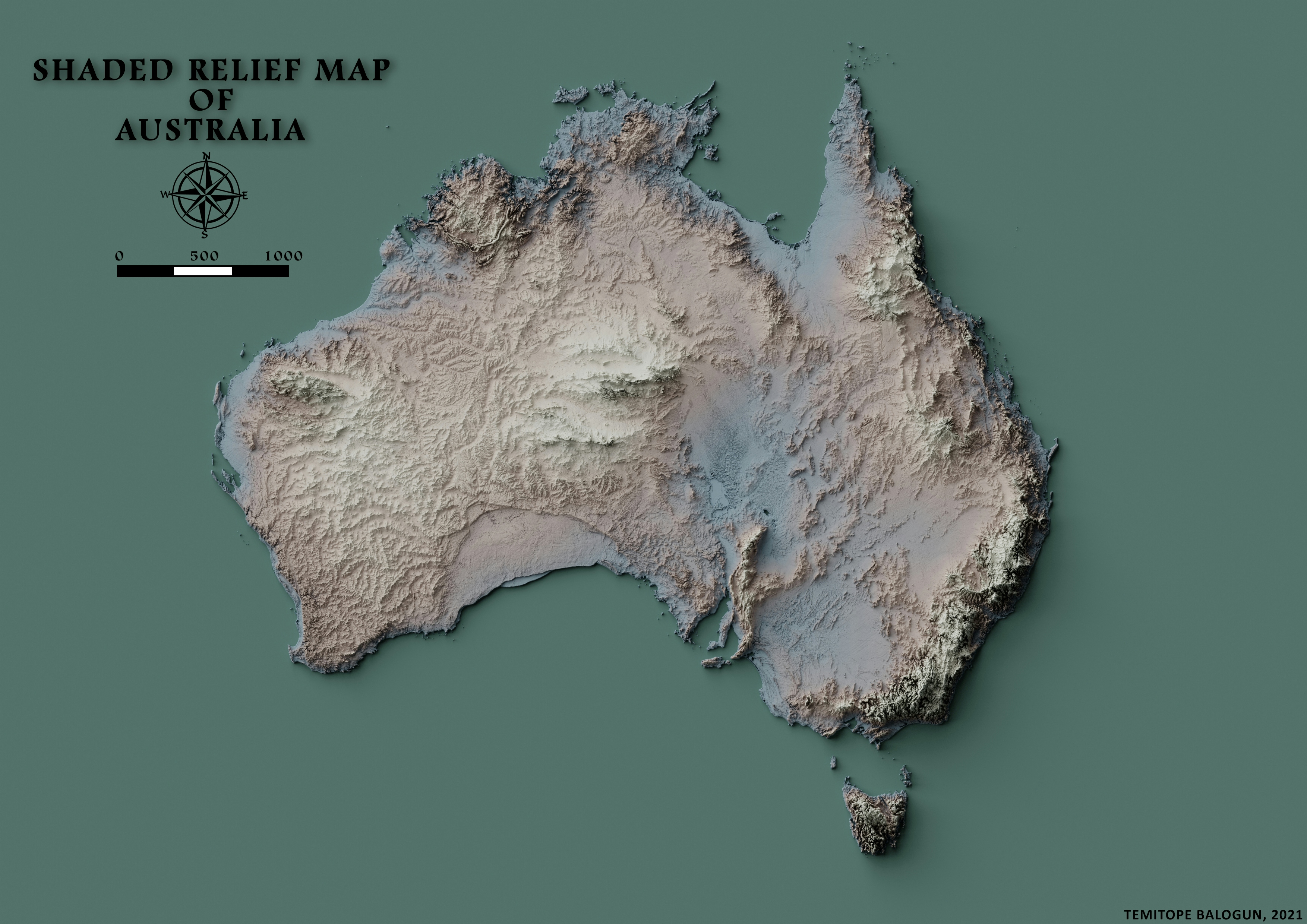
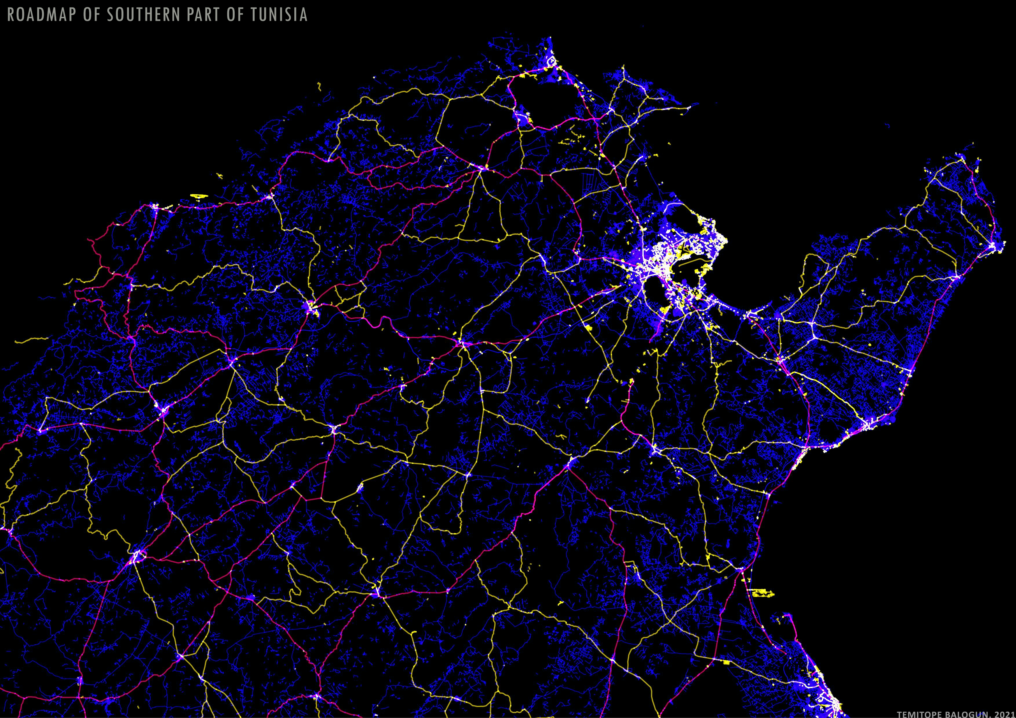
ArcMap
Plug-ins used
Spatial analyst
tags
ArcMapData Visualization
More by Balogun Temitope

You might also like


.svg "Keran Nkongolo")


Join the community!
We're a place where geospatial professionals showcase their works and discover opportunities.